Mountains & hills · North East England
High Rigg
Also known as: St. Johns
High Rigg — Named summit at 355.7 m.

Wikimedia Commons contributors — see linked file page for photographer and licence licence
Plan your visit
- Typical visit
- 3 h–8 h
- Best time of year
- Late spring – early autumn (May–Oct)
- Nearest railway station
- Threlkeld Quarry · 2.9 km
- Free entry
- Dog-friendly
About
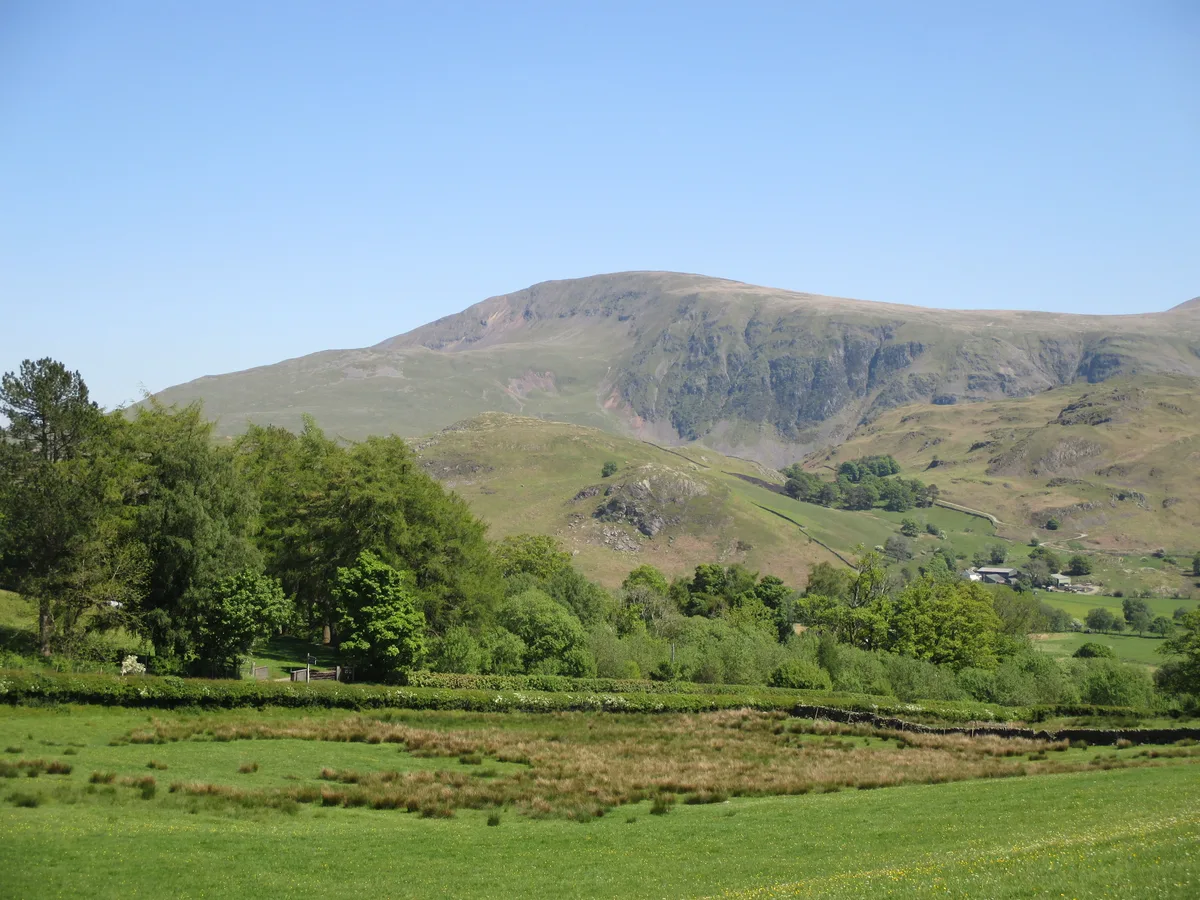
High Rigg is a named summit in the United Kingdom. Also known as: St. Johns. Wikidata describes it as: "Named summit at 355.7 m.". Coordinates: 54.5884°, -3.0716°.
Photo gallery
Protected designations
- Site of Special Scientific Interest: River Derwent and Tributaries SSSI
Designations sourced from Natural England open data under OGL v3.
From the Wikipedia article
High Rigg is a small fell located in the English Lake District, approximately three miles southeast of the town of Keswick. It occupies an unusual position, surrounded on all sides by higher fells but not connected by any obvious ridge. This separation from its fellows ensures that it is a Marilyn (a hill with topographic prominence of at least 150m).
Excerpt from Wikipedia under CC BY-SA 4.0. See the source article linked in Sources below.
- Coordinates
- 54.5884, -3.0716
- District
- Cumberland
- Parish
- St John's Castlerigg and Wythburn
- Postcode
- CA12 4TF
- Parliamentary constituency
- Penrith and Solway
- Nearest railway station
- Threlkeld Quarry — 2.9 km
Sources
- osm: n29765655 (ODbL)
- wikipedia: High Rigg (CC BY-SA 4.0)
- commons: Summit Cairn, High Rigg - geograph.org.uk - 861748.jpg (CC BY-SA 4.0)
Other places nearby
Loading nearby places…
Nearby
 📷 4
📷 4Historic churches · North East England
St John's Church, St John's in the Vale
St John's Church, St John's in the Vale — a Grade II*-listed church in england-north-east, United Kingdom.
Hostels · North East England
St John's in the Vale Centre
St John's in the Vale Centre — a hostel in england north east.
Hostels · North East England
St John's in the Vale Centre
St John's in the Vale Centre — a hostel in england north east.
 📷 3
📷 3Mountains & hills · North East England
Low Rigg
Low Rigg — Named summit at 277 m.
 📷 3
📷 3Historic bridges · North East England
Bridge North West Of Bram Crag
Bridge North West Of Bram Crag — Grade II listed building-listed bridge in england-north-east, United Kingdom.
 📷 3
📷 3Historic bridges · North East England
Sosgill Bridge
Sosgill Bridge — Grade II listed building-listed bridge in england-north-east, United Kingdom.
More mountains in this region
 📷 3
📷 3Mountains & hills · North East England
Angletarn Pikes
Angletarn Pikes — Named summit at 566 m.
 📷 3
📷 3Mountains & hills · North East England
Angletarn Pikes South Top
Angletarn Pikes South Top — Named summit at 563.6 m.
 📷 3
📷 3Mountains & hills · North East England
Ard Crags
Ard Crags — Named summit at 581 m.
 📷 3
📷 3Mountains & hills · North East England
Arnison Crag
Arnison Crag — Named summit at 433 m.
Frequently asked questions
- Where is High Rigg?
- High Rigg is in North-East England, United Kingdom (postcode CA12 4TF), in the parish of St John's Castlerigg and Wythburn.
- Is High Rigg a protected site?
- Yes — High Rigg is part of the River Derwent and Tributaries SSSI Site of Special Scientific Interest.
- Is High Rigg free to visit?
- Yes, High Rigg is free to enter.
- How do I get to High Rigg?
- The nearest railway station is Threlkeld Quarry, about 2.9 km away. Drivers can navigate to postcode CA12 4TF.