Towns & cities · South East England
Hassocks
Hassocks — village in West Sussex, England, UK.
_1.jpg?width=1200)
Wikimedia Commons contributors — see linked file page for photographer and licence licence
_1.jpg)
Plan your visit
- Typical visit
- 3 h–6 h
- Nearest railway station
- Hassocks · 0.4 km
- Free entry
- Family-friendly
- Dog-friendly
About
Hassocks is a town, city, village or settlement in the United Kingdom. It covers approximately 11 km². Recent population estimates put it at around 6,821 people. Address: BN6. Wikidata describes it as: "village in West Sussex, England, UK". Coordinates: 50.9233°, -0.1509°.
Photo gallery
Protected designations
- Area of Outstanding Natural Beauty: High Weald
Designations sourced from Natural England open data under OGL v3.
From the Wikipedia article
Hassocks is a village and civil parish in the Mid Sussex District of West Sussex, England. Its name is believed to derive from the tufts of grass found in the surrounding fields. Located approximately 7 miles (11 km) north of Brighton, with a population of 8,319, the area now occupied by Hassocks was just a collection of small houses and a coaching house until the 19th century, when work started on the London to Brighton railway. Until 2000 the site fell in two parishes, Clayton and Keymer; Hassocks was only the name of the postal district. It is said that with the advent of the railway in 1841 the two parish councils were given the opportunity of naming the new station but could not agree, and eventually the London, Brighton & South Coast Railway chose the station name 'Hassocks Gate'.
Excerpt from Wikipedia under CC BY-SA 4.0. See the source article linked in Sources below.
Background
History
to the south of Hassocks, takes the main London to Brighton railway line under the South Downs]] The opening on 21 September 1841 of Hassocks Gate station, named after the nearby toll gate on the turnpike road to Brighton but now known simply as Hassocks, on the London and Brighton Railway was the spur to building the modern village. South of the village the railway passes beneath the chalk escarpment of the South Downs through Clayton Tunnel, which at 6777 ft is the longest of the five tunnels on the railway. The north entrance of the tunnel is distinguished by a castellated portal with a dwelling house between the two towers. The latter might have been built for the use of the man who had…
Architecture
There is a Site of Special Scientific Interest within the parish. Clayton to Offham Escarpment, which stretches from Hassocks in the west, passing through many parishes including Ditchling, to Lewes in the East. This site is of biological importance due to its rare chalk grassland habitat along with its woodland and scrub.
Sourced from Wikipedia under CC BY-SA 4.0.
- Coordinates
- 50.9233, -0.1509
- County
- West Sussex
- District
- Mid Sussex
- Parish
- Hassocks
- Postcode
- BN6
- Parliamentary constituency
- Mid Sussex
- Population
- 6,821
- Nearest railway station
- Hassocks — 0.4 km
- Official site
- www.hassockspc.net
Sources
- wikidata: Q1869251 (CC0)
- wikipedia: Hassocks (CC BY-SA 4.0)
- commons: Keymer Road (E) 1.jpg (CC BY-SA 4.0)
Other places nearby
Loading nearby places…
Nearby
 📷 5
📷 5Museums · South East England
Keymer
Keymer — a museum in england-south-east, United Kingdom.
.jpg?width=1200) 📷 5
📷 5Historic houses · South East England
The Old Manor House
The Old Manor House — house in Hassocks, Mid Sussex, England, UK.
 📷 5
📷 5Memorials & monuments · South East England
Keymer War Memorial
Keymer War Memorial — Grade II listed building-listed memorial in england-south-east, United Kingdom.
 📷 5
📷 5Historic churches · South East England
St Cosmas and St Damian Church, Keymer
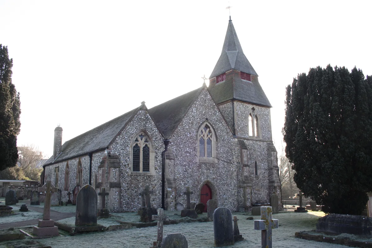
St Cosmas and St Damian Church, Keymer — church in Keymer, West Sussex, England, UK.
 📷 5
📷 5Historic churches · South East England
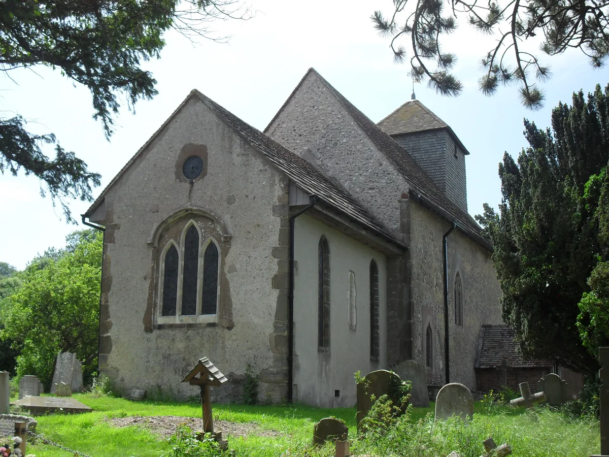
St John the Baptist's Church, Clayton
St John the Baptist's Church, Clayton — church in Mid Sussex, England, UK.
 📷 5
📷 5Museums · South East England
Clayton, West Sussex
Clayton is a small village and former civil parish, now in the parish of Hassocks, in the Mid Sussex district, in the county of West Sussex, England. It lies at the foot of the South Downs, 41 miles (
More towns in this region
 Flagship📷 10
Towns & cities · South East England
Aldermaston
Aldermaston — village and civil parish in West Berkshire in England, UK.
 Flagship📷 10
Towns & cities · South East England
Aldingbourne
Aldingbourne — village and civil parish in Arun, West Sussex, UK.
 Flagship📷 10
Towns & cities · South East England
Aldington
Aldington — village and civil parish in the Ashford District of Kent, England.
 Flagship📷 10
Towns & cities · South East England
Aldworth
Aldworth — village and civil parish in the English county of Berkshire.
Frequently asked questions
- Where is Hassocks?
- Hassocks is in West Sussex, South-East England, United Kingdom (postcode BN6), in the parish of Hassocks.
- Is Hassocks a protected site?
- Yes — Hassocks is part of the High Weald National Landscape (AONB).
- Is Hassocks free to visit?
- Yes, Hassocks is free to enter.
- How do I get to Hassocks?
- The nearest railway station is Hassocks, about 0.4 km away. Drivers can navigate to postcode BN6.