Towns & cities · West Midlands
Harrington
Harrington — village and civil parish in Northamptonshire, United Kingdom.

Wikimedia Commons contributors — see linked file page for photographer and licence licence
Plan your visit
- Typical visit
- 3 h–6 h
- Nearest railway station
- Market Harborough · 7.7 km
- Free entry
- Family-friendly
- Dog-friendly
About
Harrington is a town, city, village or settlement in the United Kingdom. Recent population estimates put it at around 145 people. Address: NN6. Wikidata describes it as: "village and civil parish in Northamptonshire, United Kingdom". Coordinates: 52.4170°, -0.8619°.
Photo gallery
From the Wikipedia article
Harrington is a village and civil parish in Northamptonshire, England, administered by North Northamptonshire council. At the time of the 2001 census, the parish's population was 154 people, including Thorpe Underwood but reducing to 146 at the 2011 Census. The Church of England parish church of St Peter and St Paul is located north-east of the village itself.
Excerpt from Wikipedia under CC BY-SA 4.0. See the source article linked in Sources below.
Background
History
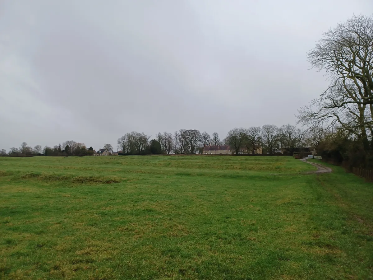
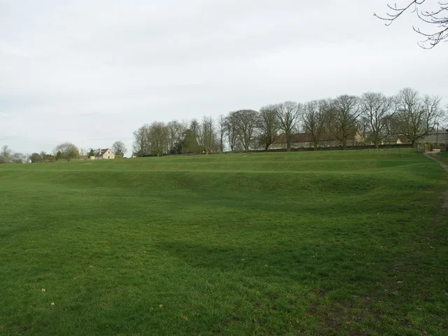
The villages name origin is uncertain. 'Farm/settlement connected with Heathuhere' or farm/settlement of the Heather dwellers'. After the dissolution of the monasteries, the Saunders family became lords of the manor of Harrington. In the 17th century the manor house passed by marriage to the Stanhope and then the Tollemache families until it was pulled down in 1745 by Lionel Tollemache, 4th Earl of Dysart. A stone pillar from one of the gateposts now stands in the middle of Desborough. The site of the manor house is called 'The Falls' with the 'Park' adjoining. The Falls contains the remains of terraces, fishponds and a sunken garden, which may have had a fountain. The fishponds were…
Sourced from Wikipedia under CC BY-SA 4.0.
- Coordinates
- 52.4170, -0.8619
- District
- North Northamptonshire
- Parish
- Harrington
- Postcode
- NN6
- Parliamentary constituency
- Kettering
- Population
- 145
- Nearest railway station
- Market Harborough — 7.7 km
Sources
- wikidata: Q1841067 (CC0)
- wikipedia: Harrington, Northamptonshire (CC BY-SA 4.0)
- commons: St. Peter and St. Paul Church at Harrington. - geograph.org.uk - 363432.jpg (CC BY-SA 4.0)
Other places nearby
Loading nearby places…
Nearby
 📷 3
📷 3Archaeological sites · West Midlands
Site of manor house
Site of manor house — archaeological site in Harrington, Northamptonshire, England, UK.
 📷 3
📷 3Manor houses · West Midlands
Site of Manor House (Earthworks)
Site of Manor House (Earthworks) — a manor in england-west-midlands, United Kingdom.
 📷 3
📷 3Museums · West Midlands
Harrington Aviation Museum
Harrington Aviation Museum — a museum in england-west-midlands, United Kingdom.
 📷 3
📷 3Stately homes · West Midlands
Arthingworth Manor
Arthingworth Manor — manor house in Arthingworth, Daventry, Northamptonshire, England, UK.
Campsites · West Midlands
S/T Nunnery Farm
S/T Nunnery Farm — a campsite in england west midlands.
 📷 5
📷 5Museums · West Midlands
RAF Harrington
RAF Harrington — a museum in england-west-midlands, United Kingdom.
More towns in this region
 Flagship📷 3
Towns & cities · West Midlands
Adderbury
Adderbury — village and civil parish in Cherwell district, Oxfordshire, England.
 Flagship📷 3
Towns & cities · West Midlands
Admington
Admington — village in Warwickshire, England, UK.
 Flagship📷 3
Towns & cities · West Midlands
Aldington
Aldington — village in Worcestershire, United Kingdom.
 Flagship📷 5
Towns & cities · West Midlands
Anstey
Anstey — large village in Leicestershire, England.
Frequently asked questions
- Where is Harrington?
- Harrington is in the West Midlands, United Kingdom (postcode NN6), in the parish of Harrington.
- Is Harrington free to visit?
- Yes, Harrington is free to enter.
- How do I get to Harrington?
- The nearest railway station is Market Harborough, about 7.7 km away. Drivers can navigate to postcode NN6.