Towns & cities · West Midlands
Harpole
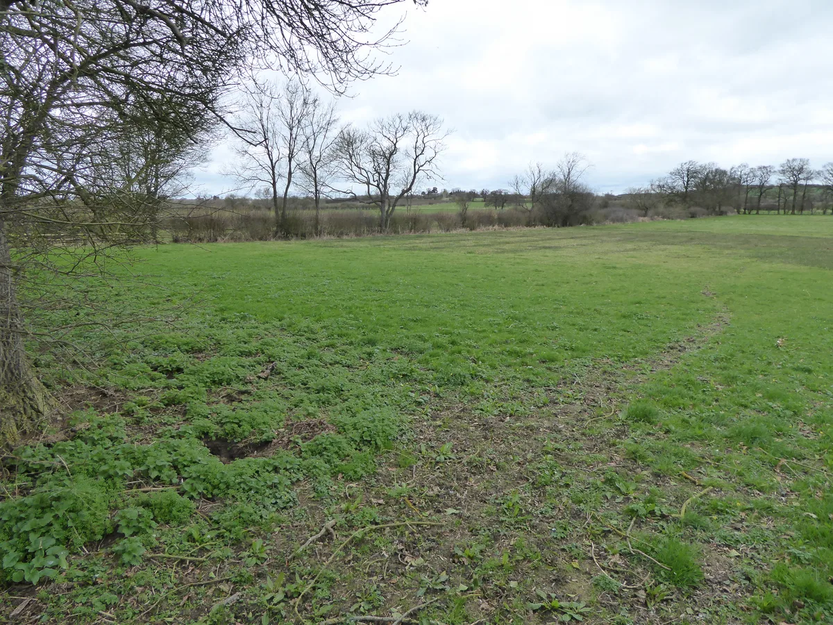
Harpole — village and civil parish in Northamptonshire, England, UK.

Wikimedia Commons contributors — see linked file page for photographer and licence licence
Plan your visit
- Typical visit
- 3 h–6 h
- Nearest railway station
- Northampton · 5.7 km
- Free entry
- Family-friendly
- Dog-friendly
About
Harpole is a town, city, village or settlement in the United Kingdom. It covers approximately 833 km². Recent population estimates put it at around 1,543 people. Address: NN7. Wikidata describes it as: "village and civil parish in Northamptonshire, England, UK". Coordinates: 52.2416°, -0.9908°.
Photo gallery
From the Wikipedia article
Harpole is a village and civil parish in West Northamptonshire, England. The village lies to the North of the A4500 road (formerly the A45), 4 miles (6.4 km) west of Northampton and 1 mile (1.6 km) northeast of junction 16 of the M1 motorway. At the 2011 Census, the civil parish had a population of 1,546.
Excerpt from Wikipedia under CC BY-SA 4.0. See the source article linked in Sources below.
Background
History
Evidence indicates that Neolithic, Bronze and Iron Age settlement occurred within the parish. Roman settlement is more certain with the area around Harpole being forming part of a wider Roman landscape dominated by villa estates. The former Roman road from Bannaventa to Duston passes to the north of the settlement on the rough alignment of the current Duston, Nobottle, Brington Road. A Roman mosaic floor uncovered in 1846-48 identifies the site of a Roman villa north of the village. It has the scheduled monument reference number of 1003901. Harpole is mentioned in the Domesday Book of 1086, with a recorded population of 27. The tenant in chief was William Peverel who held 2½ hides in…
Sourced from Wikipedia under CC BY-SA 4.0.
- Coordinates
- 52.2416, -0.9908
- District
- West Northamptonshire
- Parish
- Harpole
- Postcode
- NN7
- Parliamentary constituency
- South Northamptonshire
- Population
- 1,543
- Nearest railway station
- Northampton — 5.7 km
Sources
- wikidata: Q2041668 (CC0)
- wikipedia: Harpole (CC BY-SA 4.0)
- commons: Green, Harpole - geograph.org.uk - 200434.jpg (CC BY-SA 4.0)
Other places nearby
Loading nearby places…
Nearby
 📷 5
📷 5Follies · West Midlands
Roman temple at Harpole Roman villa
Roman temple at Harpole Roman villa — a temple folly in england-west-midlands, United Kingdom.
 📷 3
📷 3Historic churches · West Midlands
Church of St Luke
Church of St Luke — Grade I listed church in Kislingbury, Northamptonshire, England, UK.
 📷 3
📷 3Public art & sculpture · West Midlands
Tree of Hope
Tree of Hope — a public art in england-west-midlands, United Kingdom.
Vineyards · West Midlands
Glassthorpe
Glassthorpe — a UK vineyard in england west midlands, producing English or Welsh wine from cool-climate grape varieties.
 📷 3
📷 3Towns & cities · West Midlands
Upton
Upton — settlement and civil parish in West Northamptonshire, Northamptonshire, England.
 📷 5
📷 5Wildlife reserves · West Midlands
Bugbrooke Meadows
Bugbrooke Meadows — nature reserve in the United Kingdom.
More towns in this region
 Flagship📷 3
Towns & cities · West Midlands
Adderbury
Adderbury — village and civil parish in Cherwell district, Oxfordshire, England.
 Flagship📷 3
Towns & cities · West Midlands
Admington
Admington — village in Warwickshire, England, UK.
 Flagship📷 3
Towns & cities · West Midlands
Aldington
Aldington — village in Worcestershire, United Kingdom.
 Flagship📷 5
Towns & cities · West Midlands
Anstey
Anstey — large village in Leicestershire, England.
Frequently asked questions
- Where is Harpole?
- Harpole is in the West Midlands, United Kingdom (postcode NN7), in the parish of Harpole.
- Is Harpole free to visit?
- Yes, Harpole is free to enter.
- How do I get to Harpole?
- The nearest railway station is Northampton, about 5.7 km away. Drivers can navigate to postcode NN7.