Viewpoints · Scottish Lowlands
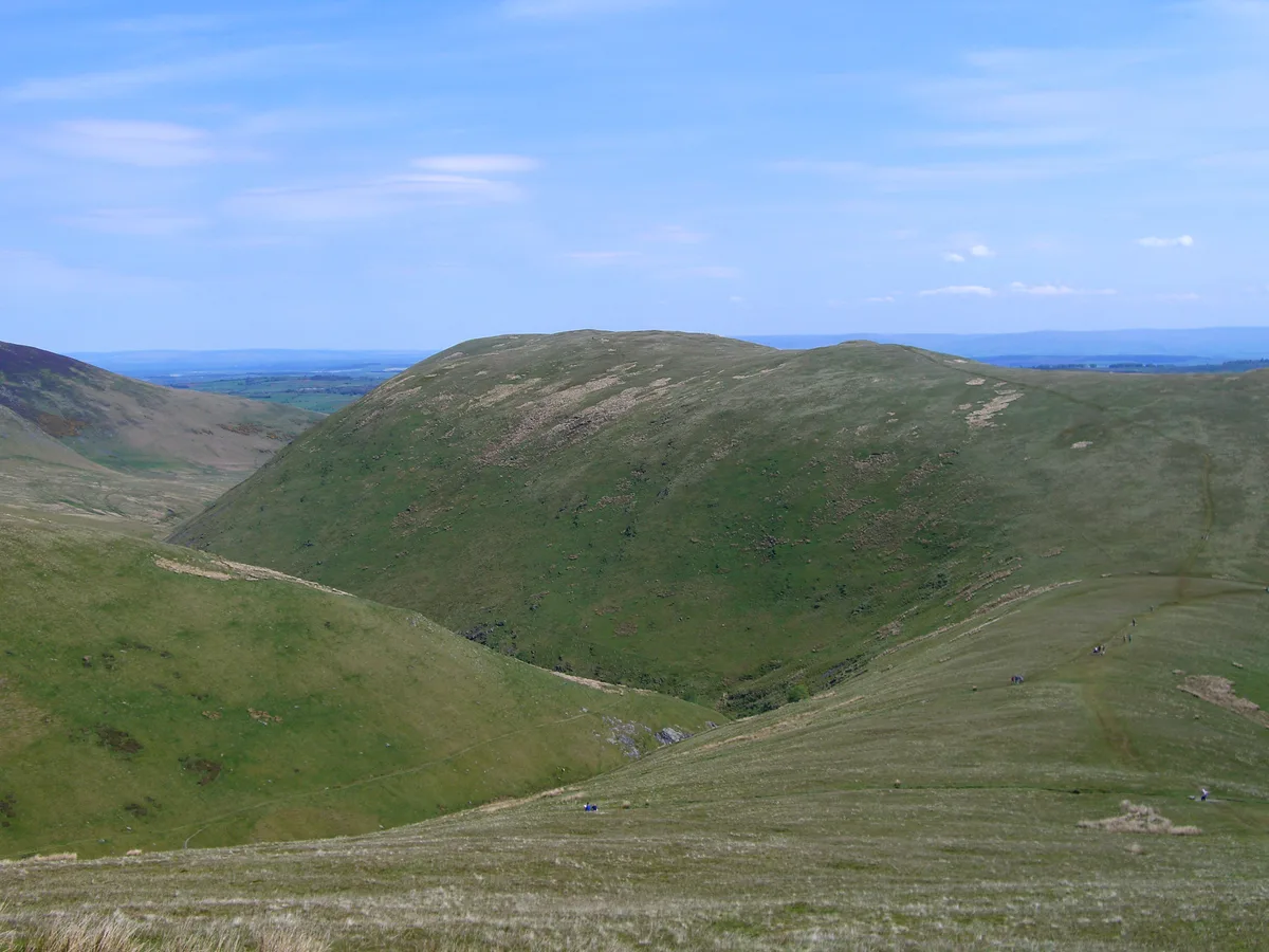
Hang gliding take off point
Hang gliding take off point is a viewpoint in the United Kingdom.

Karl and Ali — CC BY-SA 2.0 via Wikimedia Commons licence
Plan your visit
- Typical visit
- 20 min–45 min
- Best time of year
- Clear days year-round
- Nearest railway station
- Threlkeld Quarry Station · 5.9 km
- Free entry
- Dog-friendly
About
Hang gliding take off point is a named viewpoint in the Scottish Lowlands, marked on Ordnance Survey maps for its outlook. The site is a designated Site of Special Scientific Interest. It sits within the Westmorland and Lonsdale parliamentary constituency. The nearest railway station is Threlkeld Quarry Station, about 5.9 km away. Postcode area CA11.
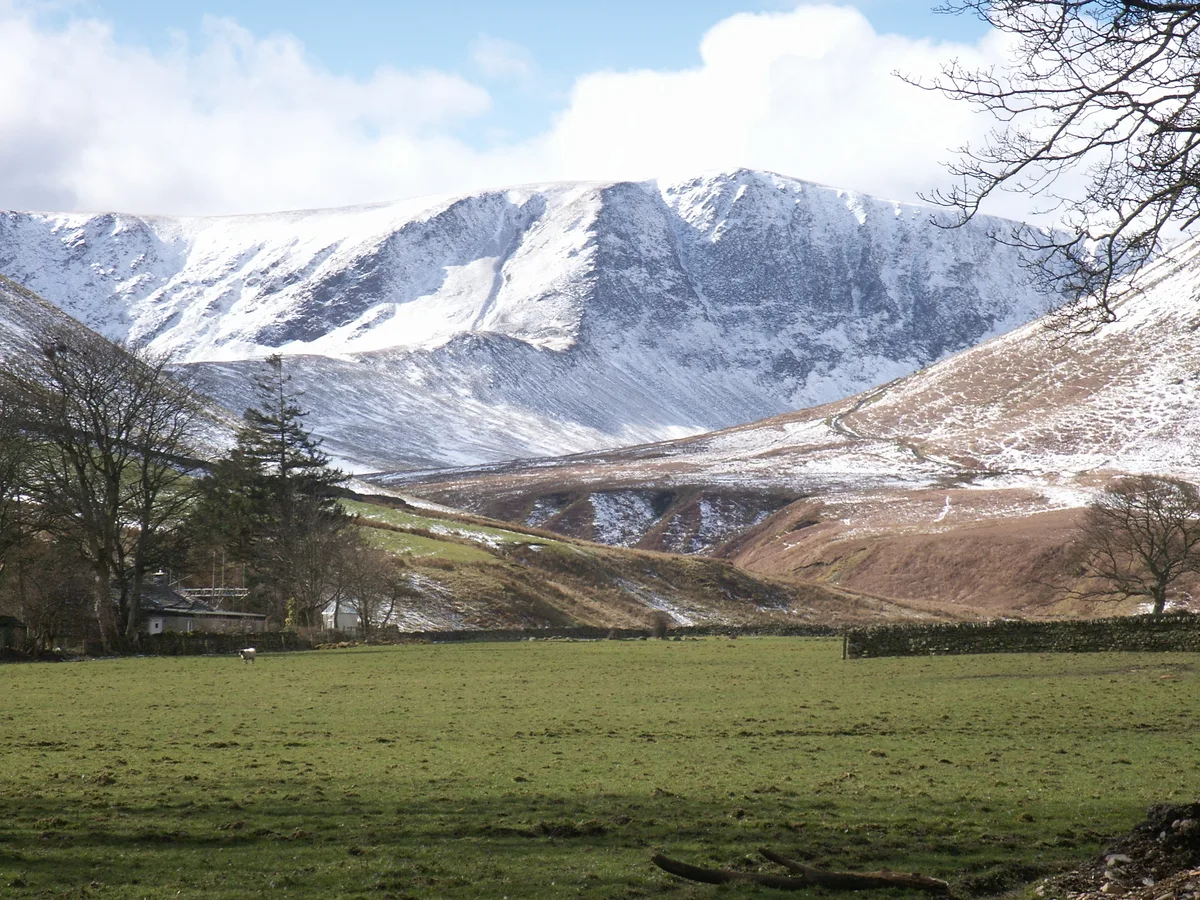
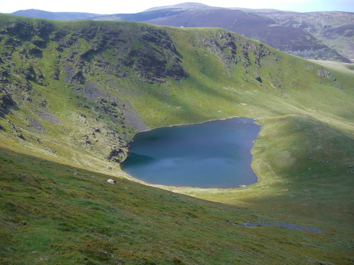
Photo gallery
Protected designations
- Site of Special Scientific Interest: Skiddaw Group SSSI
- Site of Special Scientific Interest: River Derwent and Tributaries SSSI
- Site of Special Scientific Interest: River Eden and Tributaries SSSI
Designations sourced from Natural England open data under OGL v3.
Place summary
The Hang gliding take off point is located in Mungrisdale, within the Scottish Lowlands. This viewpoint is part of several designated Sites of Special Scientific Interest (SSSIs), including the Skiddaw Group SSSI, River Derwent and Tributaries SSSI, and River Eden and Tributaries SSSI, highlighting its ecological significance.
AI-generated from the structured facts on this page (operator, designation, listing, era). Not a substitute for visiting.
- Coordinates
- 54.6565, -2.9979
- District
- Westmorland and Furness
- Parish
- Mungrisdale
- Postcode
- CA11 0TB
- Parliamentary constituency
- Westmorland and Lonsdale
- Nearest railway station
- Threlkeld Quarry Station — 5.9 km
Sources
- osm: n5014036071 (ODbL)
Other places nearby
Loading nearby places…
Nearby
 📷 3
📷 3Natural landmarks · Scottish Lowlands
Souther Fell
Souther Fell — mountain in United Kingdom.
 📷 3
📷 3Mountains & hills · Scottish Lowlands
Souther Fell
Souther Fell — Named summit at 522 m.
 📷 3
📷 3Public art & sculpture · Scottish Lowlands
Redmire Farm Folds
Redmire Farm Folds — a public art in scotland-lowlands, United Kingdom.
📷 3Public art & sculpture · Scottish Lowlands
Mungrisdale Field Boulder Fold
Mungrisdale Field Boulder Fold — a public art in scotland-lowlands, United Kingdom.
 📷 3
📷 3Mountains & hills · Scottish Lowlands
Bannerdale Crags (summit)
Bannerdale Crags (summit) — Named summit at 684.1 m.
 📷 3
📷 3Natural landmarks · Scottish Lowlands
Bowscale Fell
Bowscale Fell — mountain in United Kingdom.
More viewpoints in this region
 📷 5
📷 5Viewpoints · Scottish Lowlands
Bird hide
Bird hide is a viewpoint in the United Kingdom.
 📷 5
📷 5Viewpoints · Scottish Lowlands
Bird Hide
Bird Hide is a viewpoint in the United Kingdom.
 📷 5
📷 5Viewpoints · Scottish Lowlands
Bird Hide
Bird Hide is a viewpoint in the United Kingdom.
 📷 3
📷 3Viewpoints · Scottish Lowlands
Border Viewpoint
Border Viewpoint is a viewpoint in the United Kingdom.
Frequently asked questions
- Where is Hang gliding take off point?
- Hang gliding take off point is in the Scottish Lowlands, United Kingdom (postcode CA11 0TB), in the parish of Mungrisdale.
- Is Hang gliding take off point a protected site?
- Yes — Hang gliding take off point is part of the Skiddaw Group SSSI Site of Special Scientific Interest and the River Derwent and Tributaries SSSI Site of Special Scientific Interest.
- Is Hang gliding take off point free to visit?
- Yes, Hang gliding take off point is free to enter.
- How do I get to Hang gliding take off point?
- The nearest railway station is Threlkeld Quarry Station, about 5.9 km away. Drivers can navigate to postcode CA11 0TB.