Mountains & hills · Scottish Lowlands
Bannerdale Crags (summit)
Bannerdale Crags (summit) — Named summit at 684.1 m.

Wikimedia Commons contributors — see linked file page for photographer and licence licence
Plan your visit
- Typical visit
- 3 h–8 h
- Best time of year
- Late spring – early autumn (May–Oct)
- Nearest railway station
- Threlkeld Quarry Station · 4.6 km
- Free entry
- Dog-friendly
About
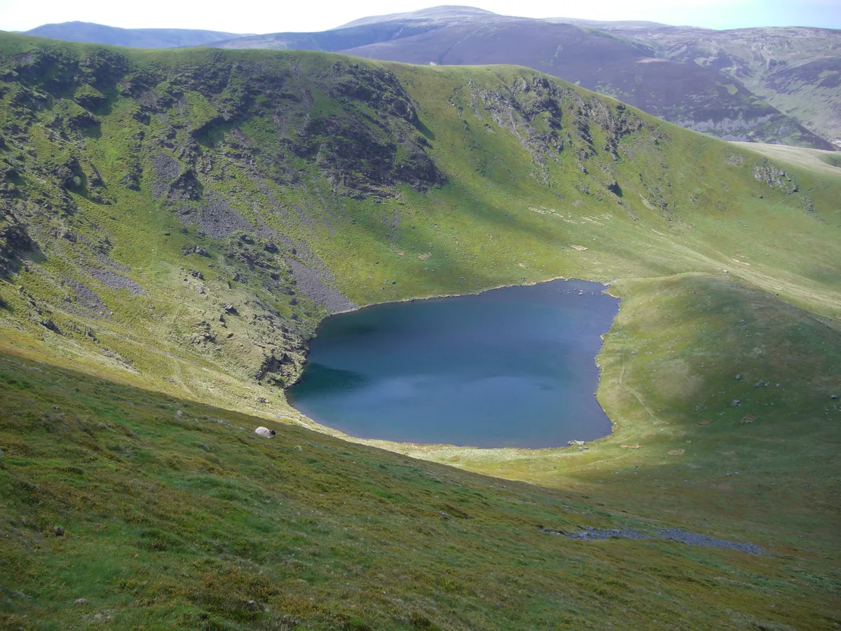
Bannerdale Crags (summit) is a named summit in the United Kingdom. Wikidata describes it as: "Named summit at 684.1 m.". Coordinates: 54.6520°, -3.0317°.
Photo gallery
Protected designations
- Site of Special Scientific Interest: Skiddaw Group SSSI
- Site of Special Scientific Interest: River Derwent and Tributaries SSSI
- Site of Special Scientific Interest: River Eden and Tributaries SSSI
Designations sourced from Natural England open data under OGL v3.
From the Wikipedia article
Bannerdale Crags is a fell in the English Lake District. It stands between Blencathra and Bowscale Fell in the Northern Fells.
Excerpt from Wikipedia under CC BY-SA 4.0. See the source article linked in Sources below.
- Coordinates
- 54.6520, -3.0317
- Address
- Cumbria, England
- Nearest railway station
- Threlkeld Quarry Station — 4.6 km
Sources
- osm: n29952587 (ODbL)
- wikipedia: Bannerdale Crags (CC BY-SA 4.0)
- commons: Bannerdale Crags.JPG (CC BY-SA 4.0)
Other places nearby
Loading nearby places…
Nearby
 📷 3
📷 3Natural landmarks · Scottish Lowlands
Bowscale Fell
Bowscale Fell — mountain in United Kingdom.
 📷 3
📷 3Mountains & hills · Scottish Lowlands
Bowscale Fell
Bowscale Fell — Named summit at 702 m.
 📷 5
📷 5Mountains & hills · Scottish Lowlands
Blencathra
Blencathra — Named summit at 867.8 m.
 📷 5
📷 5Natural landmarks · Scottish Lowlands
Blencathra
Blencathra — mountain in Cumbria, England, UK.
 📷 3
📷 3Mountains & hills · Scottish Lowlands
Souther Fell
Souther Fell — Named summit at 522 m.
 📷 3
📷 3Natural landmarks · Scottish Lowlands
Souther Fell
Souther Fell — mountain in United Kingdom.
More mountains in this region
 📷 3
📷 3Mountains & hills · Scottish Lowlands
Andrewhinney Hill
Andrewhinney Hill — Named summit at 677 m.
 📷 3
📷 3Mountains & hills · Scottish Lowlands
Arbory Hill
Arbory Hill — Named summit at 429 m.
 📷 3
📷 3Mountains & hills · Scottish Lowlands
Auchenton Hill ( East Mount Lowther)
Auchenton Hill ( East Mount Lowther) — Named summit at 631 m.
 📷 3
📷 3Mountains & hills · Scottish Lowlands
Bakestall
Bakestall — Named summit at 673.5 m.
Frequently asked questions
- Where is Bannerdale Crags (summit)?
- Bannerdale Crags (summit) is in the Scottish Lowlands, United Kingdom.
- Is Bannerdale Crags (summit) a protected site?
- Yes — Bannerdale Crags (summit) is part of the Skiddaw Group SSSI Site of Special Scientific Interest and the River Derwent and Tributaries SSSI Site of Special Scientific Interest.
- Is Bannerdale Crags (summit) free to visit?
- Yes, Bannerdale Crags (summit) is free to enter.
- How do I get to Bannerdale Crags (summit)?
- The nearest railway station is Threlkeld Quarry Station, about 4.6 km away.