Mountains & hills · South East England
Hambury Tout
Also known as: Nipple Hill
Hambury Tout — Named summit at 138 m.

Wikimedia Commons contributors — see linked file page for photographer and licence licence
Plan your visit
- Typical visit
- 3 h–8 h
- Best time of year
- Late spring – early autumn (May–Oct)
- Nearest railway station
- Wool · 7.2 km
- Free entry
- Dog-friendly
About
Hambury Tout is a named summit in the United Kingdom. Also known as: Nipple Hill. Wikidata describes it as: "Named summit at 138 m.". Coordinates: 50.6220°, -2.2617°.
Photo gallery
Protected designations
- Site of Special Scientific Interest: South Dorset Coast SSSI
- Area of Outstanding Natural Beauty: Dorset
Designations sourced from Natural England open data under OGL v3.
From the Wikipedia article
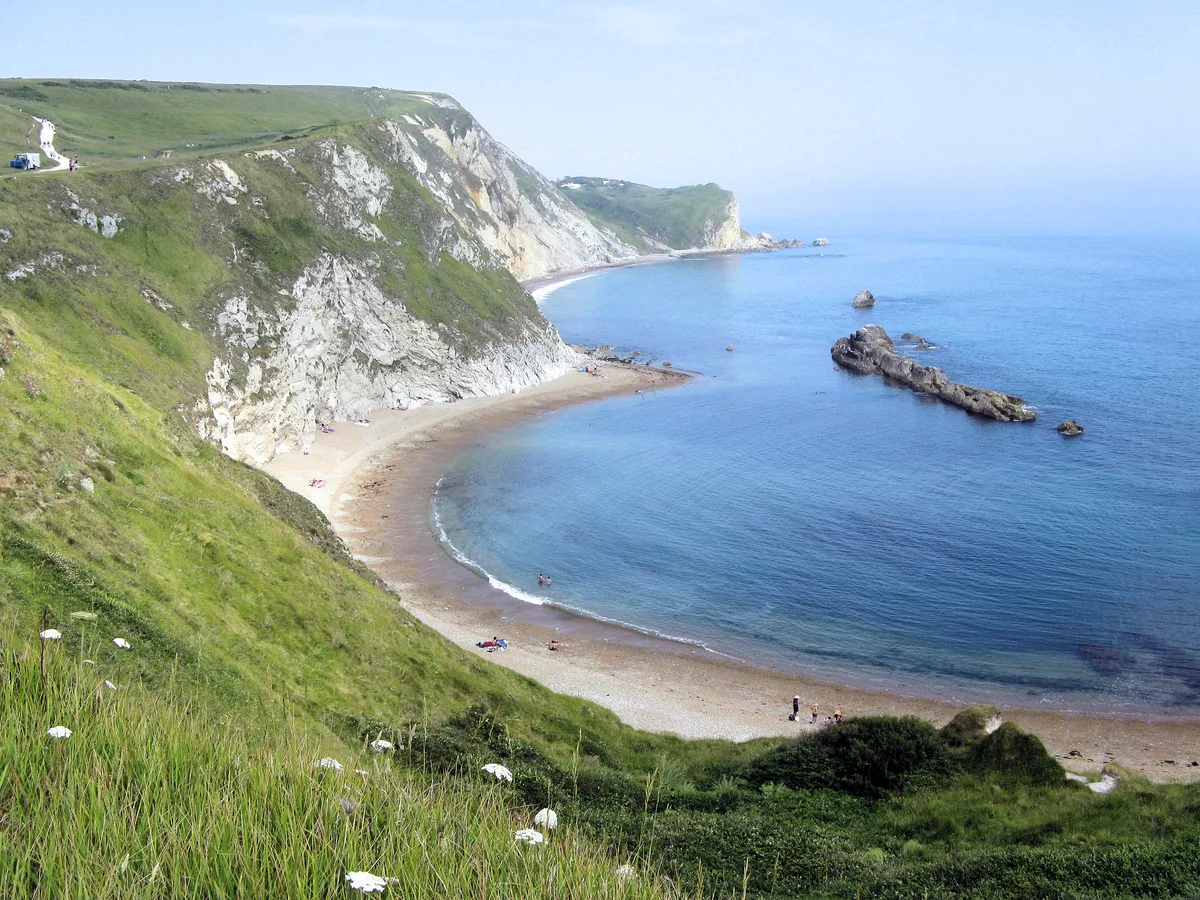
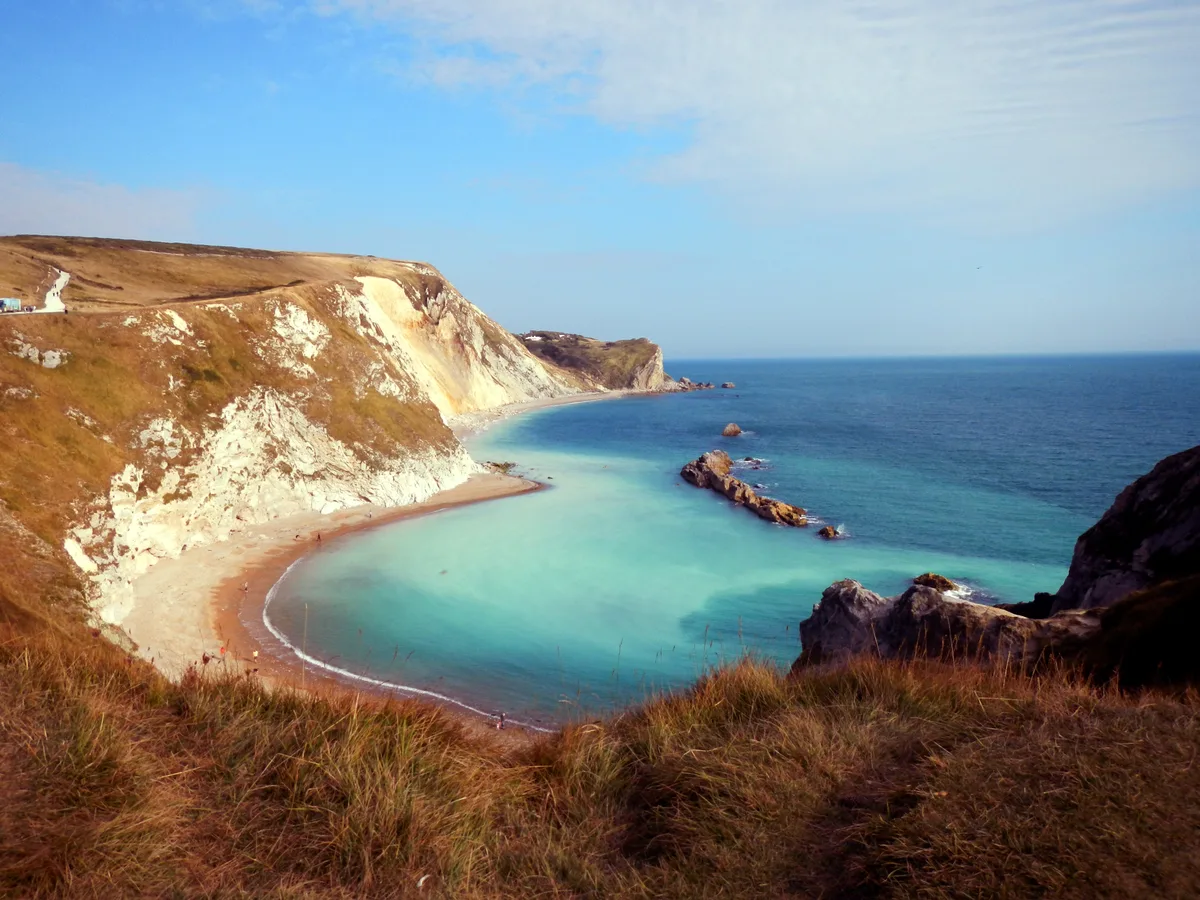
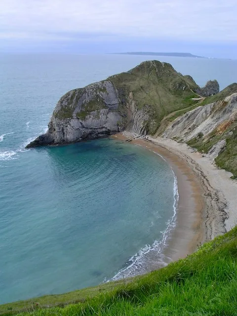
Hambury Tout is a large chalk hill by the coast near Lulworth, Dorset, England. It overlooks Lulworth Cove to the west. Hambury Tout is the site of an ancient burial mound.
Excerpt from Wikipedia under CC BY-SA 4.0. See the source article linked in Sources below.
- Coordinates
- 50.6220, -2.2617
- District
- Dorset
- Parish
- West Lulworth
- Postcode
- BH20 5RS
- Parliamentary constituency
- South Dorset
- Nearest railway station
- Wool — 7.2 km
Sources
- osm: n1319418859 (ODbL)
- wikipedia: Hambury Tout (CC BY-SA 4.0)
- commons: Hambury Tout from hills above Lulworth Cove - geograph.org.uk - 432348.jpg (CC BY-SA 4.0)
Other places nearby
Loading nearby places…
Nearby
 📷 5
📷 5Mountains & hills · South East England
St Oswald's Bay
St Oswald's Bay — bay in Dorset, United Kingdom.
 📷 5
📷 5Mountains & hills · South East England
Man of War Bay
Man of War Bay — bay on the Dorset coast in southern England.
 📷 5
📷 5Beaches · South East England
Man O'War Beach
Man O'War Beach — beach in the United Kingdom.
Caravan parks · South East England
Durdle Door Holiday Park
Durdle Door Holiday Park — a caravan park in england south east.
 📷 5
📷 5Natural landmarks · South East England
Stair Hole
Stair Hole — a other in england-south-east, United Kingdom.
 📷 5
📷 5Beaches · South East England
Man O' War Cove
Man O' War Cove is a beach in the United Kingdom.
More mountains in this region
 📷 5
📷 5Mountains & hills · South East England
Alum Bay
Alum Bay is a mountain or hill in the United Kingdom.
 📷 5
📷 5Mountains & hills · South East England
Arish Mell
Arish Mell — bay in Dorset, England.
 📷 5
📷 5Mountains & hills · South East England
Balaclava Bay
Balaclava Bay — bay in Dorset, England.
 📷 5
📷 5Mountains & hills · South East England
Balch Cave
Balch Cave — Cave in Somerset, England.
Frequently asked questions
- Where is Hambury Tout?
- Hambury Tout is in South-East England, United Kingdom (postcode BH20 5RS), in the parish of West Lulworth.
- Is Hambury Tout a protected site?
- Yes — Hambury Tout is part of the South Dorset Coast SSSI Site of Special Scientific Interest and the Dorset National Landscape (AONB).
- Is Hambury Tout free to visit?
- Yes, Hambury Tout is free to enter.
- How do I get to Hambury Tout?
- The nearest railway station is Wool, about 7.2 km away. Drivers can navigate to postcode BH20 5RS.