Mountains & hills · Central Scotland
Halidon Hill
Halidon Hill — Named summit at 164 m.

Wikimedia Commons contributors — see linked file page for photographer and licence licence
Plan your visit
- Typical visit
- 3 h–8 h
- Best time of year
- Late spring – early autumn (May–Oct)
- Nearest railway station
- Berwick-upon-Tweed · 2.9 km
- Free entry
- Dog-friendly
About
Halidon Hill is a named summit in the United Kingdom. Wikidata describes it as: "Named summit at 164 m.". Coordinates: 55.7869°, -2.0514°.
Photo gallery
From the Wikipedia article
Halidon Hill is a summit, about 2 miles (3 km) west of the centre of Berwick-upon-Tweed, on the border of England and Scotland. It reaches 600 feet (180 m) high. The name of the hill indicates that it once had a fortification on its top. It is bounded by the A6105 road on its south and the A1 road to the northeast.
Excerpt from Wikipedia under CC BY-SA 4.0. See the source article linked in Sources below.
Background
History
At the Battle of Halidon Hill in 1333, Edward III of England used longbowmen on the heights of the hill to defeat the Scottish army led by Archibald the "Tyneman" Douglas, Regent of Scotland. An English army camped at Halidon Hill on 27 March 1560. The soldiers were sent into Scotland to help at the siege of Leith during the Scottish Reformation. Mary, Queen of Scots, came to Halidon Hill to view Berwick on 15 November 1566 and met John Forster, Marshal of Berwick. Unfortunately, Forster's horse kicked her and she had to rest for two days at Dunglass on her way to Edinburgh. When James VI visited Halidon Hill on 27 April 1588 there was a cannon salute and he spoke with members of the…
Sourced from Wikipedia under CC BY-SA 4.0.
- Coordinates
- 55.7869, -2.0514
- District
- Northumberland
- Parish
- Berwick-upon-Tweed
- Postcode
- TD15 1UE
- Parliamentary constituency
- North Northumberland
- Nearest railway station
- Berwick-upon-Tweed — 2.9 km
Sources
- osm: n316938447 (ODbL)
- wikipedia: Halidon Hill (CC BY-SA 4.0)
- commons: Halidon Hill battle site - geograph.org.uk - 635309.jpg (CC BY-SA 4.0)
Other places nearby
Loading nearby places…
Nearby
Vineyards · Central Scotland
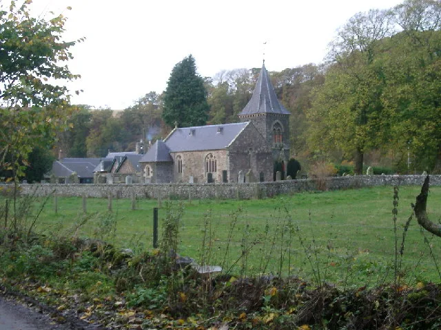
Halidon Hill settlement
Halidon Hill settlement — a UK vineyard in scotland central, producing English or Welsh wine from cool-climate grape varieties.
Vineyards · Central Scotland
Camphill settlement
Camphill settlement — a UK vineyard in scotland central, producing English or Welsh wine from cool-climate grape varieties.
Vineyards · Central Scotland
Conundrum South
Conundrum South — a UK vineyard in scotland central, producing English or Welsh wine from cool-climate grape varieties.
Vineyards · Central Scotland
High Letham South
High Letham South — a UK vineyard in scotland central, producing English or Welsh wine from cool-climate grape varieties.
Vineyards · Central Scotland
White Damhead
White Damhead — a UK vineyard in scotland central, producing English or Welsh wine from cool-climate grape varieties.
Vineyards · Central Scotland
Baldersbury Hill
Baldersbury Hill — a UK vineyard in scotland central, producing English or Welsh wine from cool-climate grape varieties.
More mountains in this region
 📷 3
📷 3Mountains & hills · Central Scotland
Abbey Hill
Abbey Hill — Named summit at 278 m.
 📷 3
📷 3Mountains & hills · Central Scotland
Aberlady Bay
Aberlady Bay — bay on the north coast of East Lothian, Scotland, UK.
 📷 3
📷 3Mountains & hills · Central Scotland
Allermuir Hill
Allermuir Hill — Named summit at 493 m.
 📷 3
📷 3Mountains & hills · Central Scotland
Ardnandave
Ardnandave — Named summit at 715 m.
Frequently asked questions
- Where is Halidon Hill?
- Halidon Hill is in central Scotland, United Kingdom (postcode TD15 1UE), in the parish of Berwick-upon-Tweed.
- Who owns Halidon Hill?
- Halidon Hill is owned by | designation =.
- Is Halidon Hill free to visit?
- Yes, Halidon Hill is free to enter.
- How do I get to Halidon Hill?
- The nearest railway station is Berwick-upon-Tweed, about 2.9 km away. Drivers can navigate to postcode TD15 1UE.