Mountains & hills · Central Scotland
Abbey Hill
Also known as: Abaid Bhaoithin
Abbey Hill — Named summit at 278 m.

Wikimedia Commons contributors — see linked file page for photographer and licence licence
Plan your visit
- Typical visit
- 3 h–8 h
- Best time of year
- Late spring – early autumn (May–Oct)
- Free entry
- Dog-friendly
About
Abbey Hill is a named summit in the United Kingdom. Wikidata describes it as: "Named summit at 278 m.". Coordinates: 55.8442°, -2.3904°.
Photo gallery
From the Wikipedia article
Abbey St Bathans (Scottish Gaelic: Abaid Bhaoithin) is a parish in the Lammermuir district of Berwickshire, in the eastern part of the Scottish Borders. Unique in its topography, it is situated in a long winding steep wooded valley that follows the Whiteadder Water. The parish had a population of 106 at the 2011 Census.
Excerpt from Wikipedia under CC BY-SA 4.0. See the source article linked in Sources below.
Background
History
Abbey St Bathans was originally a priory of Cistercian Nuns established in the 12th century. It was sanctified and then used as a retreat by the sisters who formed the community at Haddington and at Nunraw, under the patronage of Ada, Countess of Dunbar and her husband Patrick, Earl of Dunbar. Though the original location of the monastic accommodation is unknown today, there is a stone on one side of the glen known as the Abbey Stone. While there are no religious houses in the village today, there is a small church in the square. A clergyman is shared with nearby hamlet of Longformacus. The dedication is to St. Bathan Baithéne mac Brénaind the second abbot of Iona. While there is no priory…
Description
Abbey St Bathans village is situated beside the Whiteadder Water. The village is centred around the Kirk, a footbridge (known locally as the 'Gurkha bridge' after the Gurkha Soldiers that built it in 1987), sheep sheds, a post box, telephone exchange, phone box and housing. Further up the valley north of the Kirk is the village hall which holds regular events and occasional exhibitions. Downriver, south of the Kirk can be found a fish farm, car park, café and small sawmill. The Southern Upland Way and the Sir Walter Scott Way pass through the village. There are several footpaths for walkers including to the nearby Edins Hall Broch and Cockburn Law hill. The village is also on a bicycling…
Sourced from Wikipedia under CC BY-SA 4.0.
- Coordinates
- 55.8442, -2.3904
- District
- Scottish Borders
- Postcode
- TD11 3TX
- Parliamentary constituency
- Berwickshire, Roxburgh and Selkirk
Sources
- osm: n429822892 (ODbL)
- wikipedia: Abbey St Bathans (CC BY-SA 4.0)
- commons: Abbey St Bathans Kirk.jpg (CC BY-SA 4.0)
Other places nearby
Loading nearby places…
Nearby
 📷 3
📷 3Archaeological sites · Central Scotland
St Bathans Chapel (Site of)
St Bathans Chapel (Site of) — a archaeological in scotland-central, United Kingdom.
 📷 5
📷 5Historic churches · Central Scotland
Abbey St Bathans Church
Abbey St Bathans Church — category B listed building-listed church in scotland-central, United Kingdom.
Vineyards · Central Scotland
Shannabank Hill
Shannabank Hill — a UK vineyard in scotland central, producing English or Welsh wine from cool-climate grape varieties.
Vineyards · Central Scotland
Cockburn Law
Cockburn Law — a UK vineyard in scotland central, producing English or Welsh wine from cool-climate grape varieties.
 📷 5
📷 5Historic houses · North East England
Edin's Hall Broch
Edin's Hall Broch in England North East, United Kingdom.
Vineyards · Central Scotland
Edin's Hall hillfort
Edin's Hall hillfort — a UK vineyard in scotland central, producing English or Welsh wine from cool-climate grape varieties.
More mountains in this region
 📷 3
📷 3Mountains & hills · Central Scotland
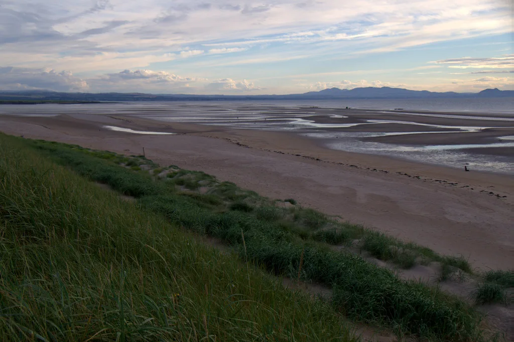
Aberlady Bay
Aberlady Bay — bay on the north coast of East Lothian, Scotland, UK.
 📷 3
📷 3Mountains & hills · Central Scotland
Allermuir Hill
Allermuir Hill — Named summit at 493 m.
 📷 3
📷 3Mountains & hills · Central Scotland
Ardnandave
Ardnandave — Named summit at 715 m.
 📷 3
📷 3Mountains & hills · Central Scotland
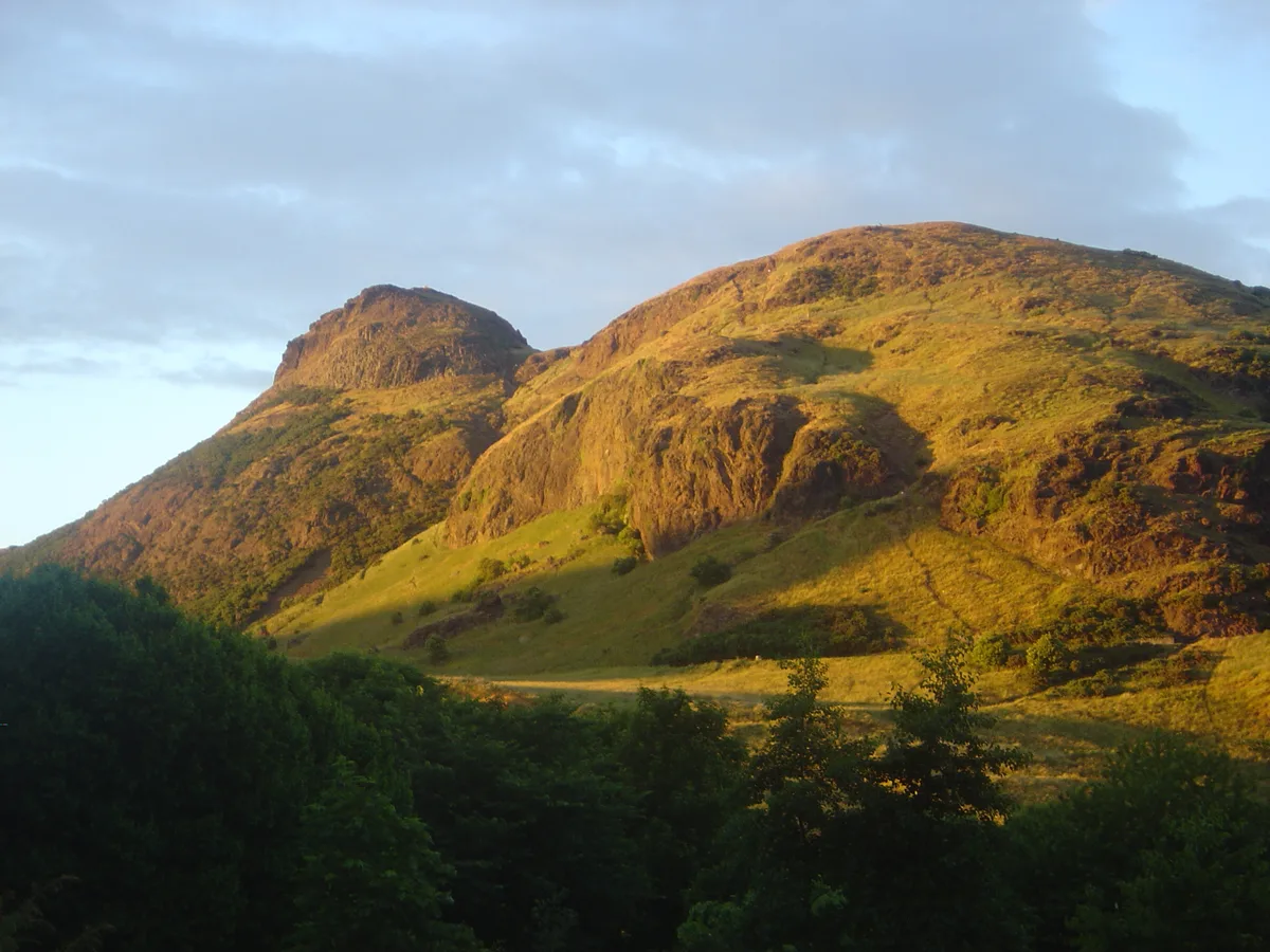
Arthur's Seat
Arthur's Seat — Named summit at 251 m.
Frequently asked questions
- Where is Abbey Hill?
- Abbey Hill is in central Scotland, United Kingdom (postcode TD11 3TX).
- Is Abbey Hill free to visit?
- Yes, Abbey Hill is free to enter.
- How do I get to Abbey Hill?
- Drivers can navigate to postcode TD11 3TX. It sits within the Berwickshire, Roxburgh and Selkirk parliamentary constituency.