Mountains & hills · North Wales
Gyrn
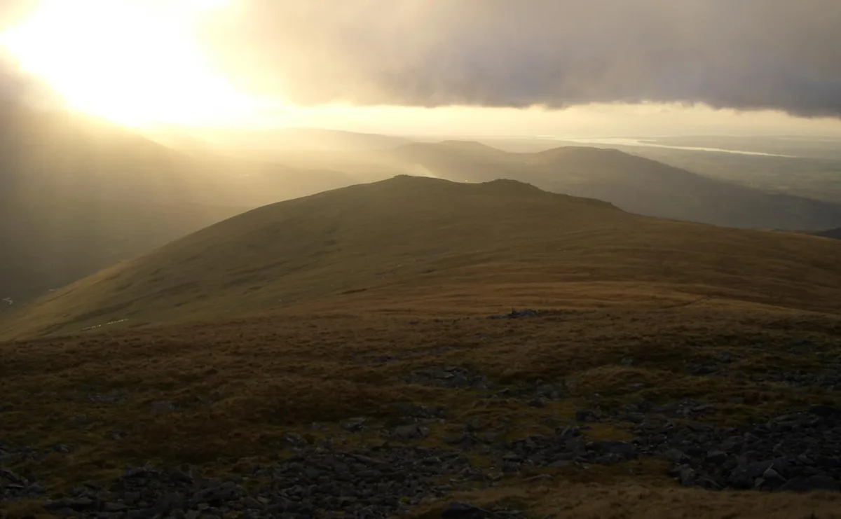
Gyrn — Named summit at 542 m.

Wikimedia Commons contributors — see linked file page for photographer and licence licence
Plan your visit
- Typical visit
- 3 h–8 h
- Best time of year
- Late spring – early autumn (May–Oct)
- Nearest railway station
- Llanfairfechan · 7.1 km
- Free entry
- Dog-friendly
About
Gyrn is a named summit in the United Kingdom. Wikidata describes it as: "Named summit at 542 m.". Coordinates: 53.1990°, -4.0263°.
Photo gallery
Place summary
Gyrn is a mountain located in North Wales, within the parish of Llanllechid. It is part of the Snowdonia National Park, known for its rugged terrain and scenic views.
AI-generated from the structured facts on this page (operator, designation, listing, era). Not a substitute for visiting.
- Coordinates
- 53.1990, -4.0263
- District
- Gwynedd
- Parish
- Llanllechid
- Postcode
- LL57 3LG
- Parliamentary constituency
- Bangor Aberconwy
- Nearest railway station
- Llanfairfechan — 7.1 km
Sources
- osm: n254474767 (ODbL)
- commons: View across the incised Afon Ffrydlas towards Gyrn - geograph.org.uk - 430888.jpg (CC BY-SA 4.0)
Other places nearby
Loading nearby places…
Nearby
 📷 3
📷 3Archaeological sites · North Wales
Twll Pant-hiriol Hut Circle
Twll Pant-hiriol Hut Circle — a archaeological in wales-north, United Kingdom.
 📷 3
📷 3Mountains & hills · North Wales
Moel Wnion
Moel Wnion — a mountain in wales-north, United Kingdom, 580 m.
 📷 3
📷 3Mountains & hills · North Wales
Gyrn Wigau
Gyrn Wigau — Named summit at 615 m.
Archaeological sites · North Wales
Carreg Saethau
Carreg Saethau — a archaeological in wales-north, United Kingdom.
Mountains & hills · North Wales
Moel Faban
Moel Faban — a mountain in wales-north, United Kingdom, 409 m.
 📷 3
📷 3Quarries · North Wales
Bryn quarry
Bryn quarry — Bryn Hall quarry is an old flooded slate quarry near Llanllechid.
More mountains in this region
 📷 5
📷 5Mountains & hills · North Wales
Cemlyn Bay and lagoon
Cemlyn Bay and lagoon — Site of Special Scientific Interest in Wales.
 📷 3
📷 3Mountains & hills · North Wales
Aberffraw Bay
Aberffraw Bay — bay on the west coast of Anglesey, in Wales, UK.
 📷 3
📷 3Mountains & hills · North Wales
Allt-fawr
Allt-fawr — Named summit at 698 m.
 📷 3
📷 3Mountains & hills · North Wales
Aran Benllyn
Aran Benllyn — Named summit at 884 m.
Frequently asked questions
- Where is Gyrn?
- Gyrn is in North Wales, United Kingdom (postcode LL57 3LG), in the parish of Llanllechid.
- Is Gyrn free to visit?
- Yes, Gyrn is free to enter.
- How do I get to Gyrn?
- The nearest railway station is Llanfairfechan, about 7.1 km away. Drivers can navigate to postcode LL57 3LG.