Archaeological sites · South East England
Grim's Ditch; portion from Mongewell Park Lodge to S of Nuffield church
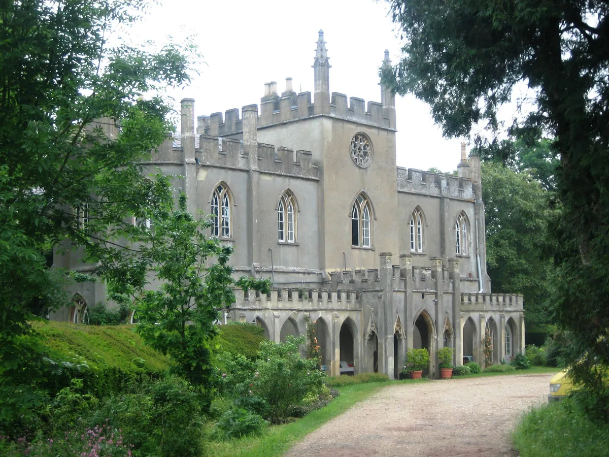
Grim's Ditch; portion from Mongewell Park Lodge to S of Nuffield church — archaeological site in Nuffield, South Oxfordshire, England, UK.

Wikimedia Commons contributors — see linked file page for photographer and licence licence
Plan your visit
- Typical visit
- 45 min–1.5 h
- Nearest railway station
- Wallingford · 4.6 km
- Free entry
- Dog-friendly
About
Grim's Ditch; portion from Mongewell Park Lodge to S of Nuffield church is a place of interest in Oxfordshire, South-East England. Officially recognised as scheduled monument. The site is within the Chilterns National Landscape (AONB). It sits within the Henley and Thame parliamentary constituency. The nearest railway station is Wallingford, about 4.6 km away. Postcode area OX10.
Photo gallery
Protected designations
- Area of Outstanding Natural Beauty: Chilterns
- Area of Outstanding Natural Beauty: North Wessex Downs
Designations sourced from Natural England open data under OGL v3.
Place summary
Grim's Ditch is an archaeological site located in South-East England, specifically in Ipsden, Oxfordshire. This scheduled monument features a portion extending from Mongewell Park Lodge to the south of Nuffield church. It lies within the Areas of Outstanding Natural Beauty of the Chilterns and North Wessex Downs.
AI-generated from the structured facts on this page (operator, designation, listing, era). Not a substitute for visiting.
- Coordinates
- 51.5825, -1.0739
- County
- Oxfordshire
- District
- South Oxfordshire
- Parish
- Ipsden
- Postcode
- OX10 6PT
- Parliamentary constituency
- Henley and Thame
- Nearest railway station
- Wallingford — 4.6 km
Sources
- wikidata: Q17642857 (CC0)
- commons: Grim's Ditch between Mongewell and Nuffield 05.jpg (CC BY-SA 4.0)
Other places nearby
Loading nearby places…
Nearby
 📷 5
📷 5Memorials & monuments · South East England
Crashed Bomber Monumemt
Crashed Bomber Monumemt is a memorial in the United Kingdom.
Campsites · South East England
Ridgeway View Campsite
Ridgeway View Campsite — a campsite in england south east.
 Flagship📷 10
Towns & cities · South East England
Ipsden
Ipsden — village and civil parish in South Oxfordshire, England.
Mountain bike trails · South East England
Judges' Ride
Judges' Ride — a mtb trail in england south east.
 📷 5
📷 5Forests & woodlands · South East England
Warren Bank
Warren Bank is a forest or woodland in the United Kingdom.
 📷 5
📷 5Memorials & monuments · South East England
Ipsden War Memorial
Ipsden War Memorial — a memorial in england-south-east, United Kingdom.
More archaeological sites in this region
 Flagship📷 6
Archaeological sites · South East England
America Wood
America Wood — biological Site of Special Scientific Interest on the Isle of Wight.
 Flagship📷 10
Archaeological sites · South East England
Bisham Woods
Bisham Woods — woodland in Berkshire, England.
 Flagship📷 10
Archaeological sites · South East England
Savernake Forest
Savernake Forest — 4500 acre forest in Wiltshire, England.
 📷 5
📷 5Archaeological sites · South East England
A quadrangular castle and its landscaped setting, an associated millpond, medieval crofts and cultivation earthworks, and a World War II pillbox at Bodiam
A quadrangular castle and its landscaped setting, an associated millpond, medieval crofts and cultivation earthworks, and a World War II pillbox at Bodiam — archaeological site in Bodiam, Rother, England, UK.
Frequently asked questions
- Where is Grim's Ditch; portion from Mongewell Park Lodge to S of Nuffield church?
- Grim's Ditch; portion from Mongewell Park Lodge to S of Nuffield church is in Oxfordshire, South-East England, United Kingdom (postcode OX10 6PT), in the parish of Ipsden.
- Is Grim's Ditch; portion from Mongewell Park Lodge to S of Nuffield church a listed building?
- Grim's Ditch; portion from Mongewell Park Lodge to S of Nuffield church is officially recognised as scheduled monument listed.
- Is Grim's Ditch; portion from Mongewell Park Lodge to S of Nuffield church a protected site?
- Yes — Grim's Ditch; portion from Mongewell Park Lodge to S of Nuffield church is part of the Chilterns National Landscape (AONB) and the North Wessex Downs National Landscape (AONB).
- How do I get to Grim's Ditch; portion from Mongewell Park Lodge to S of Nuffield church?
- The nearest railway station is Wallingford, about 4.6 km away. Drivers can navigate to postcode OX10 6PT.