Archaeological sites · East of England
Grime's Graves
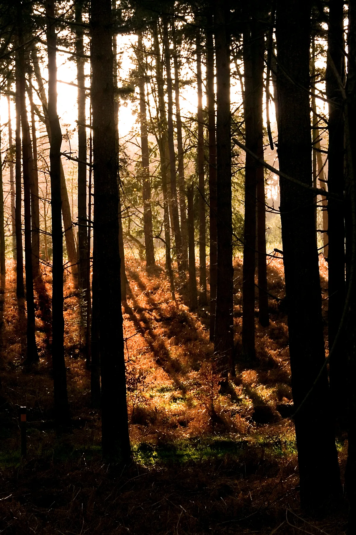
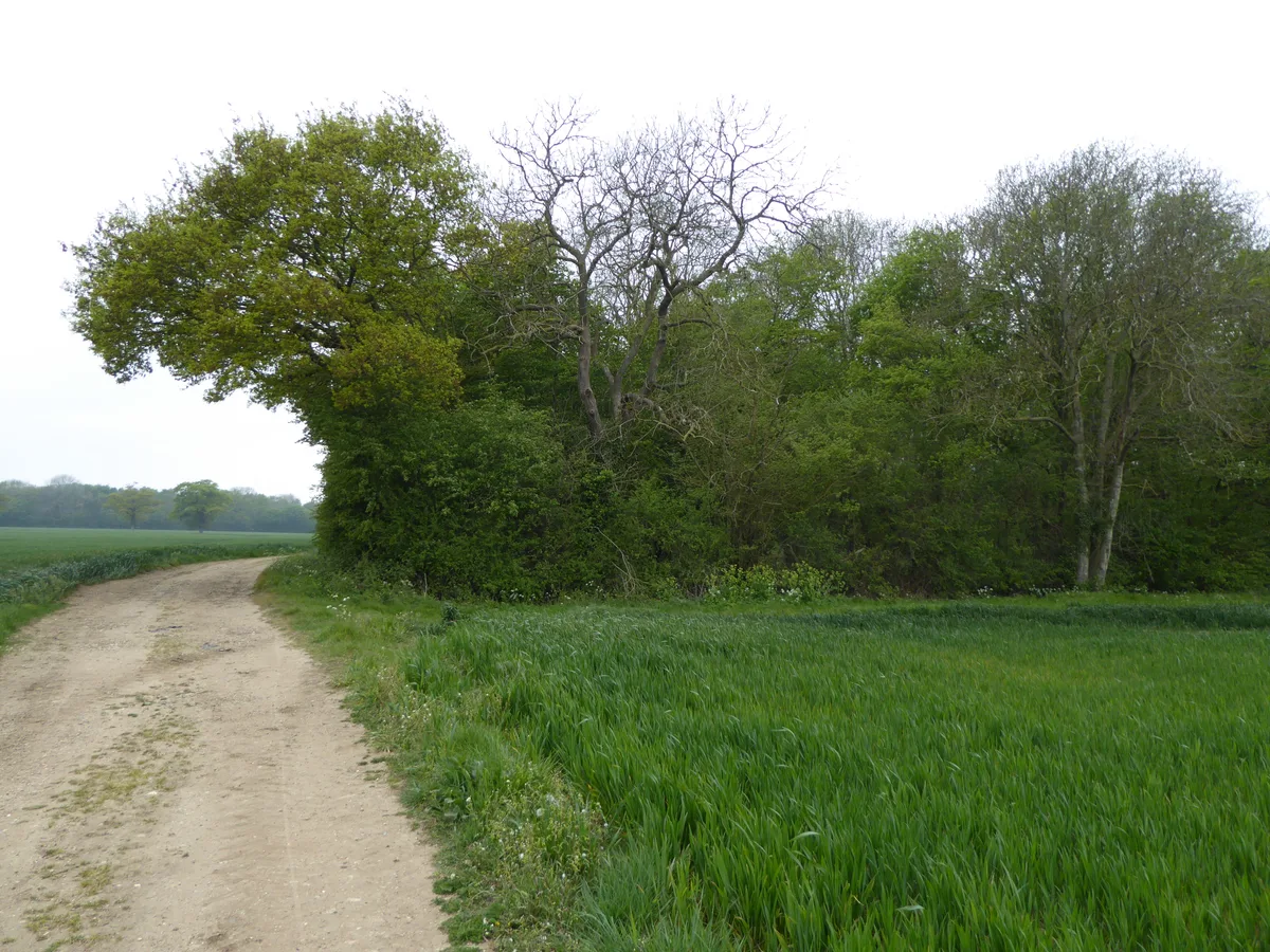
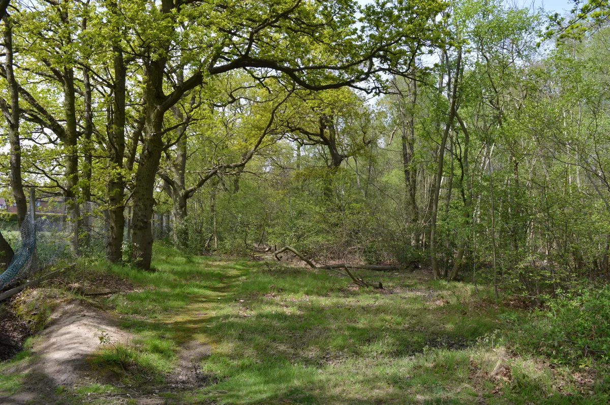
Grime's Graves is a large Neolithic flint mining complex in Norfolk, England. It lies 8 km (5.0 mi) north east from Brandon, Suffolk in the East of England. It was worked between c. 2600 and c. 2300 B

Jon Wilson-Bright — CC BY-SA 2.0 via Wikimedia Commons licence
Plan your visit
- Typical visit
- 45 min–1.5 h
- Free entry
- Dog-friendly
About
Grime's Graves is a large Neolithic flint mining complex in Norfolk, England. It lies 8 km (5.0 mi) north east from Brandon, Suffolk in the East of England. It was worked between c. 2600 and c. 2300 BC, although production may have continued through the Bronze and Iron Ages and later, owing to the low cost of flint compared with metals. Flint was much in demand for making polished stone axes in the Neolithic period. Much later, when flint had been replaced by metal tools, flint nodules were in demand for other uses, such as for building and as strikers for muskets. Grime's Graves was first extensively explored by the 19th-century archaeologist William Greenwell. The scheduled monument extends over an area of some 37 ha (91 acres) and consists of at least 433 shafts dug into the natural chalk to reach seams of flint. The largest shafts are more than 14 m (46 ft) deep and 12 m (39 ft) in diameter at the surface. It has been calculated that more than 2,000 tonnes of chalk had to be removed from the larger shafts, taking 20 men around five months, before stone of sufficient quality was reached. An upper 'topstone' and middle 'wallstone' seam of flint was dug through on the way to the deeper third 'floorstone' seam which most interested the miners. The site is managed by English Heritage and can be visited. The site is also a biological and geological Site of Special Scientific Interest and a Geological Conservation Review site. It is part of the Breckland Special Area of…
Photo gallery
From the Wikipedia article
Grime's Graves is a large Neolithic flint mining complex in Norfolk, England. It lies 8 km (5.0 mi) north east from Brandon, Suffolk in the East of England. It was worked between c. 2600 and c. 2300 BC, although production may have continued through the Bronze and Iron Ages and later, owing to the low cost of flint compared with metals. Flint was much in demand for making polished stone axes in the Neolithic period. Much later, when flint had been replaced by metal tools, flint nodules were in demand for other uses, such as for building and as strikers for muskets. Grime's Graves was first extensively explored by the 19th-century archaeologist William Greenwell. The scheduled monument extends over an area of some 37 ha (91 acres) and consists of at least 433 shafts dug into the natural chalk to reach seams of flint. The largest shafts are more than 14 m (46 ft) deep and 12 m (39 ft) in diameter at the surface. It has been calculated that more than 2,000 tonnes of chalk had to be removed from the larger shafts, taking 20 men around five months, before stone of sufficient quality was reached. An upper 'topstone' and middle 'wallstone' seam of flint was dug through on the way to the deeper third 'floorstone' seam which most interested the miners. The site is managed by English Heritage and can be visited. The site is also a biological and geological Site of Special Scientific Interest and a Geological Conservation Review site. It is part of the Breckland Special Area of Conservation and Special Protection Area.
Excerpt from Wikipedia under CC BY-SA 4.0. See the source article linked in Sources below.
Background
History
Grime's Graves was first extensively explored by the archaeologist William Greenwell in 1868. The function of the holes in the ground around it was not known in the time between the mine's abandonment and his exploration of it. An 18th-century priest suggested that the holes were left by Vikings, and an amateur archeologist suggested a century later that they were the remains of a fortress of the Celts.
Description
Grime's Graves is in the care of English Heritage. It is open to the public and it is possible to descend a 9 m ladder and explore one of the shafts. There is a small exhibition area. This is the only shaft of its kind open to the public in Britain.
Sourced from Wikipedia under CC BY-SA 4.0.
- Coordinates
- 52.4759, 0.6754
- County
- Norfolk
- District
- Breckland
- Parish
- Weeting-with-Broomhill
- Postcode
- IP26 5DE
- Parliamentary constituency
- South West Norfolk
- Official site
- www.english-heritage.org.uk
Sources
- wikipedia: Grime's Graves (CC BY-SA 4.0)
Other places nearby
Loading nearby places…
Nearby
 📷 3
📷 3Museums · East of England
Grimes Grave's Visitor Centre
Grimes Grave's Visitor Centre — a museum in england-east, United Kingdom.
 📷 3
📷 3Natural landmarks · East of England
Linford Stag Picnic Site
Linford Stag Picnic Site — a other in england-east, United Kingdom.
 📷 3
📷 3Public art & sculpture · East of England
Santon Downham Village Sign
Santon Downham Village Sign — a public art in england-east, United Kingdom.
 📷 5
📷 5Parks · East of England
Thetford Forest
Thetford Forest — park in Norfolk, United Kingdom.
 📷 3
📷 3Historic churches · East of England
Saint Helen's Picnic Site
Saint Helen's Picnic Site — a other in england-east, United Kingdom.
 📷 3
📷 3Archaeological sites · East of England
Blood Hill
Blood Hill — a archaeological in england-east, United Kingdom.
More archaeological sites in this region
 📷 3
📷 3Archaeological sites · East of England
Abbey Wood, Flixton
Abbey Wood, Flixton is a archaeological site in the United Kingdom.
 📷 3
📷 3Archaeological sites · East of England
Bangrove Wood
Bangrove Wood — protected area in Suffolk, England.
.jpg?width=1200) 📷 4
📷 4Archaeological sites · East of England
Bixley medieval settlement
Bixley medieval settlement — archaeological site in Norfolk, England, UK.
 📷 5
📷 5Archaeological sites · East of England
Bullock Wood
Bullock Wood — biological Site of Special Scientific Interest in England.
Frequently asked questions
- Where is Grime's Graves?
- Grime's Graves is in Norfolk, East of England, United Kingdom (postcode IP26 5DE), in the parish of Weeting-with-Broomhill.
- Who owns Grime's Graves?
- Grime's Graves is owned by Managed by English Heritage.
- How do I get to Grime's Graves?
- Drivers can navigate to postcode IP26 5DE. It sits within the South West Norfolk parliamentary constituency.