Towns & cities · West Midlands
Grendon
Also known as: Grendon, Swydd Northampton
Grendon — village and civil parish in Northamptonshire, England, UK.

Wikimedia Commons contributors — see linked file page for photographer and licence licence
Plan your visit
- Typical visit
- 3 h–6 h
- Nearest railway station
- Wellingborough · 8.1 km
- Free entry
- Family-friendly
- Dog-friendly
About
Grendon is a town, city, village or settlement in the United Kingdom. Recent population estimates put it at around 477 people. Address: NN7. Wikidata describes it as: "village and civil parish in Northamptonshire, England, UK". Coordinates: 52.2357°, -0.7178°.
Photo gallery
Protected designations
- Site of Special Scientific Interest: Upper Nene Valley Gravel Pits SSSI
Designations sourced from Natural England open data under OGL v3.
From the Wikipedia article
Grendon or "Grenrian" as the locals call it, is a small village and civil parish in rural Northamptonshire, England, on the borders of Bedfordshire and Buckinghamshire. Many houses are made of the local limestone and various older thatched houses survive. The name of the village means "green hill" and today the village remains centred on the hill. As with Earls Barton, the village was owned by Judith of Lens, the niece of William the Conqueror. At the time of the 2011 census, the parish population was 544; the village is a popular place to live with commuters to London or Milton Keynes. It is the site of the 19th-century local uprising called the 'Battle of Grendon'. The village is in two parts, separated by a brook. The smaller part of the village is often shown on maps as Lower End whilst the higher (southern) part of the village is at the top of the (steep) hill.
Excerpt from Wikipedia under CC BY-SA 4.0. See the source article linked in Sources below.
Background
History
The village is mentioned in the Domesday Book of 1086, when Grendon formed part of the hundred of Wymersley, which covered an area of 52 sqmi. Here it is listed as having three hides and one virgate and land enough for nine ploughs, twelve sochmen, three mills rendering 3 shillings, along with 30 acres of meadow. There is a village folklore about drunken revellers leaving the pub in olden days trying to fish the reflection of the moon from the brook; these characters became known as "Moonrakers". This story was reported by Thomas Sternberg in his 1851 book The Dialogue and Folk-lore of Northamptonshire, in which he reports that: The village is twinned with Bois-Bernard in northern France.
Description
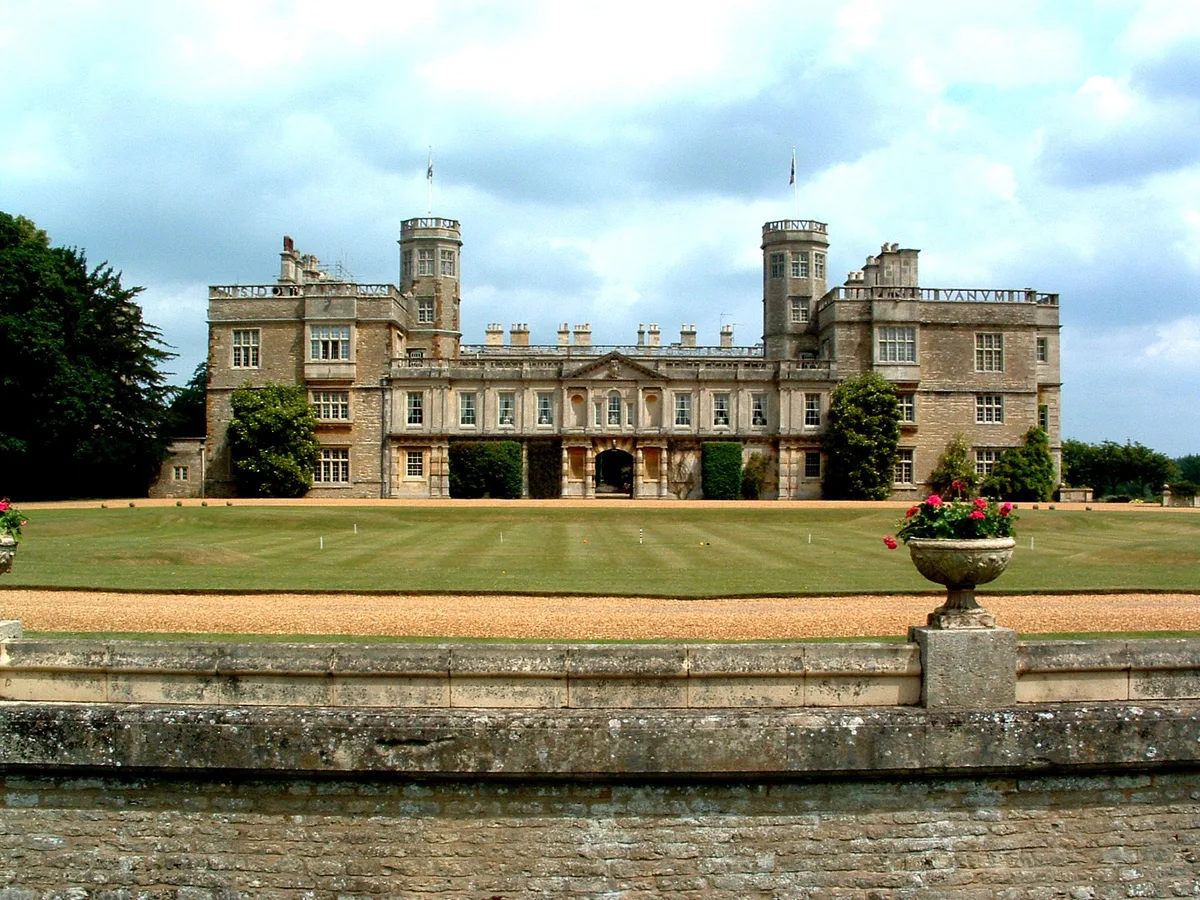
In 1970, excavations produced evidence of an abandoned village or deserted medieval village, known as Coton (which means cottages) situated behind Grendon Hall.
Sourced from Wikipedia under CC BY-SA 4.0.
- Coordinates
- 52.2357, -0.7178
- District
- North Northamptonshire
- Parish
- Grendon
- Postcode
- NN7
- Parliamentary constituency
- South Northamptonshire
- Population
- 477
- Nearest railway station
- Wellingborough — 8.1 km
Sources
- wikidata: Q645213 (CC0)
- wikipedia: Grendon, Northamptonshire (CC BY-SA 4.0)
- commons: GRENDON.JPG (CC BY-SA 4.0)
Other places nearby
Loading nearby places…
Nearby
.jpg?width=1200) 📷 3
📷 3Historic pubs · West Midlands
Half Moon
Half Moon — Historic pub — listed building or notable heritage status.
 📷 3
📷 3Farms (open to visitors) · West Midlands
Medieval cross 170m south west of Hall Farm
Medieval cross 170m south west of Hall Farm — a Grade II*-listed farm in england-west-midlands, United Kingdom.
 📷 2
📷 2Archaeological sites · West Midlands
Roman site
Roman site — a archaeological in england-west-midlands, United Kingdom.
Campsites · West Midlands
Grendon Lake Camping
Grendon Lake Camping — a campsite in england west midlands.
 📷 3
📷 3Historic churches · West Midlands
Church of St Mary Magdalen, Castle Ashby
Church of St Mary Magdalen, Castle Ashby — church in Castle Ashby, Northamptonshire, England, UK.
 📷 3
📷 3Castles · West Midlands
Castle Ashby House
Castle Ashby House — country house in Castle Ashby, Northamptonshire, England, UK.
More towns in this region
 Flagship📷 3
Towns & cities · West Midlands
Adderbury
Adderbury — village and civil parish in Cherwell district, Oxfordshire, England.
 Flagship📷 3
Towns & cities · West Midlands
Admington
Admington — village in Warwickshire, England, UK.
 Flagship📷 3
Towns & cities · West Midlands
Aldington
Aldington — village in Worcestershire, United Kingdom.
 Flagship📷 5
Towns & cities · West Midlands
Anstey
Anstey — large village in Leicestershire, England.
Frequently asked questions
- Where is Grendon?
- Grendon is in the West Midlands, United Kingdom (postcode NN7), in the parish of Grendon.
- Is Grendon a protected site?
- Yes — Grendon is part of the Upper Nene Valley Gravel Pits SSSI Site of Special Scientific Interest.
- Is Grendon free to visit?
- Yes, Grendon is free to enter.
- How do I get to Grendon?
- Drivers can navigate to postcode NN7. It sits within the South Northamptonshire parliamentary constituency.