Mountains & hills · Scottish Lowlands
Graystones
Graystones — Named summit at 455.3 m.

Wikimedia Commons contributors — see linked file page for photographer and licence licence
Plan your visit
- Typical visit
- 3 h–8 h
- Best time of year
- Late spring – early autumn (May–Oct)
- Free entry
- Dog-friendly
About
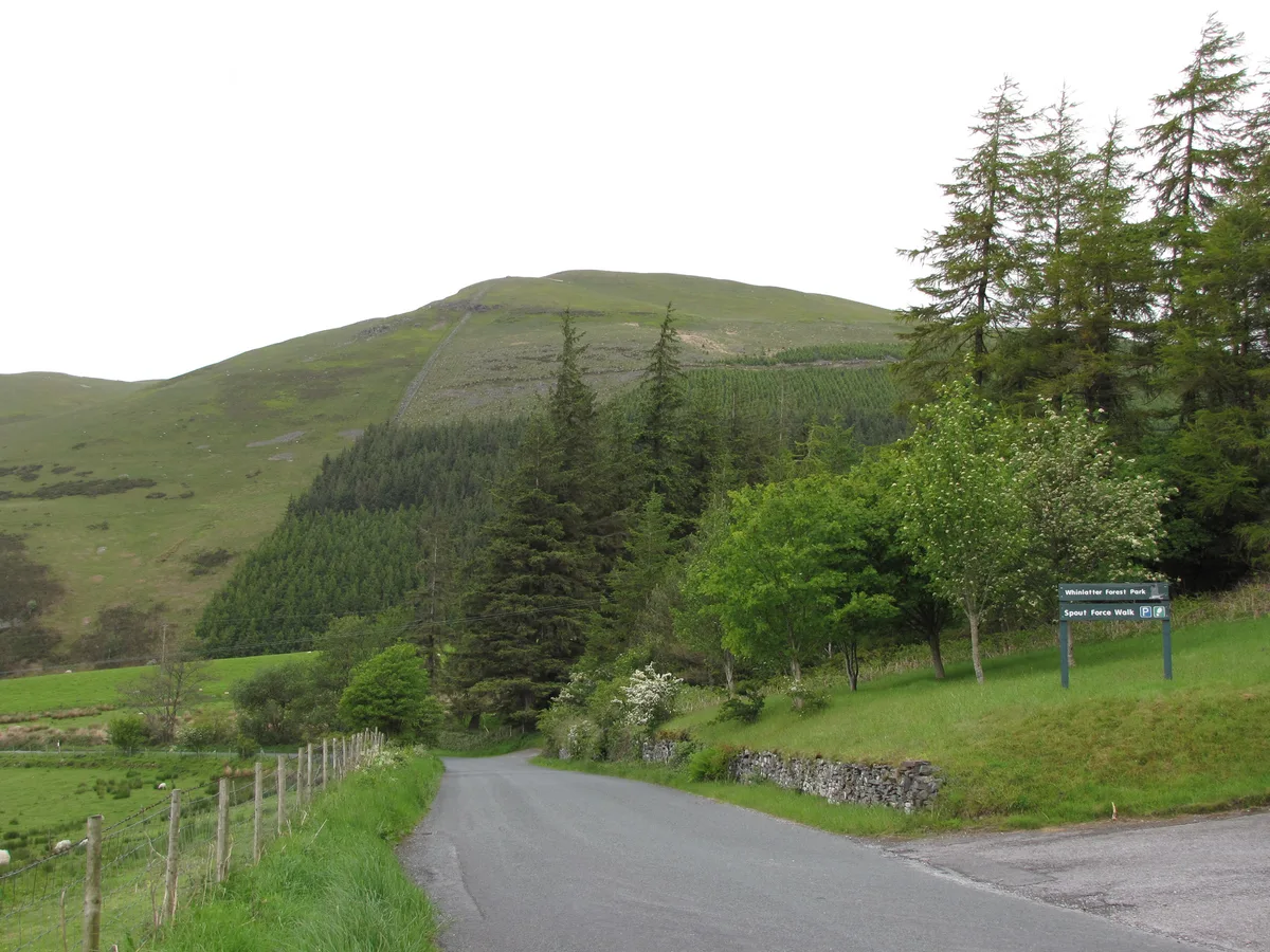
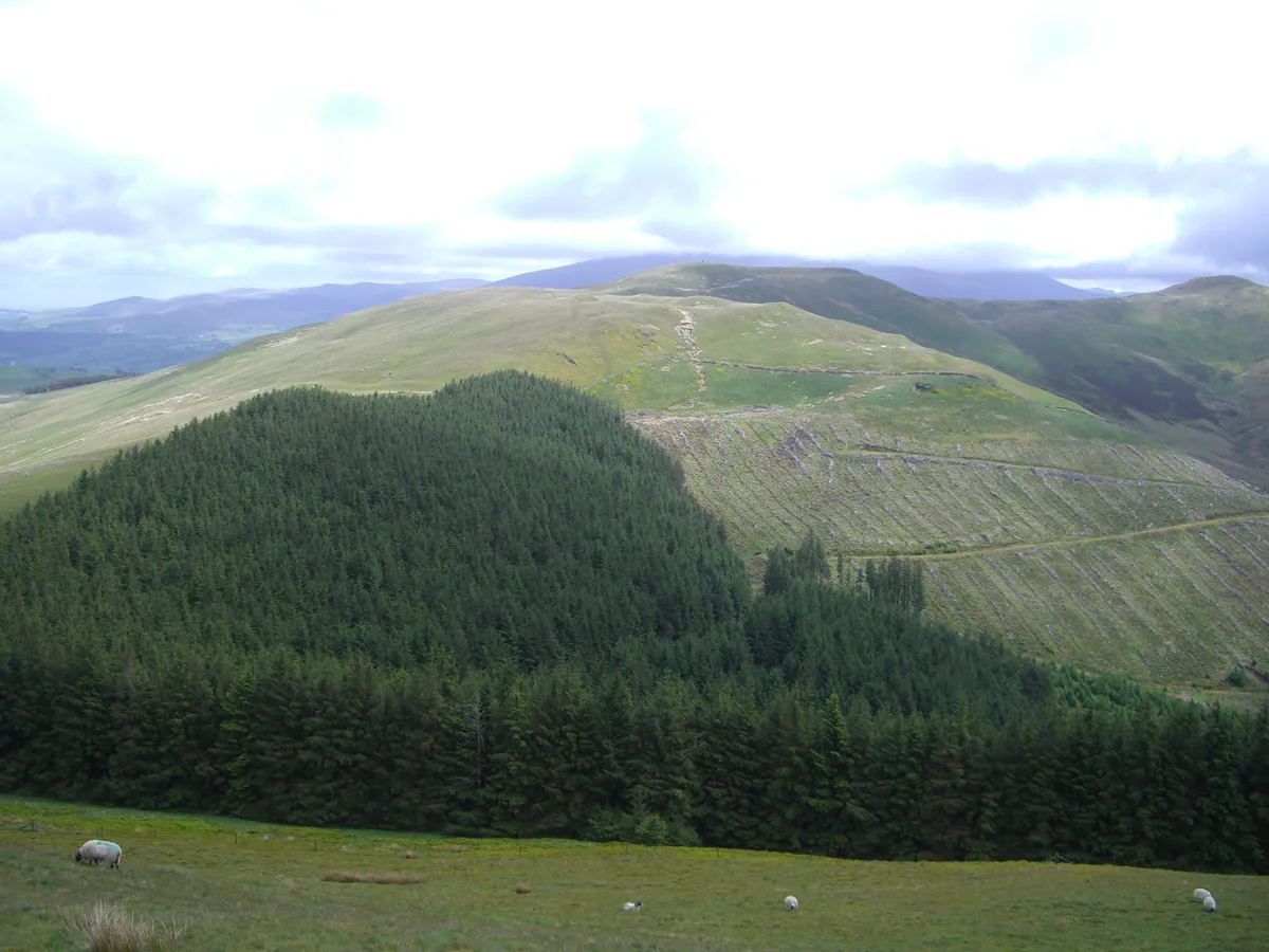
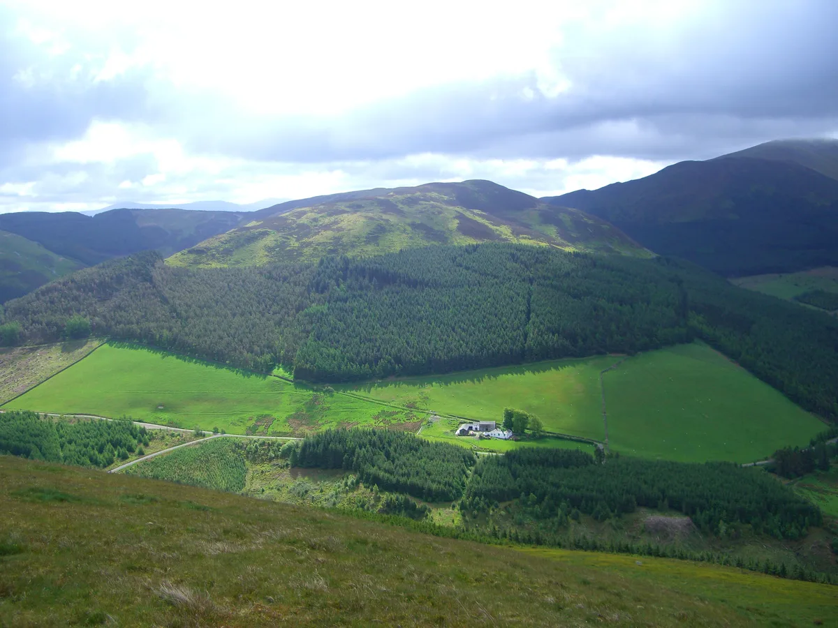
Graystones is a named summit in the United Kingdom. Wikidata describes it as: "Named summit at 455.3 m.". Coordinates: 54.6262°, -3.2750°.
Photo gallery
Protected designations
- Site of Special Scientific Interest: River Derwent and Tributaries SSSI
Designations sourced from Natural England open data under OGL v3.
From the Wikipedia article
Graystones is a fell in the English Lake District. It lies in the North Western Fells region and is one of the peaks on the ridge which encircles the valley of Aiken Beck.
Excerpt from Wikipedia under CC BY-SA 4.0. See the source article linked in Sources below.
- Coordinates
- 54.6262, -3.2750
- District
- Cumberland
- Parish
- Lorton
- Postcode
- CA13 9UE
- Parliamentary constituency
- Penrith and Solway
Sources
- osm: n29953562 (ODbL)
- wikipedia: Graystones (CC BY-SA 4.0)
- commons: Graystones from Whinlatter Road.jpg (CC BY-SA 4.0)
Other places nearby
Loading nearby places…
Nearby
 📷 3
📷 3Natural landmarks · Scottish Lowlands
Graystones
Graystones — mountain in United Kingdom.
 📷 3
📷 3Viewpoints · Scottish Lowlands
Spout Force
Spout Force is a viewpoint in the United Kingdom.
 📷 3
📷 3Natural landmarks · Scottish Lowlands
Broom Fell
Broom Fell — mountain in United Kingdom.
 📷 3
📷 3Historic bridges · Scottish Lowlands
Boonbeck Bridge
Boonbeck Bridge — Grade II listed building-listed bridge in scotland-lowlands, United Kingdom.
 📷 3
📷 3Mountains & hills · Scottish Lowlands
Broom Fell
Broom Fell — Named summit at 510.2 m.
 📷 5
📷 5Natural landmarks · Scottish Lowlands
Whinlatter
Whinlatter — mountain in United Kingdom.
More mountains in this region
 📷 3
📷 3Mountains & hills · Scottish Lowlands
Andrewhinney Hill
Andrewhinney Hill — Named summit at 677 m.
 📷 3
📷 3Mountains & hills · Scottish Lowlands
Arbory Hill
Arbory Hill — Named summit at 429 m.
 📷 3
📷 3Mountains & hills · Scottish Lowlands
Auchenton Hill ( East Mount Lowther)
Auchenton Hill ( East Mount Lowther) — Named summit at 631 m.
 📷 3
📷 3Mountains & hills · Scottish Lowlands
Bakestall
Bakestall — Named summit at 673.5 m.
Frequently asked questions
- Where is Graystones?
- Graystones is in the Scottish Lowlands, United Kingdom (postcode CA13 9UE), in the parish of Lorton.
- Is Graystones a protected site?
- Yes — Graystones is part of the River Derwent and Tributaries SSSI Site of Special Scientific Interest.
- Is Graystones free to visit?
- Yes, Graystones is free to enter.
- How do I get to Graystones?
- Drivers can navigate to postcode CA13 9UE. It sits within the Penrith and Solway parliamentary constituency.