Mountains & hills · Scottish Lowlands
Broom Fell
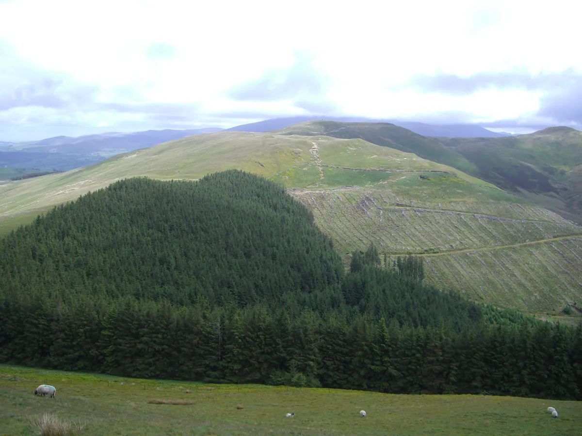
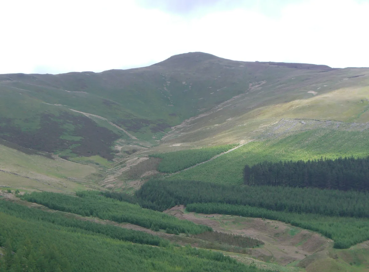
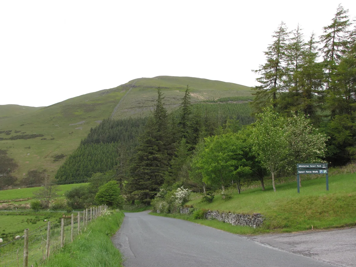
Broom Fell — Named summit at 510.2 m.

Wikimedia Commons contributors — see linked file page for photographer and licence licence
Plan your visit
- Typical visit
- 3 h–8 h
- Best time of year
- Late spring – early autumn (May–Oct)
- Free entry
- Dog-friendly
About
Broom Fell is a named summit in the United Kingdom. Wikidata describes it as: "Named summit at 510.2 m.". Coordinates: 54.6322°, -3.2479°.
Photo gallery
Protected designations
- Site of Special Scientific Interest: River Derwent and Tributaries SSSI
Designations sourced from Natural England open data under OGL v3.
From the Wikipedia article
Broom Fell is a hill with the status of a Wainwright in the English Lake District. It lies on a ridge connecting Lord's Seat and Graystones. Alfred Wainwright provided its status as a separate fell in his influential guidebook series, the Pictorial Guide to the Lakeland Fells.
Excerpt from Wikipedia under CC BY-SA 4.0. See the source article linked in Sources below.
- Coordinates
- 54.6322, -3.2479
- District
- Cumberland
- Parish
- Wythop
- Postcode
- CA13 9YR
- Parliamentary constituency
- Penrith and Solway
Sources
- osm: n4687631689 (ODbL)
- wikipedia: Broom Fell (CC BY-SA 4.0)
- commons: Broom Fell from Graystones 4.JPG (CC BY-SA 4.0)
Other places nearby
Loading nearby places…
Nearby
 📷 3
📷 3Natural landmarks · Scottish Lowlands
Broom Fell
Broom Fell — mountain in United Kingdom.
 📷 3
📷 3Natural landmarks · Scottish Lowlands
Lord's Seat
Lord's Seat — mountain in United Kingdom.
 📷 3
📷 3Mountains & hills · Scottish Lowlands
Lord's Seat
Lord's Seat — Named summit at 552 m.
 📷 3
📷 3Viewpoints · Scottish Lowlands
Spout Force
Spout Force is a viewpoint in the United Kingdom.
 📷 3
📷 3Natural landmarks · Scottish Lowlands
Graystones
Graystones — mountain in United Kingdom.
 📷 3
📷 3Mountains & hills · Scottish Lowlands
Graystones
Graystones — Named summit at 455.3 m.
More mountains in this region
 📷 3
📷 3Mountains & hills · Scottish Lowlands
Andrewhinney Hill
Andrewhinney Hill — Named summit at 677 m.
 📷 3
📷 3Mountains & hills · Scottish Lowlands
Arbory Hill
Arbory Hill — Named summit at 429 m.
 📷 3
📷 3Mountains & hills · Scottish Lowlands
Auchenton Hill ( East Mount Lowther)
Auchenton Hill ( East Mount Lowther) — Named summit at 631 m.
 📷 3
📷 3Mountains & hills · Scottish Lowlands
Bakestall
Bakestall — Named summit at 673.5 m.
Frequently asked questions
- Where is Broom Fell?
- Broom Fell is in the Scottish Lowlands, United Kingdom (postcode CA13 9YR), in the parish of Wythop.
- Is Broom Fell a protected site?
- Yes — Broom Fell is part of the River Derwent and Tributaries SSSI Site of Special Scientific Interest.
- Is Broom Fell free to visit?
- Yes, Broom Fell is free to enter.
- How do I get to Broom Fell?
- Drivers can navigate to postcode CA13 9YR. It sits within the Penrith and Solway parliamentary constituency.