Natural landmarks · North East England
Grasmoor
Grasmoor is a natural landmark in the United Kingdom.

Wikimedia Commons contributors — see linked file page for photographer and licence licence
Plan your visit
- Typical visit
- 1 h–2 h
- Free entry
- Dog-friendly
About
Grasmoor is a named natural landmark in the United Kingdom. Coordinates: 54.5712°, -3.2792°. This entry is part of The Great Britain Guide, a free, ad-free, open-data tourist directory.
Photo gallery
Protected designations
- Site of Special Scientific Interest: River Derwent and Tributaries SSSI
- Site of Special Scientific Interest: Buttermere Fells SSSI
Designations sourced from Natural England open data under OGL v3.
From the Wikipedia article
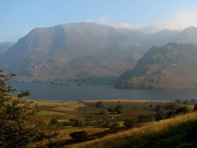
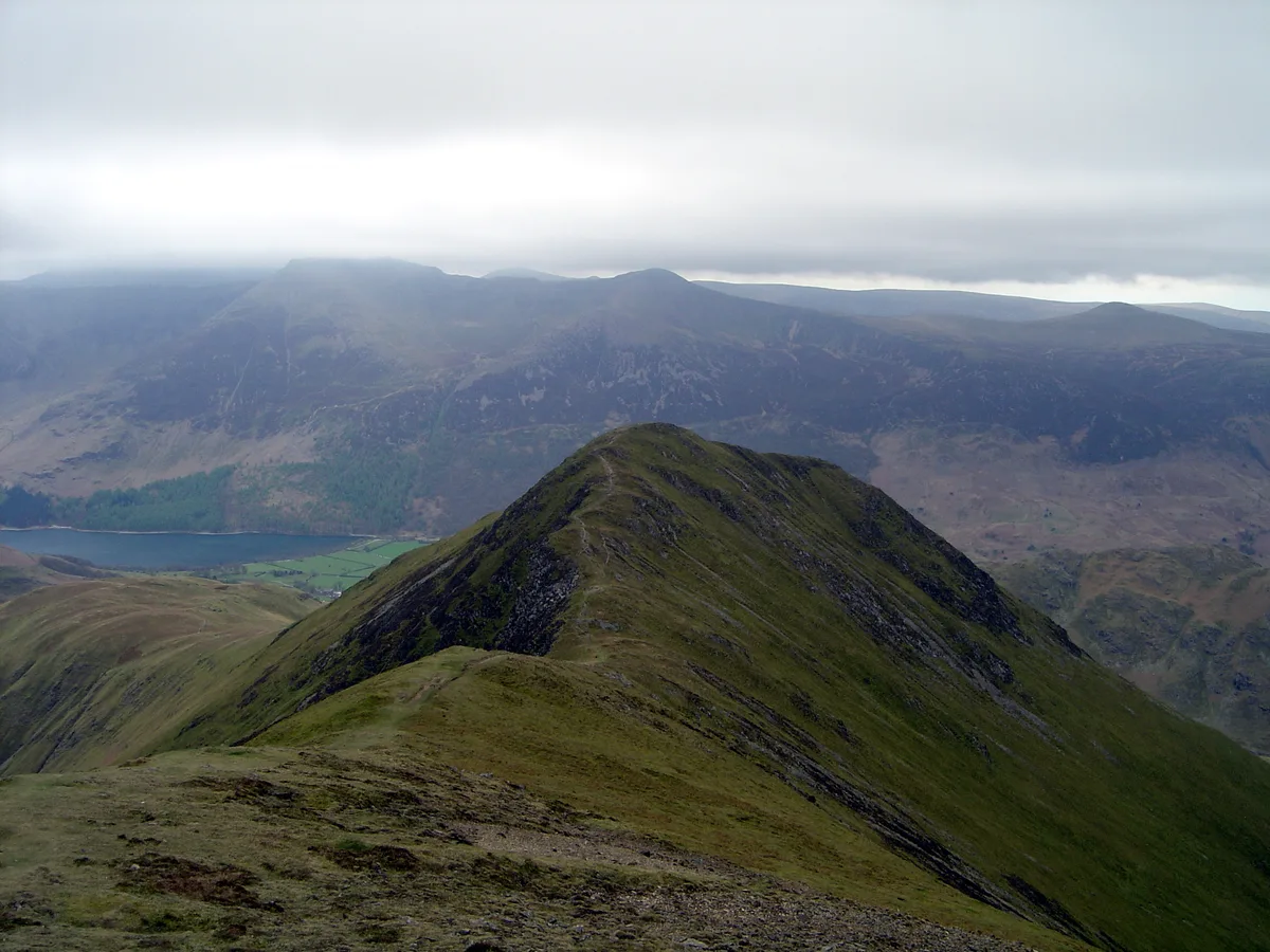
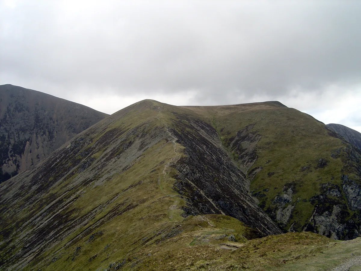
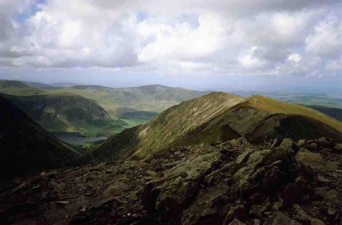
Grasmoor is a mountain in the north-western part of the Lake District, northern England. It is the highest peak in a group of hills between the villages of Lorton, Braithwaite and Buttermere, and overlooks Crummock Water. Grasmoor is distinguished by its steep western flank, dropping dramatically to Crummock Water. This face is however not suitable for rock climbers as there is little clean rock, although Alfred Wainwright describes a challenging route up the face in his Pictorial Guides to the Lakeland Fells. To the east the fell is linked to others by Crag Hill and Coledale Hause. Grasmoor is also home to the most extensive scree slopes in the North Western Fells.
Excerpt from Wikipedia under CC BY-SA 4.0. See the source article linked in Sources below.
- Coordinates
- 54.5712, -3.2792
- District
- Cumberland
- Parish
- Buttermere
- Postcode
- CA13 9UY
- Parliamentary constituency
- Penrith and Solway
Sources
- wikidata: Q5597404 (CC0)
- wikipedia: Grasmoor (CC BY-SA 4.0)
- commons: Crummock Water and Grasmoor - geograph.org.uk - 1557755.jpg (CC BY-SA 4.0)
Other places nearby
Loading nearby places…
Nearby
 📷 3
📷 3Mountains & hills · North East England
Grasmoor
Grasmoor — Named summit at 851.6 m.
 📷 3
📷 3Mountains & hills · North East England
Whiteless Pike
Whiteless Pike — Named summit at 660 m.
 📷 3
📷 3Natural landmarks · North East England
Wandope
Wandope — mountain in United Kingdom.
 📷 3
📷 3Mountains & hills · North East England
Wandope
Wandope — Named summit at 773.9 m.
 📷 3
📷 3Mountains & hills · North East England
Whiteside (Wainwright)
Whiteside (Wainwright) — Named summit at 707 m.
 📷 3
📷 3Natural landmarks · North East England
Whiteside
Whiteside — mountain in United Kingdom.
More natural landmarks in this region
 Flagship📷 5
Natural landmarks · North East England
Brothers Water
Brothers Water — lake in Cumbria, England, UK.
 📷 5
📷 5Natural landmarks · North East England
Angle Tarn
Angle Tarn — lake near Patterdale, Cumbria, England, United Kingdom.
 📷 3
📷 3Natural landmarks · North East England
Angletarn Pikes
Angletarn Pikes — mountain in United Kingdom.
 📷 3
📷 3Natural landmarks · North East England
Ard Crags
Ard Crags — mountain in United Kingdom.
Frequently asked questions
- Where is Grasmoor?
- Grasmoor is in North-East England, United Kingdom (postcode CA13 9UY), in the parish of Buttermere.
- Is Grasmoor a protected site?
- Yes — Grasmoor is part of the River Derwent and Tributaries SSSI Site of Special Scientific Interest and the Buttermere Fells SSSI Site of Special Scientific Interest.
- Is Grasmoor free to visit?
- Yes, Grasmoor is free to enter.
- How do I get to Grasmoor?
- Drivers can navigate to postcode CA13 9UY. It sits within the Penrith and Solway parliamentary constituency.