Archaeological sites · South East England
Glover's Wood
Glover's Wood — woodland in Surrey, England.

Wikimedia Commons contributors — see linked file page for photographer and licence licence
Plan your visit
- Typical visit
- 45 min–1.5 h
- Nearest railway station
- Ifield · 4.4 km
- Free entry
- Dog-friendly
About
Glover's Wood is an archaeological site in the United Kingdom. Heritage designation: Site of Special Scientific Interest. Wikidata describes it as: "woodland in Surrey, England". Coordinates: 51.1510°, -0.2430°.
Photo gallery
Protected designations
- Site of Special Scientific Interest: Glover's Wood SSSI
- Area of Outstanding Natural Beauty: High Weald
- Area of Outstanding Natural Beauty: Surrey Hills
Designations sourced from Natural England open data under OGL v3.
From the Wikipedia article
Glover's Wood is a 74.5-hectare (184-acre) biological Site of Special Scientific Interest east of Charlwood in Surrey. It is a Nature Conservation Review site, Grade 2. This semi-natural broadleaved wood has a very rich ground flora, including dog's mercury, yellow archangel, ramsons and woodland buttercup. The insect fauna has not been well studied, but it is known that there are some rare craneflies such as Molophilus lackschewitzianus. The site is crossed by footpaths.
Excerpt from Wikipedia under CC BY-SA 4.0. See the source article linked in Sources below.
- Coordinates
- 51.1510, -0.2430
- County
- Surrey
- District
- Mole Valley
- Parish
- Charlwood
- Postcode
- RH6 0JL
- Parliamentary constituency
- Dorking and Horley
- Nearest railway station
- Ifield — 4.4 km
Sources
- wikidata: Q5572149 (CC0)
- wikipedia: Glover's Wood (CC BY-SA 4.0)
- commons: Glovers Wood - geograph.org.uk - 2274475.jpg (CC BY-SA 4.0)
Other places nearby
Loading nearby places…
Nearby
 📷 5
📷 5Windmills · South East England
Lowfield Heath Windmill
Lowfield Heath Windmill is a windmill in the United Kingdom.
 📷 5
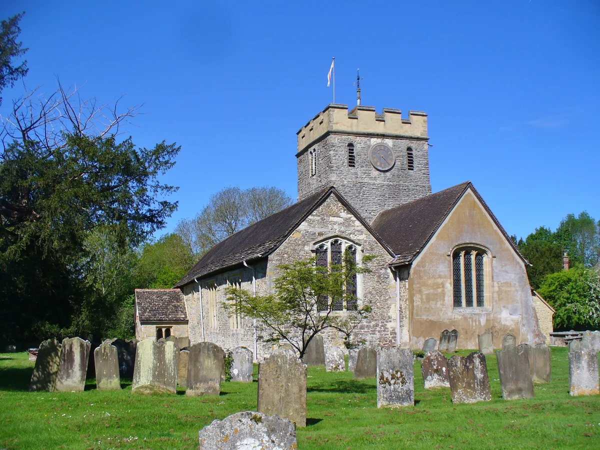
📷 5Historic churches · South East England
Church of St Nicholas, Charlwood
Church of St Nicholas, Charlwood — parish church of Charlwood, Surrey, England, UK.
 📷 5
📷 5Museums · South East England
Charlwood
Charlwood is a village and civil parish in the Mole Valley district of Surrey, England. It is immediately north-west of London Gatwick Airport in West Sussex, close west of Horley and north of Crawley
 📷 5
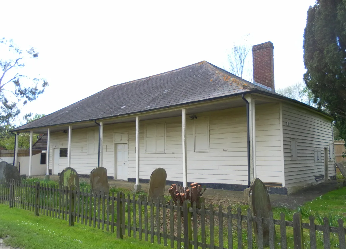
📷 5Historic churches · South East England
Providence Chapel, Charlwood
Providence Chapel, Charlwood — church in Mole Valley, UK.
 📷 5
📷 5Theatres · South East England
Amphitheatre
Amphitheatre is a theatre in the United Kingdom.
 📷 5
📷 5Manor houses · South East England
Charlwood Place
Charlwood Place — a manor in england-south-east, United Kingdom.
More archaeological sites in this region
 Flagship📷 6
Archaeological sites · South East England
America Wood
America Wood — biological Site of Special Scientific Interest on the Isle of Wight.
 Flagship📷 10
Archaeological sites · South East England
Bisham Woods
Bisham Woods — woodland in Berkshire, England.
 Flagship📷 10
Archaeological sites · South East England
Savernake Forest
Savernake Forest — 4500 acre forest in Wiltshire, England.
 📷 5
📷 5Archaeological sites · South East England
A quadrangular castle and its landscaped setting, an associated millpond, medieval crofts and cultivation earthworks, and a World War II pillbox at Bodiam
A quadrangular castle and its landscaped setting, an associated millpond, medieval crofts and cultivation earthworks, and a World War II pillbox at Bodiam — archaeological site in Bodiam, Rother, England, UK.
Frequently asked questions
- Where is Glover's Wood?
- Glover's Wood is in Surrey, South-East England, United Kingdom (postcode RH6 0JL), in the parish of Charlwood.
- Is Glover's Wood a listed building?
- Glover's Wood is officially recognised as Site of Special Scientific Interest listed.
- Is Glover's Wood a protected site?
- Yes — Glover's Wood is part of the Glover's Wood SSSI Site of Special Scientific Interest and the High Weald National Landscape (AONB).
- How do I get to Glover's Wood?
- The nearest railway station is Ifield, about 4.4 km away. Drivers can navigate to postcode RH6 0JL.