Mountains & hills · North Wales
Glasgwm
Glasgwm — Named summit at 779 m.

Wikimedia Commons contributors — see linked file page for photographer and licence licence
Plan your visit
- Typical visit
- 3 h–8 h
- Best time of year
- Late spring – early autumn (May–Oct)
- Free entry
- Dog-friendly
About
Glasgwm is a named summit in the United Kingdom. Wikidata describes it as: "Named summit at 779 m.". Coordinates: 52.7601°, -3.7253°.
Photo gallery
From the Wikipedia article
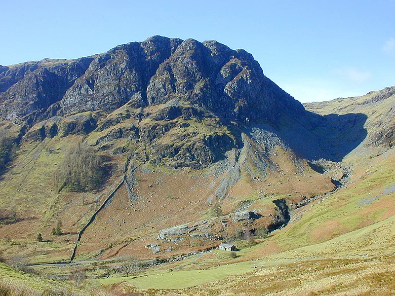
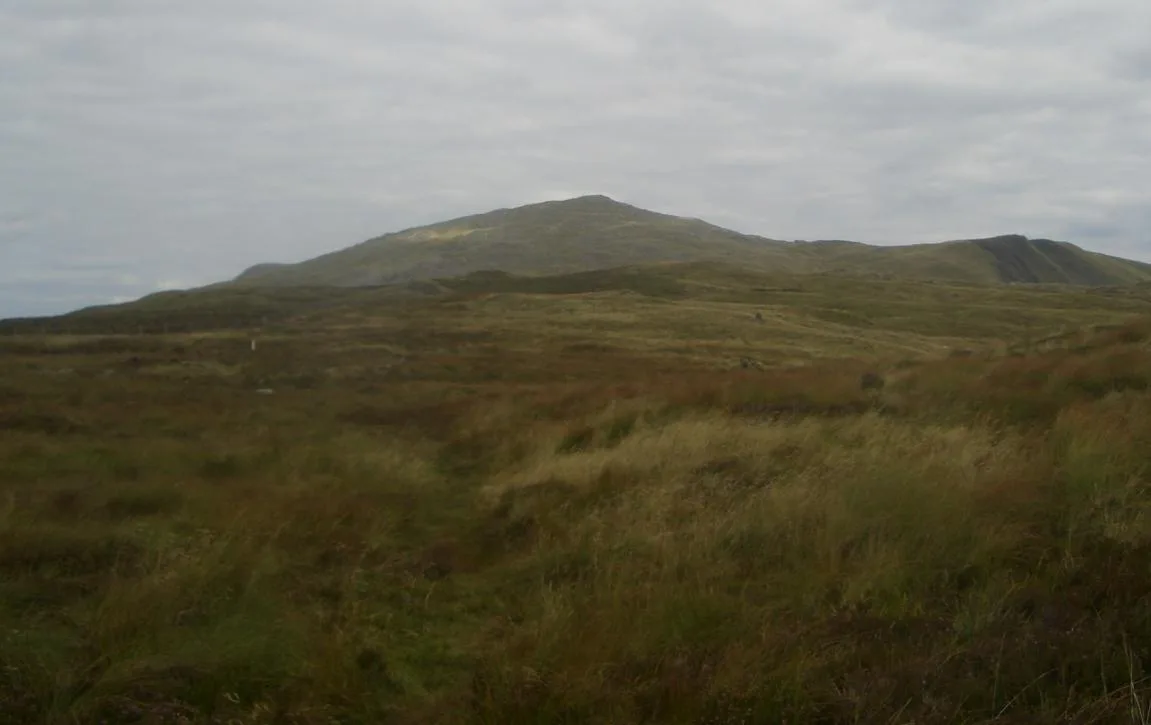
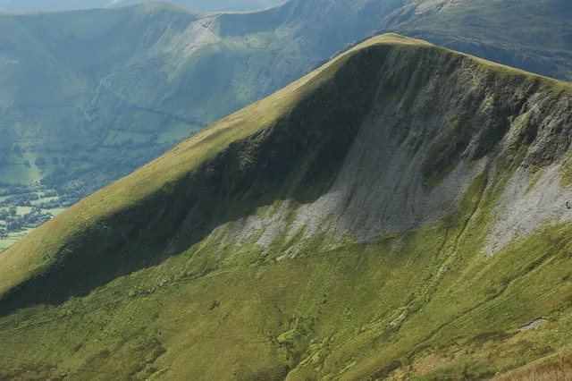
Glasgwm is a mountain in Gwynedd, Wales forming part of the Aran range in southern Snowdonia. It is one of the three Marilyns that make up the range, the others being Aran Fawddwy and Esgeiriau Gwynion. To the west is Maesglase and the Dyfi hills, while to the south-west lies Cadair Idris. To the south lies the Plynlimon range. It is 779 metres (2,556 ft) high. Craig Cywarch makes up the south face of Glasgwm. Its crags are very popular with rock climbers. A mountaineering club hut is found at the foot of the cliffs. Glasgwm's summit sits on a large rocky knoll marked by a cairn. The high altitude lake of Llyn y Fign lies adjacent to the summit, and is one of the largest bodies of water adjacent to a 700m+ summit in England and Wales.
Excerpt from Wikipedia under CC BY-SA 4.0. See the source article linked in Sources below.
- Coordinates
- 52.7601, -3.7253
- Address
- Gwynedd, Wales
Sources
- osm: n29748306 (ODbL)
- wikipedia: Glasgwm (CC BY-SA 4.0)
- commons: The head of Cwm Cywarch - geograph.org.uk - 547375.jpg (CC BY-SA 4.0)
Other places nearby
Loading nearby places…
Nearby
 📷 3
📷 3Natural landmarks · North Wales
Glasgwm
Glasgwm — mountain (779m) in Gwynedd.
 📷 3
📷 3Mountains & hills · North Wales
Waun Camddwr
Waun Camddwr — Named summit at 620 m.
 📷 3
📷 3Mountains & hills · North Wales
Gwaun y Llwyni
Gwaun y Llwyni — Named summit at 685 m.
 📷 3
📷 3Natural landmarks · North Wales
Gwaun y Llwyni
Gwaun y Llwyni — mountain (685m) in Gwynedd.
 📷 3
📷 3Mountains & hills · North Wales
Pen y Brynfforchog
Pen y Brynfforchog — Named summit at 685 m.
 📷 3
📷 3Natural landmarks · North Wales
Pen y Brynfforchog
Pen y Brynfforchog — mountain (684.9m) in Gwynedd.
More mountains in this region
 📷 5
📷 5Mountains & hills · North Wales
Cemlyn Bay and lagoon
Cemlyn Bay and lagoon — Site of Special Scientific Interest in Wales.
 📷 3
📷 3Mountains & hills · North Wales
Aberffraw Bay
Aberffraw Bay — bay on the west coast of Anglesey, in Wales, UK.
 📷 3
📷 3Mountains & hills · North Wales
Allt-fawr
Allt-fawr — Named summit at 698 m.
 📷 3
📷 3Mountains & hills · North Wales
Aran Benllyn
Aran Benllyn — Named summit at 884 m.
Frequently asked questions
- Where is Glasgwm?
- Glasgwm is in North Wales, in the United Kingdom — coordinates 52.7601°, -3.7253°.
- Is Glasgwm free to visit?
- Yes — admission to Glasgwm is free.