Archaeological sites · North West England
Fother Royd Wood
Fother Royd Wood is a archaeological site in the United Kingdom.

Chris Heaton — CC BY-SA 2.0 via Wikimedia Commons licence
Plan your visit
- Typical visit
- 45 min–1.5 h
- Nearest railway station
- Burnley Central · 4.1 km
- Free entry
- Dog-friendly
About
Fother Royd Wood is an archaeological site in the United Kingdom. Coordinates: 53.7800°, -2.1870°. This entry is part of The Great Britain Guide, a free, ad-free, open-data tourist directory.
Photo gallery
From the Wikipedia article
Fother Royd Wood is a woodland in Lancashire, England, near Worsthorne. It covers a total area of 1.03 hectares (2.55 acres). It is owned and managed by the Woodland Trust.
Excerpt from Wikipedia under CC BY-SA 4.0. See the source article linked in Sources below.
- Coordinates
- 53.7800, -2.1870
- County
- Lancashire
- District
- Burnley
- Parish
- Worsthorne-with-Hurstwood
- Postcode
- BB10 3LF
- Parliamentary constituency
- Burnley
- Nearest railway station
- Burnley Central — 4.1 km
Sources
- wikidata: Q5473913 (CC0)
- wikipedia: Fother Royd Wood (CC BY-SA 4.0)
Other places nearby
Loading nearby places…
Nearby
 📷 3
📷 3Historic houses · North West England
Hurstwood Hall
Hurstwood Hall — house in Worsthorne-with-Hurstwood, Burnley, England, UK.
 📷 3
📷 3Historic churches · North West England
St John the Evangelist's Church, Worsthorne
St John the Evangelist's Church, Worsthorne — grade II listed church in Worsthorne-with-Hurstwood, Burnley, Lancashire, England, UK.
 📷 3
📷 3Stone circles · North West England
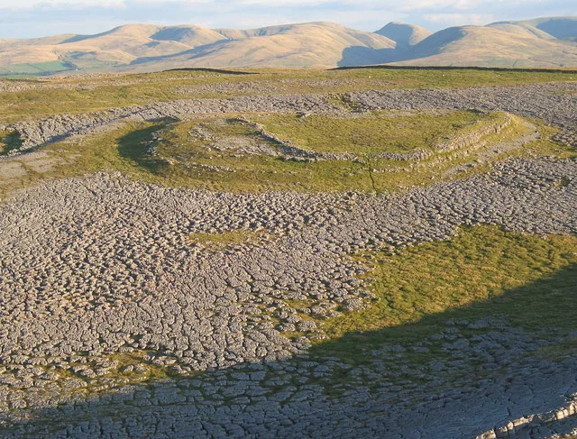
Remains of stone circle
Remains of stone circle — a stone circle in england-north-west, United Kingdom.
 📷 5
📷 5Towns & cities · North West England
Cliviger
Cliviger — civil parish, located in the Borough of Burnley, United Kingdom.
 📷 3
📷 3Memorials & monuments · North West England
War Memorial Approximately 100 Metres East of Towneley Hall
War Memorial Approximately 100 Metres East of Towneley Hall — Grade II listed building-listed memorial in england-north-west, United Kingdom.
 📷 3
📷 3Historic houses · North West England
Towneley Hall
Towneley Hall — Grade I listed house in Burnley, Lancashire, England, United Kingdom.
More archaeological sites in this region
 📷 3
📷 3Archaeological sites · North West England
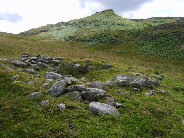
Castle Folds Romano-British defended stone hut circle settlement and medieval shieling
Castle Folds Romano-British defended stone hut circle settlement and medieval shieling — Romano-British walled settlement in Asby, Westmorland and Furness, Cumbria, England, UK.
 📷 3
📷 3Archaeological sites · North West England
Chapel Hill Motte, Arkholme
Chapel Hill Motte, Arkholme — archaeological site in Arkholme-with-Cawood, Lancaster, England, UK.
 📷 3
📷 3Archaeological sites · North West England
Dike, circles and cairns on Bleaberry Haws
Dike, circles and cairns on Bleaberry Haws — Scheduled Monument in the parish of Torver, Cumbria, England, UK.
 📷 5
📷 5Archaeological sites · North West England
Giggle Alley
Giggle Alley — woodland in Eskdale Green, England.
Frequently asked questions
- Where is Fother Royd Wood?
- Fother Royd Wood is in Lancashire, North-West England, United Kingdom (postcode BB10 3LF), in the parish of Worsthorne-with-Hurstwood.
- Who owns Fother Royd Wood?
- Fother Royd Wood is owned by Woodland Trust.
- How do I get to Fother Royd Wood?
- The nearest railway station is Burnley Central, about 4.1 km away. Drivers can navigate to postcode BB10 3LF.