Forests & woodlands · West Midlands
Forge Mill Lake Local Nature Reserve Black Country Geosite
Forge Mill Lake Local Nature Reserve Black Country Geosite is a forest or woodland in the United Kingdom.

Wikimedia Commons licence
Plan your visit
- Typical visit
- 1 h–3 h
- Nearest railway station
- Hamstead · 1.5 km
- Free entry
- Family-friendly
- Dog-friendly
About
Forge Mill Lake Local Nature Reserve Black Country Geosite is a named forest, woodland or nature reserve in the United Kingdom. Coordinates: 52.5359°, -1.9500°.
Photo gallery
From the Wikipedia article
Forge Mill Lake is a local nature reserve in Sandwell Valley, near West Bromwich in West Midlands, England. It is within Sandwell Valley Country Park.
Excerpt from Wikipedia under CC BY-SA 4.0. See the source article linked in Sources below.
Background
Description
The site, area 63 ha, is owned and managed by Sandwell Metropolitan Borough Council, and was declared a local nature reserve (LNR) in 1991. Part of the site, including one of the two islands in the lake, is managed by the RSPB as part of the adjacent Sandwell Valley RSPB reserve. The lake is alongside the River Tame. There is a footpath around the lake; wildflower meadows and woodland plantations are linked to it by pathways, a cycleway and bridleway. There is a visitor centre at Forge Mill Farm. As of 2020, the lake is being remodelled and its capacity increased as part of the "Perry Barr and Witton flood risk management scheme".
Sourced from Wikipedia under CC BY-SA 4.0.
- Coordinates
- 52.5359, -1.9500
- District
- Sandwell
- Parish
- Sandwell, unparished area
- Postcode
- B43 5AB
- Parliamentary constituency
- West Bromwich
- Nearest railway station
- Hamstead — 1.5 km
- Opening
- | website =
Sources
- osm: r5716005 (ODbL)
- wikipedia: Forge Mill Lake (CC BY-SA 4.0)
Other places nearby
Loading nearby places…
Nearby
 📷 3
📷 3Public art & sculpture · West Midlands
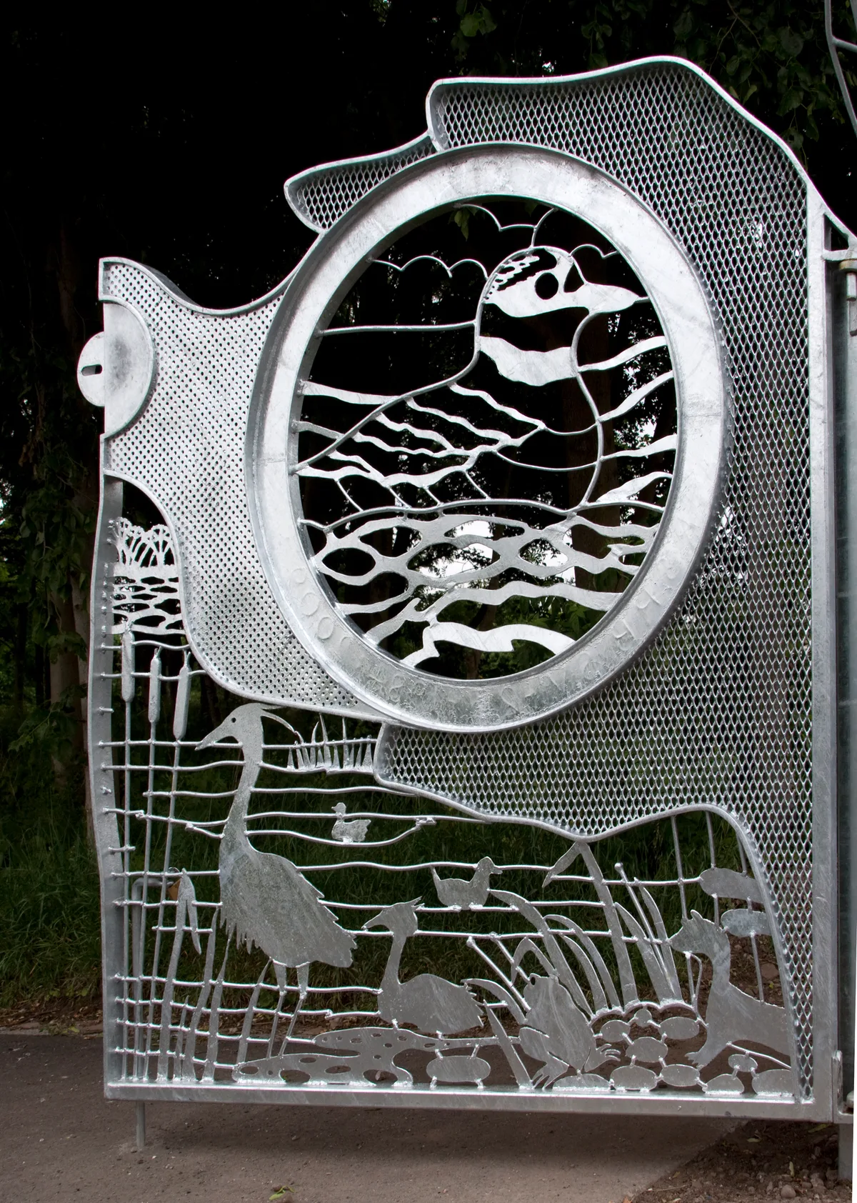
RSPB Gates
RSPB Gates — a public art in england-west-midlands, United Kingdom.
 📷 5
📷 5Wildlife reserves · West Midlands
Sandwell Valley RSPB reserve
Sandwell Valley RSPB reserve — RSPB nature reserve in the English West Midlands county.
📷 3Viewpoints · West Midlands
River Tame Flood Gates
River Tame Flood Gates is a viewpoint in the United Kingdom.
 📷 3
📷 3Historic bridges · West Midlands
Gerse Farm Bridge At Sp 041 934 Tame Valley Canal
Gerse Farm Bridge At Sp 041 934 Tame Valley Canal — Grade II listed building-listed bridge in england-west-midlands, United Kingdom.
 📷 3
📷 3Historic bridges · West Midlands
Chimney Bridge, Green Lane Tame Valley Canal
Chimney Bridge, Green Lane Tame Valley Canal — Grade II listed building-listed bridge in england-west-midlands, United Kingdom.
📷 5Historic houses · West Midlands
Hamstead Hall Academy
Hamstead Hall Academy — a school heritage in england-west-midlands, United Kingdom.
More forests in this region
 📷 3
📷 3Forests & woodlands · West Midlands
Abington Meadows Nature Reserve
Abington Meadows Nature Reserve is a forest or woodland in the United Kingdom.
_(geograph_2935627).jpg?width=1200) 📷 3
📷 3Forests & woodlands · West Midlands
Adderbury Lakes
Adderbury Lakes is a forest or woodland in the United Kingdom.
 📷 3
📷 3Forests & woodlands · West Midlands
Alcott Wood
Alcott Wood is a forest or woodland in the United Kingdom.
 📷 3
📷 3Forests & woodlands · West Midlands
Alvecote Meadows Nature Reserve
Alvecote Meadows Nature Reserve is a forest or woodland in the United Kingdom.
Frequently asked questions
- Where is Forge Mill Lake Local Nature Reserve Black Country Geosite?
- Forge Mill Lake Local Nature Reserve Black Country Geosite is in the West Midlands, United Kingdom (postcode B43 5AB), in the parish of Sandwell, unparished area.
- Who owns Forge Mill Lake Local Nature Reserve Black Country Geosite?
- Forge Mill Lake Local Nature Reserve Black Country Geosite is owned by Sandwell Metropolitan Borough Council.
- Is Forge Mill Lake Local Nature Reserve Black Country Geosite free to visit?
- Yes, Forge Mill Lake Local Nature Reserve Black Country Geosite is free to enter.
- How do I get to Forge Mill Lake Local Nature Reserve Black Country Geosite?
- The nearest railway station is Hamstead, about 1.5 km away. Drivers can navigate to postcode B43 5AB.