Mountains & hills · North Wales
Foel Rhudd
Foel Rhudd — Named summit at 659 m.

Wikimedia Commons contributors — see linked file page for photographer and licence licence
Plan your visit
- Typical visit
- 3 h–8 h
- Best time of year
- Late spring – early autumn (May–Oct)
- Nearest railway station
- Llanuwchllyn · 6.2 km
- Free entry
- Dog-friendly
About
Foel Rhudd is a named summit in the United Kingdom. Wikidata describes it as: "Named summit at 659 m.". Coordinates: 52.8022°, -3.6384°.
Photo gallery
From the Wikipedia article
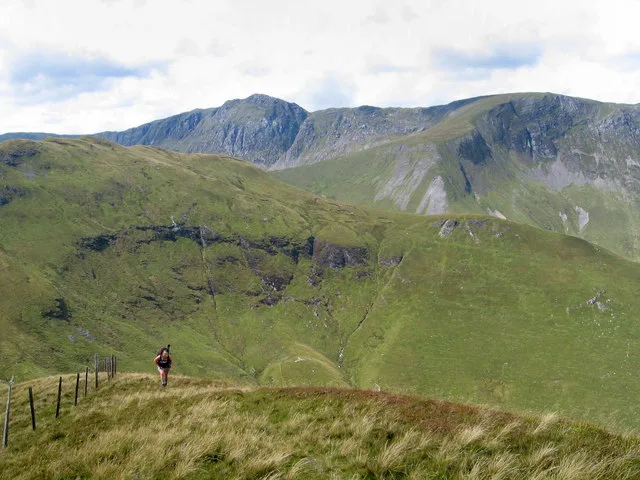
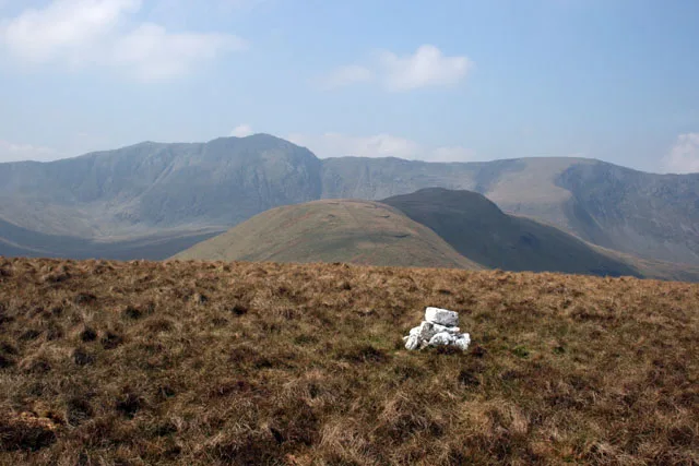
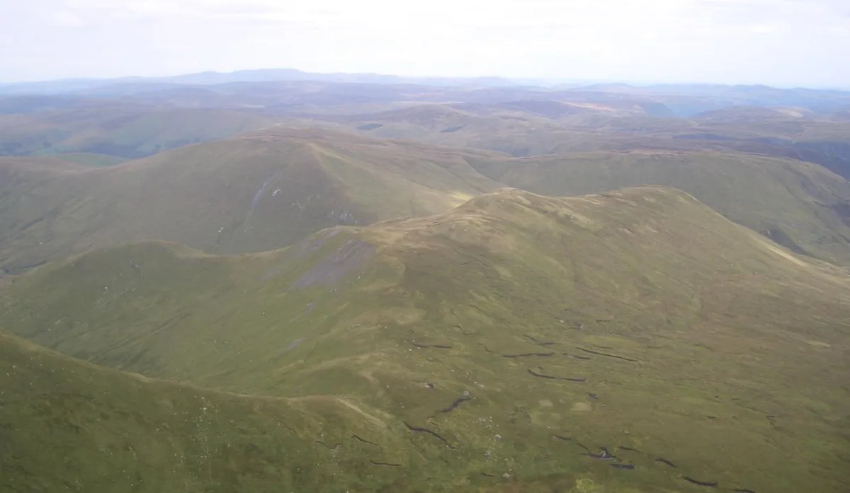
Foel Rhudd is a top of Esgeiriau Gwynion in north Wales. It tops a wide area of peat bog, the summit marked only by a few stones. Esgeiriau Gwynion summit is directly to the west, separated by a small col of peat hags. Llechwedd Du is connected to the south by a small ridge.
Excerpt from Wikipedia under CC BY-SA 4.0. See the source article linked in Sources below.
- Coordinates
- 52.8022, -3.6384
- Address
- Gwynedd, Wales
- Nearest railway station
- Llanuwchllyn — 6.2 km
Sources
- osm: n29750752 (ODbL)
- wikipedia: Foel Rhudd (CC BY-SA 4.0)
- commons: FOELRHUDD.JPG (CC BY-SA 4.0)
Other places nearby
Loading nearby places…
Nearby
 📷 3
📷 3Natural landmarks · North Wales
Esgeiriau Gwynion
Esgeiriau Gwynion — mountain (671m) in Powys.
 📷 3
📷 3Mountains & hills · North Wales
Esgeiriau Gwynion
Esgeiriau Gwynion — Named summit at 671 m.
 📷 3
📷 3Natural landmarks · North Wales
Llechwedd Du
Llechwedd Du — mountain (614m) in Gwynedd.
 📷 3
📷 3Mountains & hills · North Wales
Llechwedd Du
Llechwedd Du — Named summit at 614 m.
 📷 3
📷 3Natural landmarks · North Wales
Foel Hafod-fynydd
Foel Hafod-fynydd — mountain (689m) in Gwynedd.
 📷 3
📷 3Mountains & hills · North Wales
Foel Hafod-fynydd
Foel Hafod-fynydd — Named summit at 689 m.
More mountains in this region
 📷 5
📷 5Mountains & hills · North Wales
Cemlyn Bay and lagoon
Cemlyn Bay and lagoon — Site of Special Scientific Interest in Wales.
 📷 3
📷 3Mountains & hills · North Wales
Aberffraw Bay
Aberffraw Bay — bay on the west coast of Anglesey, in Wales, UK.
 📷 3
📷 3Mountains & hills · North Wales
Allt-fawr
Allt-fawr — Named summit at 698 m.
 📷 3
📷 3Mountains & hills · North Wales
Aran Benllyn
Aran Benllyn — Named summit at 884 m.
Frequently asked questions
- Where is Foel Rhudd?
- Foel Rhudd is in North Wales, United Kingdom.
- Is Foel Rhudd free to visit?
- Yes, Foel Rhudd is free to enter.
- How do I get to Foel Rhudd?
- The nearest railway station is Llanuwchllyn, about 6.2 km away.