Mountains & hills · North Wales
Foel Gron
Foel Gron — Named summit at 629 m.

Wikimedia Commons contributors — see linked file page for photographer and licence licence
Plan your visit
- Typical visit
- 3 h–8 h
- Best time of year
- Late spring – early autumn (May–Oct)
- Nearest railway station
- Plas-y-nant · 1.4 km
- Free entry
- Dog-friendly
About
Foel Gron is a named summit in the United Kingdom. Wikidata describes it as: "Named summit at 629 m.". Coordinates: 53.0892°, -4.1515°.
Photo gallery
From the Wikipedia article
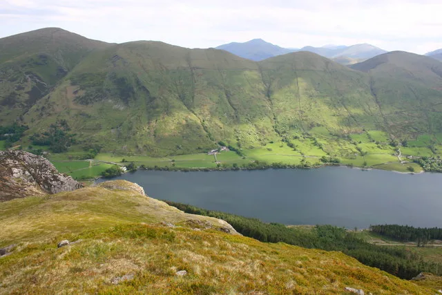
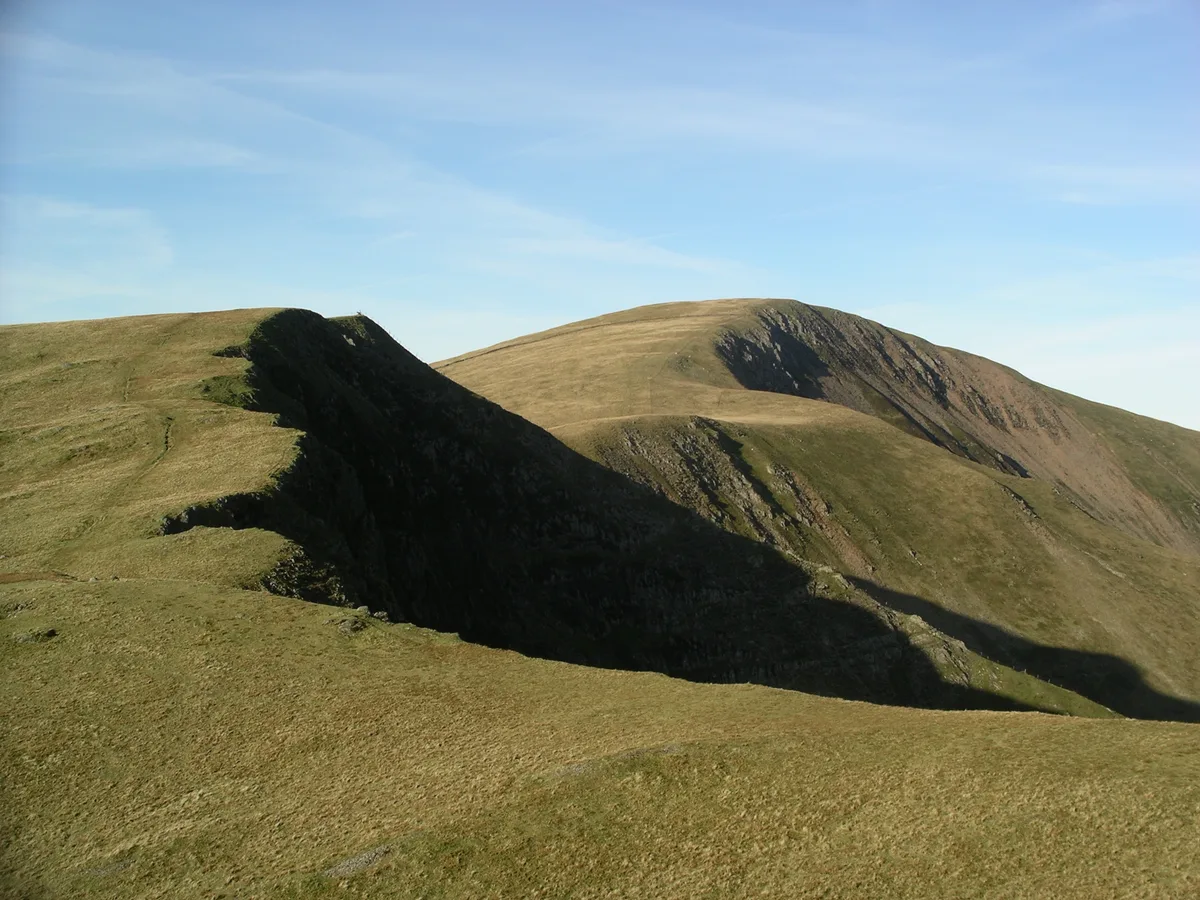
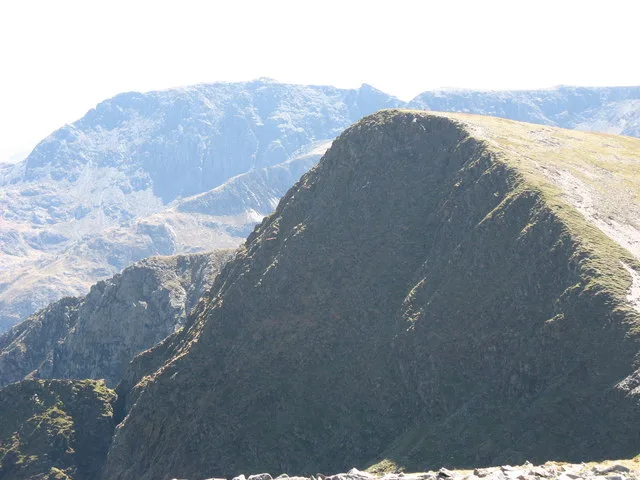
Foel Gron is a peak on the Moel Eilio ridge of hills/mountains in Snowdonia, North Wales. This ridge is used as a hiker's route from Llanberis to the summit of Snowdon.
Excerpt from Wikipedia under CC BY-SA 4.0. See the source article linked in Sources below.
- Coordinates
- 53.0892, -4.1515
- District
- Gwynedd
- Parish
- Betws Garmon
- Postcode
- LL54 7YT
- Parliamentary constituency
- Dwyfor Meirionnydd
- Nearest railway station
- Plas-y-nant — 1.4 km
Sources
- osm: n333562622 (ODbL)
- wikipedia: Foel Gron (CC BY-SA 4.0)
- commons: Llyn Cwellyn and the Moel Eilio Ridge - geograph.org.uk - 823092.jpg (CC BY-SA 4.0)
Other places nearby
Loading nearby places…
Nearby
 📷 3
📷 3Natural landmarks · North Wales
Foel Gron
Foel Gron — mountain (629m) in Gwynedd.
 📷 3
📷 3Mountains & hills · North Wales
Moel Eilio
Moel Eilio — Named summit at 726 m.
 📷 3
📷 3Natural landmarks · North Wales
Moel Eilio
Moel Eilio — mountain (726m) in Gwynedd, Wales, UK.
 📷 3
📷 3Mountains & hills · North Wales
Foel Goch
Foel Goch — Named summit at 605 m.
 📷 5
📷 5Historic bridges · North Wales
Pont Cerrig-y-rhyd
Pont Cerrig-y-rhyd — Grade II listed building-listed bridge in wales-north, United Kingdom.
Campsites · North Wales
Silver Birches Camping
Silver Birches Camping — a campsite in wales north.
More mountains in this region
 📷 5
📷 5Mountains & hills · North Wales
Cemlyn Bay and lagoon
Cemlyn Bay and lagoon — Site of Special Scientific Interest in Wales.
 📷 3
📷 3Mountains & hills · North Wales
Aberffraw Bay
Aberffraw Bay — bay on the west coast of Anglesey, in Wales, UK.
 📷 3
📷 3Mountains & hills · North Wales
Allt-fawr
Allt-fawr — Named summit at 698 m.
 📷 3
📷 3Mountains & hills · North Wales
Aran Benllyn
Aran Benllyn — Named summit at 884 m.
Frequently asked questions
- Where is Foel Gron?
- Foel Gron is in North Wales, United Kingdom (postcode LL54 7YT), in the parish of Betws Garmon.
- Is Foel Gron free to visit?
- Yes, Foel Gron is free to enter.
- How do I get to Foel Gron?
- The nearest railway station is Plas-y-nant, about 1.4 km away. Drivers can navigate to postcode LL54 7YT.