Mountains & hills · North Wales
Foel Goch
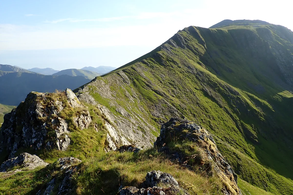
Foel Goch — Named summit at 831 m.

Wikimedia Commons contributors — see linked file page for photographer and licence licence
Plan your visit
- Typical visit
- 3 h–8 h
- Best time of year
- Late spring – early autumn (May–Oct)
- Nearest railway station
- Gilfach Ddu · 4.4 km
- Free entry
- Dog-friendly
About
Foel Goch is a named summit in the United Kingdom. Wikidata describes it as: "Named summit at 831 m.". Coordinates: 53.1304°, -4.0511°.
Photo gallery
From the Wikipedia article
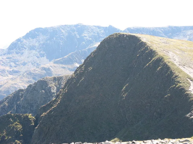
Foel-goch is a mountain in Snowdonia, north-west Wales, and forms part of the Glyderau range, in Gwynedd. It lies in between Y Garn and Mynydd Perfedd. Good views of Dyffryn Ogwen are seen with Pen yr Ole Wen, Carnedd Dafydd, Tryfan, Glyder Fawr and Elidir Fawr close by. Its height is 831 metres (2,726 ft).
Excerpt from Wikipedia under CC BY-SA 4.0. See the source article linked in Sources below.
- Coordinates
- 53.1304, -4.0511
- District
- Gwynedd
- Parish
- Llandygai
- Postcode
- LL57 3DQ
- Parliamentary constituency
- Bangor Aberconwy
- Nearest railway station
- Gilfach Ddu — 4.4 km
Sources
- osm: n333214381 (ODbL)
- wikipedia: Foel-goch (CC BY-SA 4.0)
- commons: The North Face of Foel Goch - geograph.org.uk - 226134.jpg (CC BY-SA 4.0)
Other places nearby
Loading nearby places…
Nearby
 📷 3
📷 3Natural landmarks · North Wales
Foel-goch
Foel-goch — mountain (831m) in Gwynedd.
 📷 3
📷 3Mountains & hills · North Wales
Mynydd Perfedd
Mynydd Perfedd — Named summit at 812 m.
 📷 3
📷 3Reservoirs & lochs · North Wales
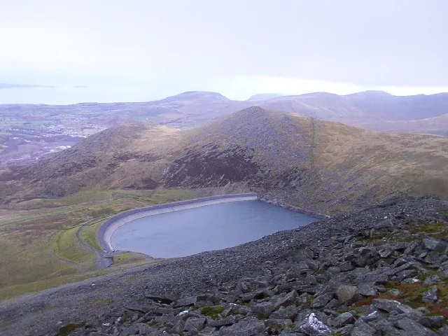
Marchlyn Mawr
Marchlyn Mawr — reservoir lake in Gwynedd, Wales.
 📷 3
📷 3Mountains & hills · North Wales
Y Garn
Y Garn — Named summit at 947 m.
 📷 4
📷 4Natural landmarks · North Wales
Elidir Fawr
Elidir Fawr — mountain (924m) in Gwynedd.
 📷 4
📷 4Mountains & hills · North Wales
Elidir Fawr
Elidir Fawr — Named summit at 923 m.
More mountains in this region
 📷 5
📷 5Mountains & hills · North Wales
Cemlyn Bay and lagoon
Cemlyn Bay and lagoon — Site of Special Scientific Interest in Wales.
 📷 3
📷 3Mountains & hills · North Wales
Aberffraw Bay
Aberffraw Bay — bay on the west coast of Anglesey, in Wales, UK.
 📷 3
📷 3Mountains & hills · North Wales
Allt-fawr
Allt-fawr — Named summit at 698 m.
 📷 3
📷 3Mountains & hills · North Wales
Aran Benllyn
Aran Benllyn — Named summit at 884 m.
Frequently asked questions
- Where is Foel Goch?
- Foel Goch is in North Wales, United Kingdom (postcode LL57 3DQ), in the parish of Llandygai.
- Is Foel Goch free to visit?
- Yes, Foel Goch is free to enter.
- How do I get to Foel Goch?
- The nearest railway station is Gilfach Ddu, about 4.4 km away. Drivers can navigate to postcode LL57 3DQ.