Mountains & hills · North Wales
Foel Goch
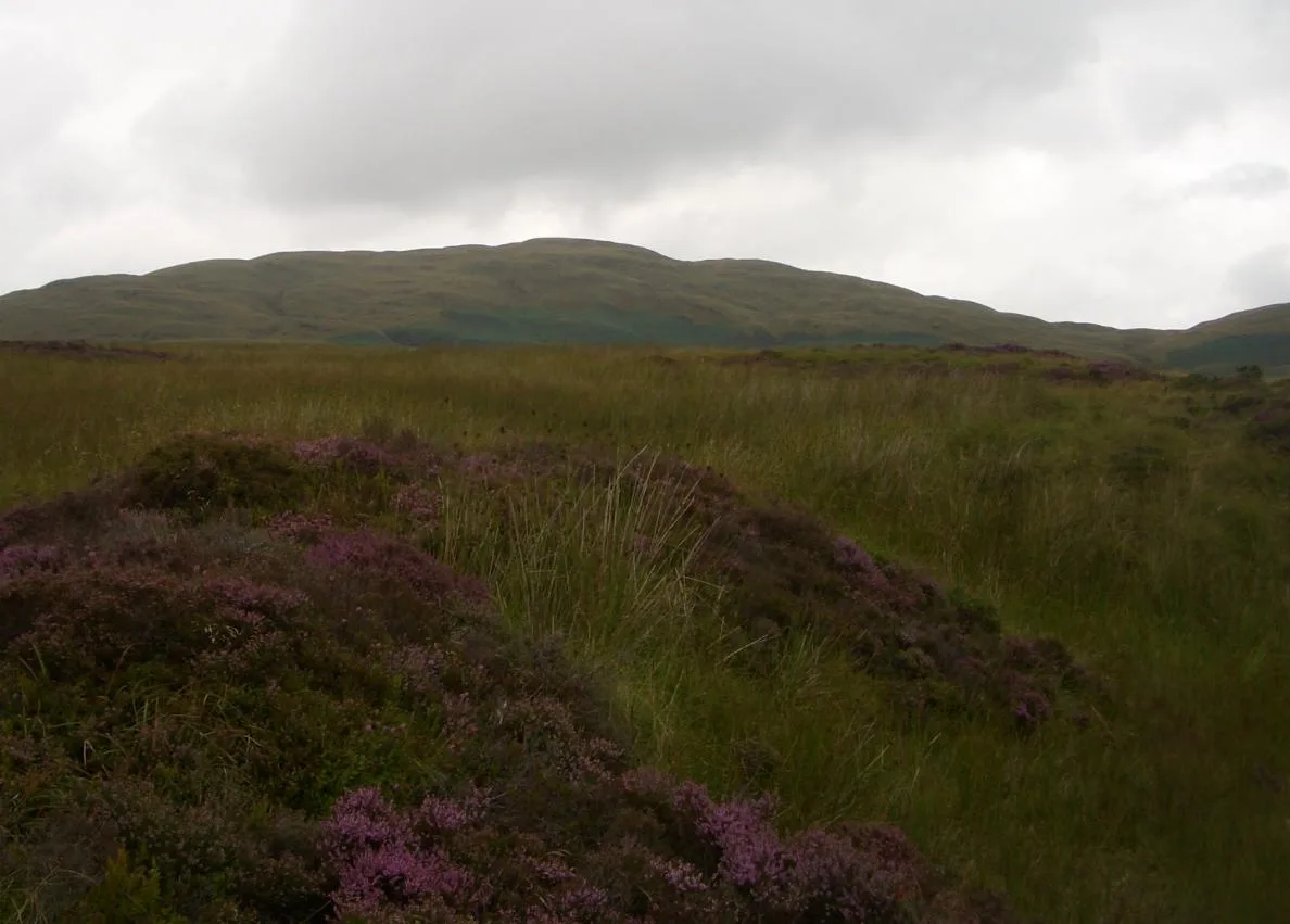
Foel Goch — Named summit at 611 m.

Wikimedia Commons contributors — see linked file page for photographer and licence licence
Plan your visit
- Typical visit
- 3 h–8 h
- Best time of year
- Late spring – early autumn (May–Oct)
- Nearest railway station
- Bala (Penybont) · 7.7 km
- Free entry
- Dog-friendly
About
Foel Goch is a named summit in the United Kingdom. Wikidata describes it as: "Named summit at 611 m.". Coordinates: 52.9677°, -3.5592°.
Photo gallery
From the Wikipedia article
Foel Goch is a mountain in north-west Wales, and forms part of the Arenig mountain range. It is the only member of the Arenig group that lies outside of the Snowdonia National Park. The summit is grassy and is marked by a trig point, cairn and a boundary stone. Glacial erratics litter its slopes, with a large one located in Cwm Da. To the west are Carnedd y Filiast and Arenig Fach, while to the south west are Arenig Fawr and Mynydd Nodol. To the south is Aran Fawddwy and to the south east are Cadair Berwyn and Cyrniau Nod.
Excerpt from Wikipedia under CC BY-SA 4.0. See the source article linked in Sources below.
- Coordinates
- 52.9677, -3.5592
- District
- Conwy
- Parish
- Llangwm
- Postcode
- LL21 0RB
- Parliamentary constituency
- Bangor Aberconwy
- Nearest railway station
- Bala (Penybont) — 7.7 km
Sources
- osm: n29778902 (ODbL)
- wikipedia: Foel Goch (Arenigs) (CC BY-SA 4.0)
- commons: Gochfiekl.JPG (CC BY-SA 4.0)
Other places nearby
Loading nearby places…
Nearby
 📷 3
📷 3Natural landmarks · North Wales
Foel Goch
Foel Goch — mountain (611m) in Gwynedd.
 📷 3
📷 3Mountains & hills · North Wales
Orddu
Orddu — a mountain in wales-north, United Kingdom, 555 m.
📷 3Mountains & hills · North Wales
Bryn Bras
Bryn Bras — a mountain in wales-north, United Kingdom, 536 m.
 📷 3
📷 3Mountains & hills · North Wales
Garnedd Fawr
Garnedd Fawr — a mountain in wales-north, United Kingdom, 569 m.
 📷 3
📷 3Mountains & hills · North Wales
Pen y Cerrig-serth
Pen y Cerrig-serth — a mountain in wales-north, United Kingdom, 522 m.

Mountains & hills · North Wales
Pen Coed-y-Bedo
Pen Coed-y-Bedo — a mountain in wales-north, United Kingdom, 369 m.
More mountains in this region
 📷 5
📷 5Mountains & hills · North Wales
Cemlyn Bay and lagoon
Cemlyn Bay and lagoon — Site of Special Scientific Interest in Wales.
 📷 3
📷 3Mountains & hills · North Wales
Aberffraw Bay
Aberffraw Bay — bay on the west coast of Anglesey, in Wales, UK.
 📷 3
📷 3Mountains & hills · North Wales
Allt-fawr
Allt-fawr — Named summit at 698 m.
 📷 3
📷 3Mountains & hills · North Wales
Aran Benllyn
Aran Benllyn — Named summit at 884 m.
Frequently asked questions
- Where is Foel Goch?
- Foel Goch is in North Wales, United Kingdom (postcode LL21 0RB), in the parish of Llangwm.
- Is Foel Goch free to visit?
- Yes, Foel Goch is free to enter.
- How do I get to Foel Goch?
- The nearest railway station is Bala (Penybont), about 7.7 km away. Drivers can navigate to postcode LL21 0RB.