Towns & cities · West Midlands
Flackwell Heath
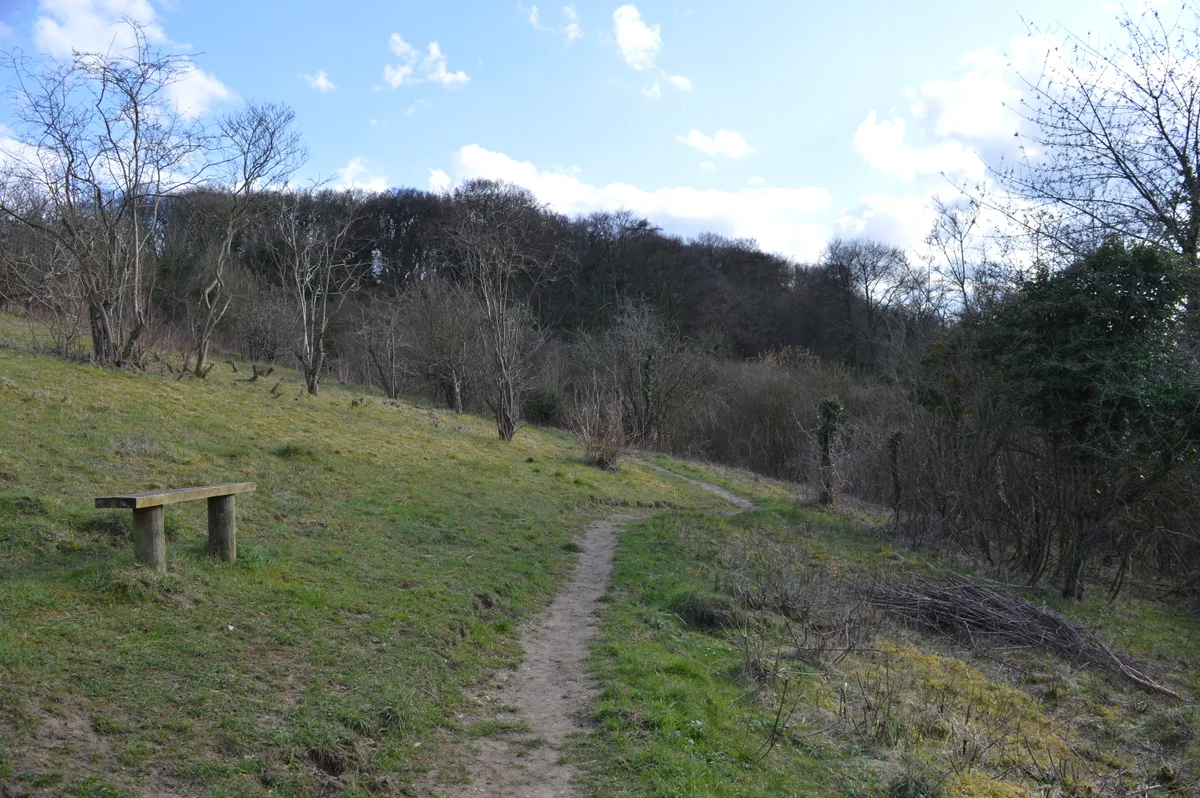
Flackwell Heath — village in Buckinghamshire, United Kingdom.

Wikimedia Commons contributors — see linked file page for photographer and licence licence
Plan your visit
- Typical visit
- 3 h–6 h
- Nearest railway station
- Bourne End · 2.7 km
- Free entry
- Family-friendly
- Dog-friendly
About
Flackwell Heath is a town, city, village or settlement in the United Kingdom. Recent population estimates put it at around 5,900 people. Address: HP10. Wikidata describes it as: "village in Buckinghamshire, United Kingdom". Coordinates: 51.6009°, -0.7120°.
Photo gallery
Protected designations
- Area of Outstanding Natural Beauty: Chilterns
Designations sourced from Natural England open data under OGL v3.
From the Wikipedia article
Flackwell Heath is a village in the civil parish of Chepping Wycombe on the outskirts of High Wycombe, Buckinghamshire, England. With an elevation of about 150 metres (490 ft), in the Chiltern Hills. It has a population of around 6000.
Excerpt from Wikipedia under CC BY-SA 4.0. See the source article linked in Sources below.
Background
History
The name 'Flackwell' is of dubious origin but may describe the source of a stream which once started in this area. The heath was once covered with cherry orchards, "a place of annual resort and festivity during the cherry season" with many cherry pickers traveling from London for the annual event. This is now commemorated in the name of a pub, the Carrington school emblem and in road names such as Cherrywood Gardens. The area covered by Flackwell Heath was once four villages; Flackwell Heath, North-End Woods, Heath End, and Sedgemoor. However, housing developments, particularly post-1945, meant the four eventually formed one large village: Flackwell Heath. The original villagers were in the…
Sourced from Wikipedia under CC BY-SA 4.0.
- Coordinates
- 51.6009, -0.7120
- District
- Buckinghamshire
- Parish
- Chepping Wycombe
- Postcode
- HP10
- Parliamentary constituency
- Beaconsfield
- Population
- 5,900
- Nearest railway station
- Bourne End — 2.7 km
Sources
- wikidata: Q747336 (CC0)
- wikipedia: Flackwell Heath (CC BY-SA 4.0)
- commons: Flackwell Heath - geograph.org.uk - 99269.jpg (CC BY-SA 4.0)
Other places nearby
Loading nearby places…
Nearby
 📷 5
📷 5Historic churches · West Midlands
HSJ Outreach Centre
HSJ Outreach Centre — a church in england-west-midlands, United Kingdom.
 📷 5
📷 5Cemeteries · South East England
Little Marlow Cemetery
Little Marlow Cemetery is a cemetery in the United Kingdom.
 📷 3
📷 3Public art & sculpture · West Midlands
Former Papermill Site
Former Papermill Site — a public art in england-west-midlands, United Kingdom.
 📷 3
📷 3Forests & woodlands · West Midlands
Gomm Valley
Gomm Valley is a forest or woodland in the United Kingdom.
 📷 5
📷 5Memorials & monuments · South East England
Wooburn War Memorial
Wooburn War Memorial — Grade II listed building-listed memorial in england-south-east, United Kingdom.
 📷 5
📷 5Wildlife reserves · West Midlands
Holtspur Bank
Holtspur Bank — local nature reserve in Buckinghamshire, England.
More towns in this region
 Flagship📷 3
Towns & cities · West Midlands
Adderbury
Adderbury — village and civil parish in Cherwell district, Oxfordshire, England.
 Flagship📷 3
Towns & cities · West Midlands
Admington
Admington — village in Warwickshire, England, UK.
 Flagship📷 3
Towns & cities · West Midlands
Aldington
Aldington — village in Worcestershire, United Kingdom.
 Flagship📷 5
Towns & cities · West Midlands
Anstey
Anstey — large village in Leicestershire, England.
Frequently asked questions
- Where is Flackwell Heath?
- Flackwell Heath is in the West Midlands, United Kingdom (postcode HP10), in the parish of Chepping Wycombe.
- Is Flackwell Heath a protected site?
- Yes — Flackwell Heath is part of the Chilterns National Landscape (AONB).
- Is Flackwell Heath free to visit?
- Yes, Flackwell Heath is free to enter.
- How do I get to Flackwell Heath?
- The nearest railway station is Bourne End, about 2.7 km away. Drivers can navigate to postcode HP10.