Mountains & hills · South East England
Firle Beacon
Firle Beacon — Named summit at 217 m.
Wikimedia Commons contributors — see linked file page for photographer and licence licence
Plan your visit
- Typical visit
- 3 h–8 h
- Best time of year
- Late spring – early autumn (May–Oct)
- Nearest railway station
- Glynde · 3.9 km
- Free entry
- Dog-friendly
About
Firle Beacon is a named summit in the United Kingdom. Wikidata describes it as: "Named summit at 217 m.". Coordinates: 50.8338°, 0.1082°.
Photo gallery
Protected designations
- Site of Special Scientific Interest: Firle Escarpment SSSI
Designations sourced from Natural England open data under OGL v3.
From the Wikipedia article
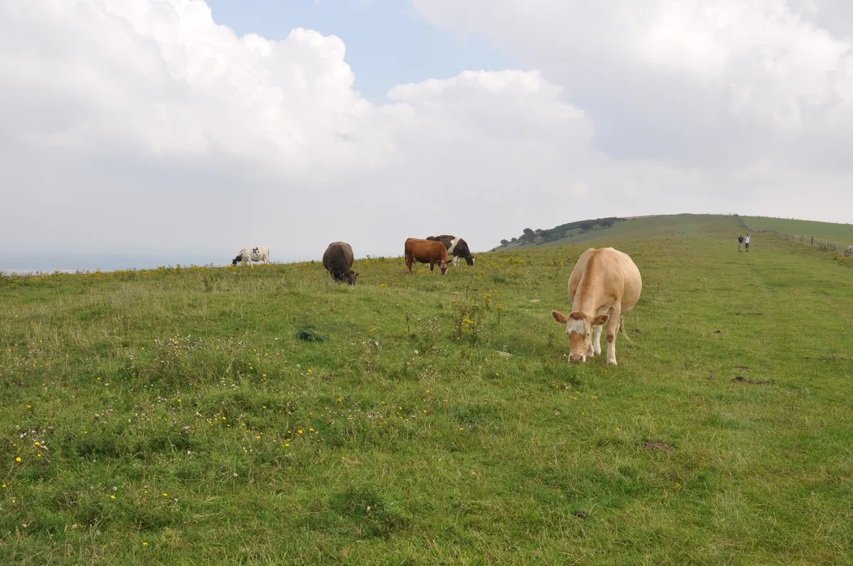
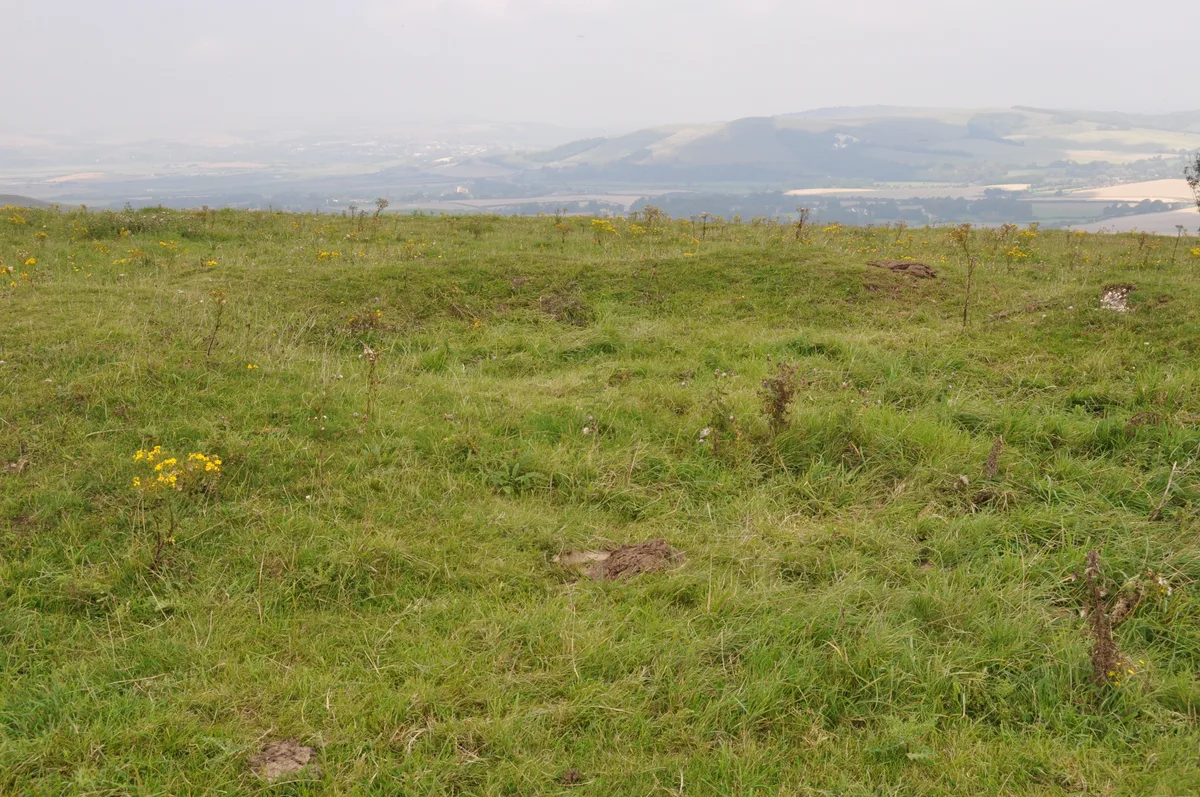
Firle Beacon is a hill in the South Downs of southern England. It is 217 metres high and is a Marilyn. It commands a far-reaching view. When the prevailing wind is northerly, the site is often used for gliding activities like slope soaring.
Excerpt from Wikipedia under CC BY-SA 4.0. See the source article linked in Sources below.
- Coordinates
- 50.8338, 0.1082
- County
- East Sussex
- District
- Wealden
- Parish
- Alciston
- Postcode
- BN26 6UL
- Parliamentary constituency
- Lewes
- Nearest railway station
- Glynde — 3.9 km
Sources
- osm: n9137750946 (ODbL)
- wikipedia: Firle Beacon (CC BY-SA 4.0)
- commons: Looking towards Firle Beacon - geograph.org.uk - 29384.jpg (CC BY-SA 4.0)
Other places nearby
Loading nearby places…
Nearby
 📷 5
📷 5Archaeological sites · South East England
Three hlaews 400m north east of Overhill Lodge
Three hlaews 400m north east of Overhill Lodge — archaeological site in Firle, Lewes, England, UK.
 📷 5
📷 5Museums · South East England
Charleston Farmhouse
Charleston, in East Sussex, is a property associated with the Bloomsbury group, that is open to the public. It was the country home of Vanessa Bell and Duncan Grant and is an example of their decorati
 📷 5
📷 5Museums · South East England
Firle
Firle (; Sussex dialect: Furrel ) is a village and civil parish in the Lewes district of East Sussex, England. Firle refers to an Old English word fierol meaning overgrown with oak. Although the orig
 📷 5
📷 5Museums · South East England
Charleston House
Charleston House — a museum in england-south-east, United Kingdom.
 📷 5
📷 5Follies · South East England
Firle Tower
Firle Tower — Folly or eyecatcher.
 📷 5
📷 5Archaeological sites · South East England
A saucer barrow, a bowl barrow and a pair of hlaews 350m north west of Overhill Lodge
A saucer barrow, a bowl barrow and a pair of hlaews 350m north west of Overhill Lodge — archaeological site in Firle, Lewes, England, UK.
More mountains in this region
 📷 5
📷 5Mountains & hills · South East England
Alum Bay
Alum Bay is a mountain or hill in the United Kingdom.
 📷 5
📷 5Mountains & hills · South East England
Arish Mell
Arish Mell — bay in Dorset, England.
 📷 5
📷 5Mountains & hills · South East England
Balaclava Bay
Balaclava Bay — bay in Dorset, England.
 📷 5
📷 5Mountains & hills · South East England
Balch Cave
Balch Cave — Cave in Somerset, England.
Frequently asked questions
- Where is Firle Beacon?
- Firle Beacon is in East Sussex, South-East England, United Kingdom (postcode BN26 6UL), in the parish of Alciston.
- Is Firle Beacon a protected site?
- Yes — Firle Beacon is part of the Firle Escarpment SSSI Site of Special Scientific Interest.
- Is Firle Beacon free to visit?
- Yes, Firle Beacon is free to enter.
- How do I get to Firle Beacon?
- The nearest railway station is Glynde, about 3.9 km away. Drivers can navigate to postcode BN26 6UL.