Museums · South West England
Emersons Green
Emersons Green (Emerson's Green on Ordnance Survey maps) is a suburban neighbourhood and civil parish in the South Gloucestershire district, of the county of Gloucestershire, England. It is part of th

Christine Johnstone — CC BY-SA 2.0 via Wikimedia Commons licence
Plan your visit
- Typical visit
- 1.5 h–3 h
- Best time of year
- Year-round
- Family-friendly
- Limited wheelchair access
About
Emersons Green (Emerson's Green on Ordnance Survey maps) is a suburban neighbourhood and civil parish in the South Gloucestershire district, of the county of Gloucestershire, England. It is part of the Greater Bristol area, and is 7 miles (11 km) northeast of Bristol city centre. The parish had a population of 17,317 at the 2021 census.
Photo gallery
From the Wikipedia article
Emersons Green (Emerson's Green on Ordnance Survey maps) is a suburban neighbourhood and civil parish in the South Gloucestershire district, of the county of Gloucestershire, England. It is part of the Greater Bristol area, and is 7 miles (11 km) northeast of Bristol city centre. The parish had a population of 17,317 at the 2021 census.
Excerpt from Wikipedia under CC BY-SA 4.0. See the source article linked in Sources below.
Background
History
Coal was mined in the area in the 19th century. To the south there is a quarry, which has been reactivated. The neighbourhood was developed in the 1990s and early 21st century on farmland formerly in the parish of Mangotsfield. A science and technology park, in conjunction with Bristol University and University of the West of England, has been built on an area of land adjacent to the M4 motorway and the A4174 ring road.
Sourced from Wikipedia under CC BY-SA 4.0.
- Coordinates
- 51.4950, -2.5050
- District
- South Gloucestershire
- Parish
- Downend and Bromley Heath
- Postcode
- BS16 6DX
- Parliamentary constituency
- Filton and Bradley Stoke
- Official site
- emersonsgreen-tc.gov.uk
Sources
- wikipedia: Emersons Green (CC BY-SA 4.0)
Other places nearby
Loading nearby places…
Nearby
 📷 3
📷 3Historic bridges · South West England
Cleeve Road Bridge And Abutments
Cleeve Road Bridge And Abutments — Grade II listed building-listed bridge in england-south-west, United Kingdom.
 📷 5
📷 5Cemeteries · South East England
Mangotsfield Cemetery
Mangotsfield Cemetery is a cemetery in the United Kingdom.
 📷 5
📷 5Memorials & monuments · South West England
Downend Boy Scouts' War Memorial
Downend Boy Scouts' War Memorial is a memorial in the United Kingdom.
 📷 3
📷 3Public art & sculpture · South West England
W G
W G — a public art in england-south-west, United Kingdom.
 📷 5
📷 5Historic churches · South West England
Frenchay
Frenchay is a village in South Gloucestershire, England. It is part of the Bristol Built-up Area, located 5 miles (8 km) north-east of Bristol city centre. Frenchay was designated as a conservation ar
 📷 4
📷 4Memorials & monuments · South West England
Francis Fox Tuckett
Francis Fox Tuckett — a memorial in england-south-west, United Kingdom.
More museums in this region
 📷 5
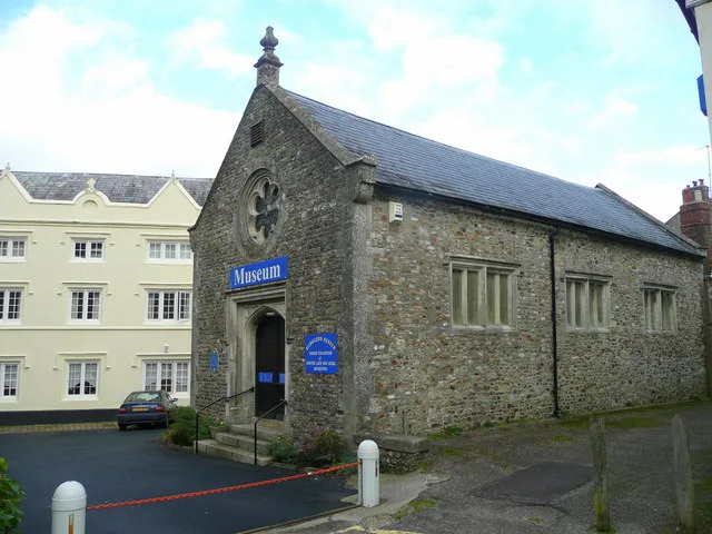
📷 5Museums · South West England
Allhallows Museum
Allhallows Museum — museum in Honiton, Devon, England, United Kingdom.
 📷 5
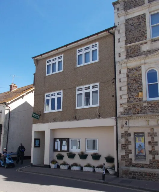
📷 5Museums · South West England
Axe Valley Heritage Museum
Axe Valley Heritage Museum — museum in Seaton, England, UK.
 📷 5
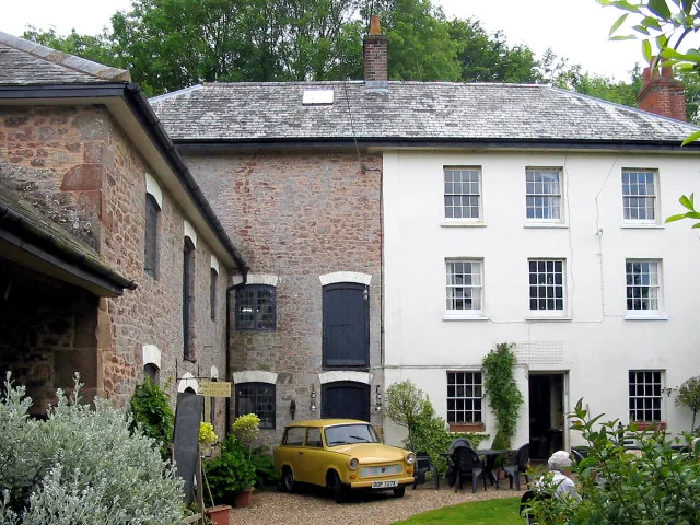
📷 5Museums · South West England
Bakelite Museum
Bakelite Museum is a museum in the United Kingdom.
 📷 5
📷 5Museums · South West England
Barometer World
Barometer World — former museum in Devon, England.
Frequently asked questions
- Where is Emersons Green?
- Emersons Green is in South West England, in the United Kingdom — coordinates 51.4950°, -2.5050°.
- Is Emersons Green wheelchair accessible?
- Partially — OpenStreetMap notes limited wheelchair access at Emersons Green. Check ahead for specific facilities.