Museums · South West England
Bristol city centre
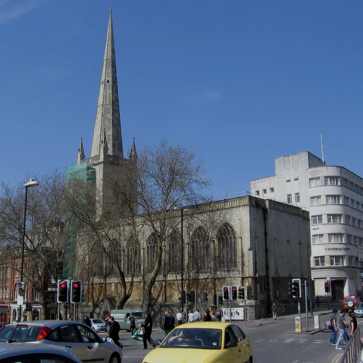
Bristol city centre is the commercial, cultural and business centre of Bristol, England. It is the area north of the New Cut of the River Avon, bounded by Clifton Wood and Clifton to the north-west, K

Stephen Craven — CC BY-SA 2.0 via Wikimedia Commons licence
Plan your visit
- Typical visit
- 1.5 h–3 h
- Best time of year
- Year-round
- Family-friendly
- Limited wheelchair access
About
Bristol city centre is the commercial, cultural and business centre of Bristol, England. It is the area north of the New Cut of the River Avon, bounded by Clifton Wood and Clifton to the north-west, Kingsdown and Cotham to the north, and St Pauls, Lawrence Hill and St Phillip's Marsh to the east. The Bristol Royal Infirmary, Bristol Royal Hospital for Children, BBC Broadcasting House, the main campus of the University of Bristol, Bristol Crown Court and Magistrate's Courts, Temple Meads railway station, Bristol bus station, the Park Street, Broadmead and Cabot Circus shopping areas together with numerous music venues, theatres and restaurants are located in this area. The area consists of the council wards of Central, Hotwells & Harbourside, and part of Lawrence Hill.
Photo gallery
From the Wikipedia article
Bristol city centre is the commercial, cultural and business centre of Bristol, England. It is the area north of the New Cut of the River Avon, bounded by Clifton Wood and Clifton to the north-west, Kingsdown and Cotham to the north, and St Pauls, Lawrence Hill and St Phillip's Marsh to the east. The Bristol Royal Infirmary, Bristol Royal Hospital for Children, BBC Broadcasting House, the main campus of the University of Bristol, Bristol Crown Court and Magistrate's Courts, Temple Meads railway station, Bristol bus station, the Park Street, Broadmead and Cabot Circus shopping areas together with numerous music venues, theatres and restaurants are located in this area. The area consists of the council wards of Central, Hotwells & Harbourside, and part of Lawrence Hill.
Excerpt from Wikipedia under CC BY-SA 4.0. See the source article linked in Sources below.
Background
History
The mediaeval heart of the city was immediately north of Bristol Bridge, between the River Frome and the River Avon, at the Bristol High Cross where the four cross streets High Street, Wine Street, Broad Street and Corn Street meet. The traditional view that this was also the Saxon centre was challenged in the 1970s by archaeology suggesting that Bristol's origins lay to the east of High Street in the area that is now Castle Park, but more recent Saxon finds around Small Street favour the earlier view. This was Bristol's pre-war central shopping district, a knot of ancient narrow streets including Wine Street, Mary le Port Street and Castle Street, which was severely damaged in 1940 during…
Description
The course of the River Frome, immediately to the west of the historic centre, was covered over in stages, in the second half of the 19th century. The area became the hub of the Bristol Tramways network, and was known as the Tramways Centre. It was so called long after the last trams left in 1941, but is now known simply as The Centre. Between 1936 and 1938, the Centre was enlarged when more of the River Frome, between Broad Quay and St Augustine's Parade, was covered in, making way for the Inner Circuit Road. The western side of the Inner Circuit Road has since been largely decommissioned, and recent works have rebalanced The Centre in favour of pedestrians, cyclists and public transport…
Sourced from Wikipedia under CC BY-SA 4.0.
- Coordinates
- 51.4536, -2.5913
- District
- Bristol, City of
- Parish
- Bristol, City of, unparished area
- Postcode
- BS1 4SB
- Parliamentary constituency
- Bristol Central
- Official site
- www.6oclockgin.com
Sources
- wikipedia: Bristol city centre (CC BY-SA 4.0)
Other places nearby
Loading nearby places…
Nearby
📷 4Historic bridges · South West England
Bristol Bridge
Bristol Bridge — a Grade II*-listed bridge in england-south-west, United Kingdom.
 📷 3
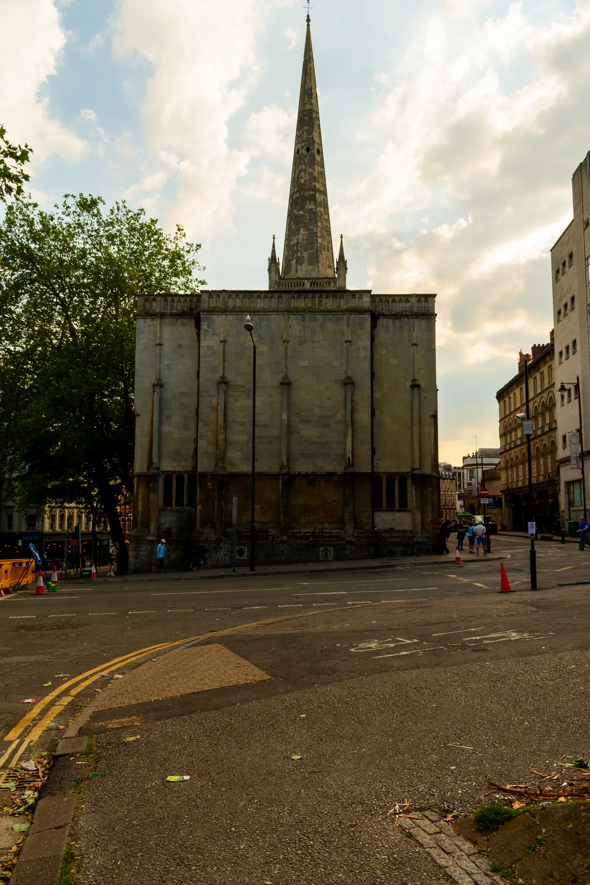
📷 3Historic churches · South West England
Sack Friary, Bristol
Sack Friary, Bristol — church building in City of Bristol, United Kingdom.
 📷 3
📷 3Maritime museums · South West England
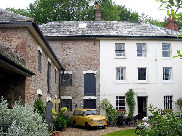
6 O'clock Gin at The Glassboat
6 O'clock Gin at The Glassboat — a maritime museum in england-south-west, United Kingdom.
 📷 5
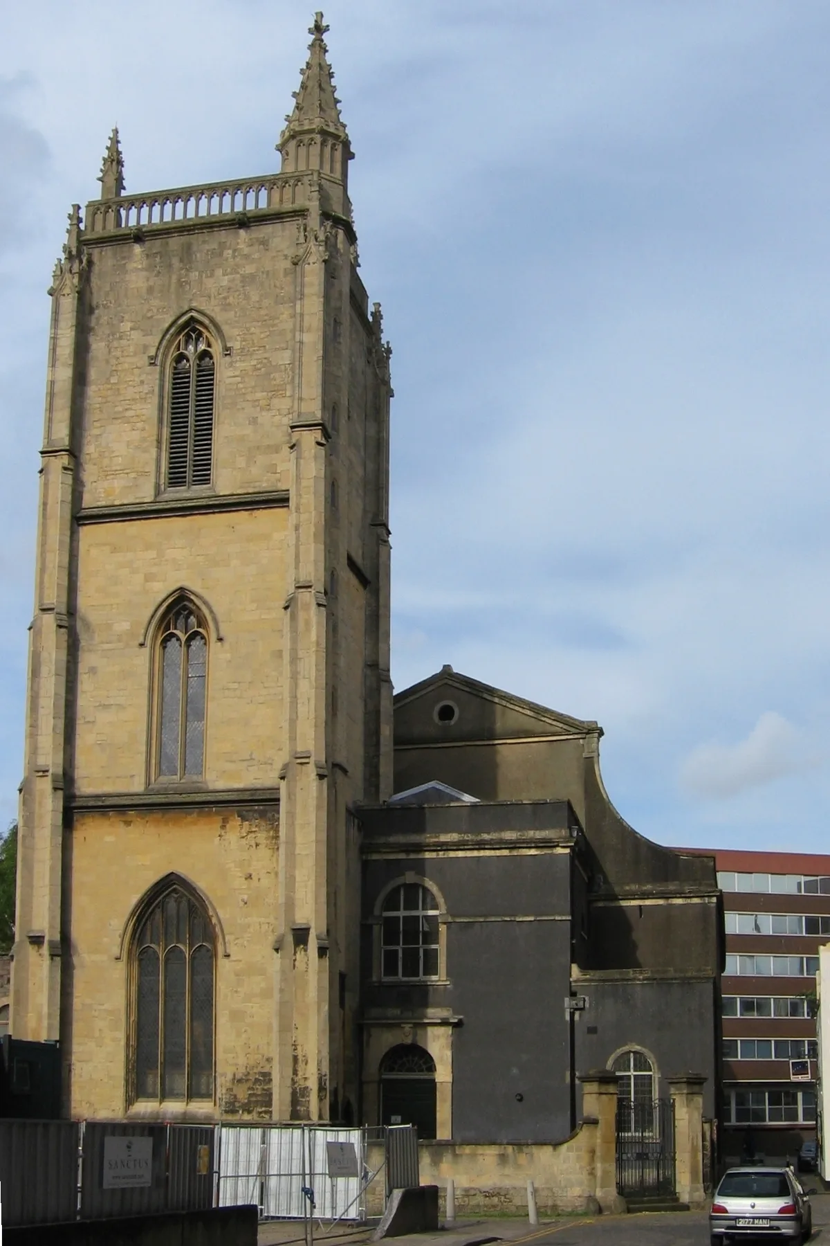
📷 5Historic churches · South West England
St Nicholas, Bristol
St Nicholas, Bristol — church in Bristol, England, UK.
 📷 3
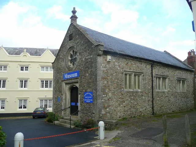
📷 3Museums · South West England
St. Nicholas Church Museum
St. Nicholas Church Museum — museum in Bristol, England, UK.
 📷 5
📷 5Historic churches · South West England
St Thomas the Martyr, Bristol
St Thomas the Martyr, Bristol — church in Bristol, England, UK.
More museums in this region
 📷 5
📷 5Museums · South West England
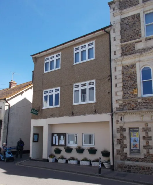
Allhallows Museum
Allhallows Museum — museum in Honiton, Devon, England, United Kingdom.
 📷 5
📷 5Museums · South West England
Axe Valley Heritage Museum
Axe Valley Heritage Museum — museum in Seaton, England, UK.
 📷 5
📷 5Museums · South West England
Bakelite Museum
Bakelite Museum is a museum in the United Kingdom.
 📷 5
📷 5Museums · South West England
Barometer World
Barometer World — former museum in Devon, England.
Frequently asked questions
- Where is Bristol city centre?
- Bristol city centre is in South West England, in the United Kingdom — coordinates 51.4536°, -2.5913°.
- Is Bristol city centre wheelchair accessible?
- Partially — OpenStreetMap notes limited wheelchair access at Bristol city centre. Check ahead for specific facilities.