Mountains & hills · Scottish Highlands
East Loch Tarbert
East Loch Tarbert — sea loch in Argyll and Bute, Scotland, UK.

Wikimedia Commons contributors — see linked file page for photographer and licence licence
Plan your visit
- Typical visit
- 3 h–8 h
- Best time of year
- Late spring – early autumn (May–Oct)
- Free entry
- Dog-friendly
About
East Loch Tarbert is a named summit in the United Kingdom. Wikidata describes it as: "sea loch in Argyll and Bute, Scotland, UK". Coordinates: 55.8667°, -5.4000°.
Photo gallery
From the Wikipedia article
East Loch Tarbert, Argyll is a small sea loch on the eastern side of the Kintyre Peninsula, in Argyll and Bute, west of Scotland. It is a part of the much larger Loch Fyne. The village of Tarbert is distributed along the shores of the loch. East Loch Tarbert is separated from West Loch Tarbert by an isthmus, that is only 1.5 kilometres (0.93 mi) long. According to Snorri Sturluson's Heimskringla, Magnus Barefoot, King of Norway, had his longship dragged across this isthmus as part of a campaign to increase his possessions in the Hebrides. He made an arrangement with King Malcolm III of Scotland that he could take possession of land on the west coast around which a ship could sail. Magnus declared that Kintyre had "better land than the best of the Hebrides", and by taking command of his ship's tiller and "sailing" across the isthmus he was able to claim the entire peninsula, which remained under Norse rule for more than a dozen years as a result. More than two centuries later Robert the Bruce completed a similar feat during the Scottish Wars of Independence in order to impress the clan chieftains of Argyll. He used tree trunks as rollers. In the 18th century Thomas Pennant recorded that sea-going vessels of up to 10 tonnes (9.8 long tons) were being hauled over the isthmus in order to avoid the dangers of storms and tidal races in the seas surrounding the Mull of Kintyre. James Watt surveyed the area and decided that it was feasible to construct a canal between the two lochs. Some 60 years later it was estimated that the cost for a cut without locks would be £90,000 but delays in implementation and the construction of the Crinan canal in 1801 rendered the plan redundant. In the modern era the Tarbert (Loch Fyne) Harbour Commissioners control the loch, an area defined as "from the point of Garvell on the North, to the Oakenhead or Rudha Loigste point on the South". There are various quays and slipways in the inner harbour and 80 pontoon berths for yachts and other…
Excerpt from Wikipedia under CC BY-SA 4.0. See the source article linked in Sources below.
- Coordinates
- 55.8667, -5.4000
- District
- Argyll and Bute
- Postcode
- PA29 6UF
- Parliamentary constituency
- Argyll, Bute and South Lochaber
Sources
- wikidata: Q5328855 (CC0)
- wikipedia: East Loch Tarbert, Argyll (CC BY-SA 4.0)
- commons: Tarbert.JPG (CC BY-SA 4.0)
Featured in this guide
Other places nearby
Loading nearby places…
Nearby
 📷 3
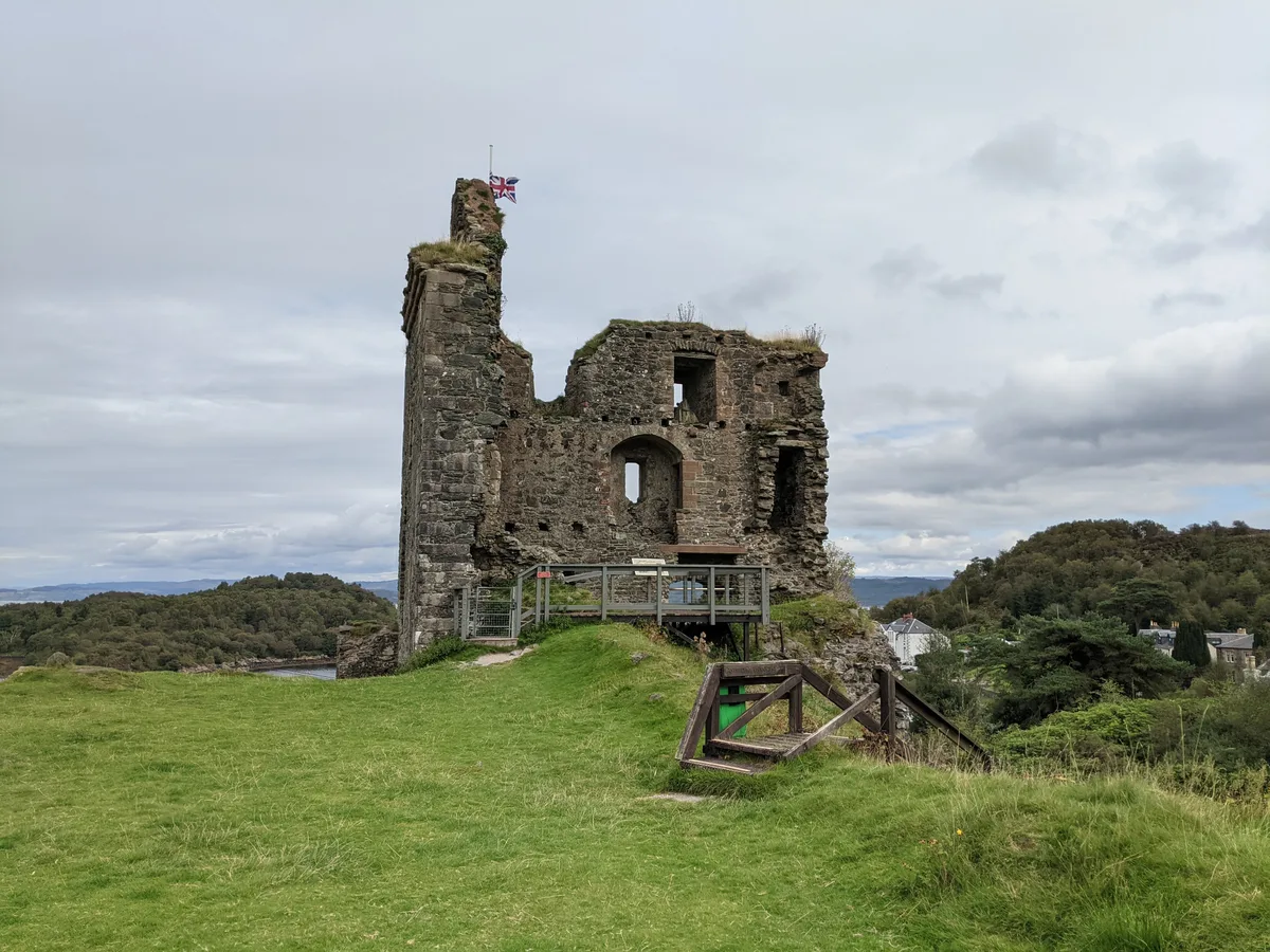
📷 3Castles · Scottish Highlands
Tarbert Castle
Tarbert Castle — castle in Argyll and Bute, Scotland, UK.
 📷 5
📷 5Other places · Scottish Islands
Kintyre Way
Kintyre Way in Inner Hebrides + Skye, United Kingdom.
 📷 4
📷 4Historic churches · Scottish Islands
Tarbert Parish Church
Tarbert Parish Church in Inner Hebrides + Skye, United Kingdom.
 📷 4
📷 4Islands · Scottish Islands
Barmore Island
Barmore Island in Inner Hebrides + Skye, United Kingdom.
 📷 3
📷 3Manor houses · Scottish Highlands
Stonefield Castle Hotel
Stonefield Castle Hotel — a manor in scotland-highlands, United Kingdom.
📷 5Castles · Scottish Islands
Stonefield Castle
Stonefield Castle in Inner Hebrides + Skye, United Kingdom.
More mountains in this region
 📷 3
📷 3Mountains & hills · Scottish Highlands
A' Bhuidheanach Bheag
A' Bhuidheanach Bheag — Named summit at 936 m.
 📷 3
📷 3Mountains & hills · Scottish Highlands
A' Chailleach
A' Chailleach — Named summit at 997 m.
 📷 3
📷 3Mountains & hills · Scottish Highlands
A' Chailleach
A' Chailleach — Named summit at 930 m.
 📷 3
📷 3Mountains & hills · Scottish Highlands
A' Chaoirnich
A' Chaoirnich — Named summit at 875 m.
Frequently asked questions
- Where is East Loch Tarbert?
- East Loch Tarbert is in the Scottish Highlands, United Kingdom (postcode PA29 6UF).
- Is East Loch Tarbert free to visit?
- Yes, East Loch Tarbert is free to enter.
- How do I get to East Loch Tarbert?
- Drivers can navigate to postcode PA29 6UF. It sits within the Argyll, Bute and South Lochaber parliamentary constituency.