Hill forts · London
Durobrivae
Durobrivae — Roman fortified garrison town at Water Newton in Cambridgeshire, England, UK.

Wikimedia Commons contributors — see linked file page for photographer and licence licence
.jpg)
Plan your visit
- Typical visit
- 1 h–2 h
- Nearest railway station
- Gunwade (FMR) · 2.7 km
- Free entry
- Dog-friendly
About
Durobrivae is a hill fort in the United Kingdom. Heritage designation: scheduled monument. Wikidata describes it as: "Roman fortified garrison town at Water Newton in Cambridgeshire, England, UK". Coordinates: 52.5599°, -0.3512°.
Photo gallery
From the Wikipedia article
Durobrivae was a Roman fortified garrison town located at Water Newton in the English county of Cambridgeshire, where Ermine Street crossed the River Nene. More generally, it was in the territory of the Corieltauvi in a region of villas and commercial potteries. The name is a Latinisation of Celtic (or more accurately Brythonic) *Durobrīwās, meaning essentially "fort (by the) bridges". During the Iron Age Britain was divided into distinct tribal areas. The area lay between the Catuvellauni to the south and the Corieltauvi to the north, with the Iceni to the east. The origin of Durobrivae is said to have been as a vicus attached to a "pre-Flavian" fort, established about half a kilometre to the east of modern Water Newton, between the Claudian invasion of 43 AD, and the beginning of the reign of Vespasian in 69 AD. Its first historical mention is in the Antonine Itinerary of the late 2nd century. Archaeology of the Roman period shows that Durobrivae was then the production centre for a fine tableware known as Nene Valley Colour Coated Ware, from the 2nd century to the 4th. In Anglo-Saxon times, local settlement came to centre on Medeshamstede, now known as Peterborough.
Excerpt from Wikipedia under CC BY-SA 4.0. See the source article linked in Sources below.
- Coordinates
- 52.5599, -0.3512
- District
- Peterborough
- Parish
- Castor
- Postcode
- PE5 7BT
- Parliamentary constituency
- North West Cambridgeshire
- Nearest railway station
- Gunwade (FMR) — 2.7 km
Sources
- wikidata: Q1267429 (CC0)
- wikipedia: Durobrivae (Water Newton) (CC BY-SA 4.0)
- commons: Grass field at Water Newton (geograph 6889988).jpg (CC BY-SA 4.0)
Other places nearby
Loading nearby places…
Nearby
 📷 5
📷 5Follies · London
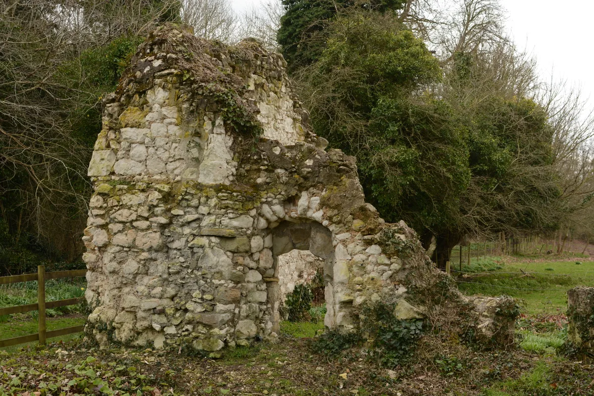
Roman temple at Area P, Durobrivae
Roman temple at Area P, Durobrivae — a temple folly in england-london, United Kingdom.
📷 5Archaeological sites · London
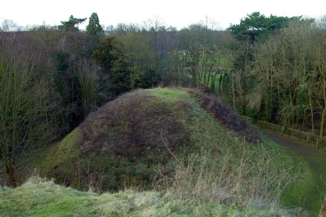
Durobrivae, Roman Town
Durobrivae, Roman Town — a archaeological in england-london, United Kingdom.
.jpg?width=1200) 📷 5
📷 5Mills · London
Castor Mill
Castor Mill — mill in Castor, Peterborough, Cambridgeshire, England, UK.
 📷 5
📷 5Windmills · London
Wind Mill About 150 Yds South East Of Castor Mill
Wind Mill About 150 Yds South East Of Castor Mill — Grade II listed building-listed windmill in england-london, United Kingdom.
 📷 5
📷 5Follies · London
Roman temple at Castor villa
Roman temple at Castor villa — a temple folly in england-london, United Kingdom.
 📷 5
📷 5Historic churches · London
Church of St Kyneburgha, Castor
Church of St Kyneburgha, Castor — Grade I listed building-listed church in england-london, United Kingdom.
More places in this region
 📷 5
📷 5Hill forts · London
Ankerwycke Priory
Ankerwycke Priory — Benedictine nunnery with associated moat and fishponds.
 📷 5
📷 5Hill forts · London
Bartlow Hills
Bartlow Hills — Roman tumuli cemetery in Bartlow (Cambridgeshire, UK).
 📷 5
📷 5Hill forts · London
Bedford Castle
Bedford Castle — castle in Bedfordshire, England, UK.
.jpg?width=1200) 📷 5
📷 5Hill forts · London
Beech Bottom Dyke
Beech Bottom Dyke — Iron Age ditch in St Albans, Hertfordshire, England, UK.
Frequently asked questions
- Where is Durobrivae?
- Durobrivae is in London, United Kingdom (postcode PE5 7BT), in the parish of Castor.
- Is Durobrivae a listed building?
- Durobrivae is officially recognised as scheduled monument listed.
- Is Durobrivae free to visit?
- Yes, Durobrivae is free to enter.
- How do I get to Durobrivae?
- The nearest railway station is Gunwade (FMR), about 2.7 km away. Drivers can navigate to postcode PE5 7BT.