Mountains & hills · Central Scotland
Duncolm
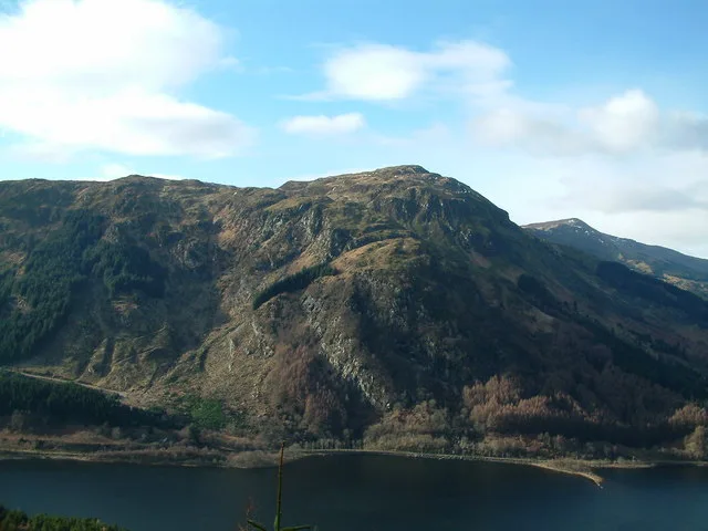
Duncolm — Named summit at 401 m.

Wikimedia Commons contributors — see linked file page for photographer and licence licence
Plan your visit
- Typical visit
- 3 h–8 h
- Best time of year
- Late spring – early autumn (May–Oct)
- Nearest railway station
- Kilpatrick · 4.7 km
- Free entry
- Dog-friendly
About
Duncolm is a named summit in the United Kingdom. Wikidata describes it as: "Named summit at 401 m.". Coordinates: 55.9660°, -4.4515°.
Photo gallery
From the Wikipedia article
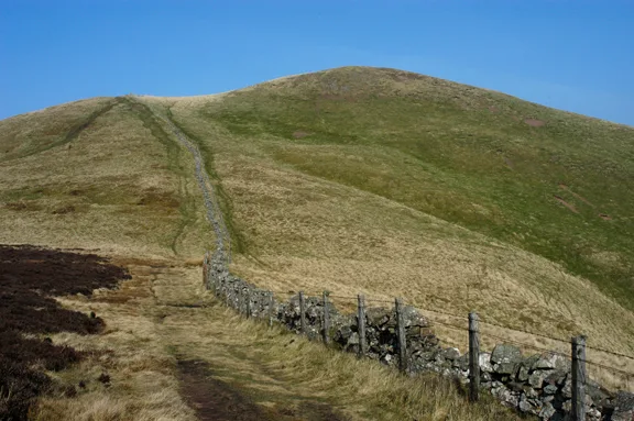
Duncolm (Scottish Gaelic: Dùn Choluim) is a hill in Scotland. It is the highest point in both West Dunbartonshire and the Kilpatrick Hills, at an elevation of 401 metres (1,316 ft). Its name means "Fort of Columba". It lies near Loch Humphrey. There is an easy path to the summit from the south-west, which passes over two subsidiary peaks, Little Duncolm and Middle Duncolm.
Excerpt from Wikipedia under CC BY-SA 4.0. See the source article linked in Sources below.
- Coordinates
- 55.9660, -4.4515
- Nearest railway station
- Kilpatrick — 4.7 km
Sources
- osm: n3100590733 (ODbL)
- wikipedia: Duncolm (CC BY-SA 4.0)
- commons: Duncolm.jpg (CC BY-SA 4.0)
Other places nearby
Loading nearby places…
Nearby
 📷 3
📷 3Historic houses · Central Scotland
Burncrooks
Burncrooks — a historic house in scotland-central, United Kingdom.
 📷 3
📷 3Follies · Central Scotland
Chambered tomb
Chambered tomb is a folly in the United Kingdom.
Climbing & bouldering crags · Central Scotland
The Whangie
The Whangie — a climbing crag in scotland central.
 📷 3
📷 3Viewpoints · Central Scotland
Auchineden
Auchineden — Named viewpoint at 357 m elevation.
Vineyards · Central Scotland
Hill of Dun
Hill of Dun — a UK vineyard in scotland central, producing English or Welsh wine from cool-climate grape varieties.
 📷 3
📷 3Archaeological sites · Central Scotland
Hill of Dun, dun site
Hill of Dun, dun site — a archaeological in scotland-central, United Kingdom.
More mountains in this region
 📷 3
📷 3Mountains & hills · Central Scotland
Abbey Hill
Abbey Hill — Named summit at 278 m.
 📷 3
📷 3Mountains & hills · Central Scotland
Aberlady Bay
Aberlady Bay — bay on the north coast of East Lothian, Scotland, UK.
 📷 3
📷 3Mountains & hills · Central Scotland
Allermuir Hill
Allermuir Hill — Named summit at 493 m.
 📷 3
📷 3Mountains & hills · Central Scotland
Ardnandave
Ardnandave — Named summit at 715 m.
Frequently asked questions
- Where is Duncolm?
- Duncolm is in central Scotland, United Kingdom.
- Is Duncolm free to visit?
- Yes, Duncolm is free to enter.
- How do I get to Duncolm?
- The nearest railway station is Kilpatrick, about 4.7 km away.