Hill forts · Scottish Highlands
Dun Telve
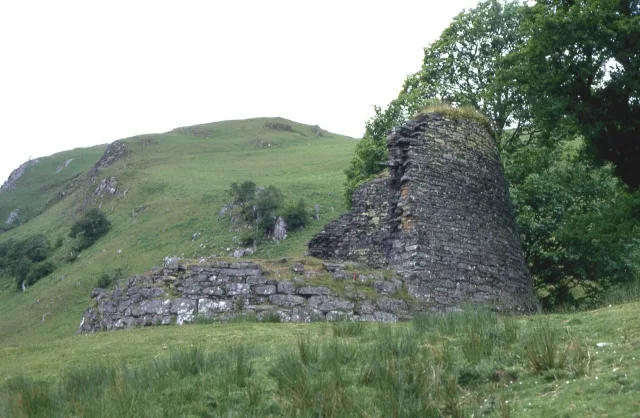
Dun Telve — iron-age broch located about 4 kilometres southeast of the village of Glenelg, in Scotland, UK.

Wikimedia Commons contributors — see linked file page for photographer and licence licence
Plan your visit
- Typical visit
- 1 h–2 h
- Free entry
- Family-friendly
- Dog-friendly
- Limited wheelchair access
About
Dun Telve is a hill fort in the United Kingdom. Heritage designation: part of a Scheduled Monument. Owned by Historic Environment Scotland. Managed by Historic Environment Scotland. Part of Glenelg Brochs. Wikidata describes it as: "iron-age broch located about 4 kilometres southeast of the village of Glenelg, in Scotland, UK". Coordinates: 57.1945°, -5.5949°.
Photo gallery
From the Wikipedia article
Dun Telve (Scottish Gaelic: Dùn Teilbh) is an iron-age broch located about four kilometres (2.5 mi) southeast of Kirkton, the main village of the community of Glenelg, Inverness-shire in the Highland Region of Scotland. It is one of the best preserved brochs in Scotland.
Excerpt from Wikipedia under CC BY-SA 4.0. See the source article linked in Sources below.
Background
History
The brochs date from the Iron Age, approximately 2000 years ago. It is thought that the broch was robbed for stone in 1722 (probably for the building of Bernera Barracks in Glenelg). Dun Telve was popular with tourists by the late 18th century, and was first sketched in the late 18th century. It was surveyed in detail in 1871–1873 by Henry Dryden. The building was brought into state care between 1882 and 1901 and the boundary markers that define the area of guardianship are still visible. Around 1914 a programme of works was undertaken by the Office of Works which included "clearing out" the interior, inserting concrete into the upper intramural space and pointing the internal wall-face.…
Description
The broch consists of a drystone tower which measures 18.3 m in diameter, and currently stands to a maximum height of 10.2 m to the west and northwest. A doorway on the north side of the interior of the broch provides access first to an internal cell and then to the intramural space that narrows as it rises through to the top of the surviving wall. Access up the tower is by a winding stone stair, and openings at intervals once gave access to the upper floors. The presence of two horizontal stone ledges, or scarcements, up the height of the surviving section suggests that there were two upper floors. The top floor would have been around 9 m above ground level. Structures appended to the west…
Sourced from Wikipedia under CC BY-SA 4.0.
- Coordinates
- 57.1945, -5.5949
- District
- Highland
- Postcode
- IV40 8JX
- Parliamentary constituency
- Inverness, Skye and West Ross-shire
- Official site
- www.historicenvironment.scot
Sources
- wikidata: Q3342584 (CC0)
- wikipedia: Dun Telve (CC BY-SA 4.0)
- commons: Dun Telve - geograph.org.uk - 188336.jpg (CC BY-SA 4.0)
Other places nearby
Loading nearby places…
Nearby
 📷 3
📷 3Natural landmarks · Scottish Highlands
Dun Telve (Broch)
Dun Telve (Broch) — a other in scotland-highlands, United Kingdom.
 📷 3
📷 3Natural landmarks · Scottish Highlands
Dun Troddan (Broch)
Dun Troddan (Broch) — a other in scotland-highlands, United Kingdom.
 📷 5
📷 5Hill forts · Scottish Highlands
Dun Troddan
Dun Troddan — iron-age broch located about 5 kilometres southeast of the village of Glenelg, in Scotland, UK.
 📷 3
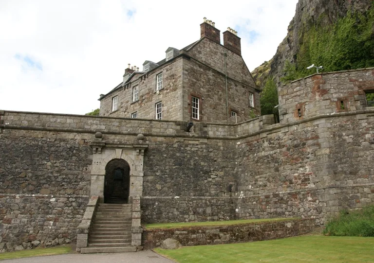
📷 3Castles · Scottish Highlands
Castle Chalamine, dun site
Castle Chalamine, dun site — a castle in scotland-highlands, United Kingdom.
 📷 4
📷 4Mountains & hills · Scottish Highlands
Beinn a' Chapuill
Beinn a' Chapuill in Scotland Islands, United Kingdom.
 📷 4
📷 4Other places · Scottish Highlands
Dun Grugaig
Dun Grugaig in Scotland Islands, United Kingdom.
More places run by Historic Environment Scotland
 📷 5
📷 5Castles · Scottish Highlands
Castle Sween
Castle Sween — stone castle on the eastern shore of Loch Sween, Knapdale.
 📷 5
📷 5Castles · Scottish Highlands
Corgarff Castle
Corgarff Castle — castle and military museum in Aberdeenshire, Scotland, UK.
 📷 3
📷 3Museums · Scottish Highlands
Duff House
Duff House — estate house in Banff, Aberdeenshire, Scotland, UK.
 📷 3
📷 3Castles · Scottish Highlands
Dumbarton Castle
Dumbarton Castle — castle in West Dunbartonshire, Scotland, UK.
More places in this region
 📷 3
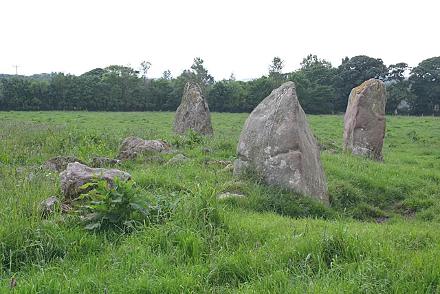
📷 3Hill forts · Scottish Highlands
Aquhorthies stone circle
Aquhorthies stone circle — architectural structure in Aberdeenshire, Scotland, UK.
 📷 3
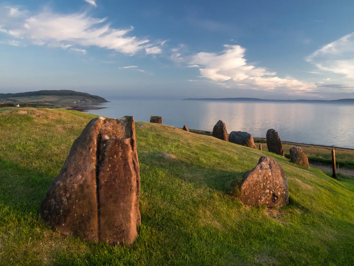
📷 3Hill forts · Scottish Highlands
Auchagallon Stone Circle
Auchagallon Stone Circle — archaeological site in North Ayrshire, Scotland, UK.
 📷 3
📷 3Hill forts · Scottish Highlands
Auchinhove
Auchinhove — archaeological site in Moray, Scotland, UK.
 📷 3
📷 3Hill forts · Scottish Highlands
Balbridie
Balbridie — Neolithic timber hall remains in Aberdeenshire, Scotland, UK.
Frequently asked questions
- Where is Dun Telve?
- Dun Telve is in the Scottish Highlands, United Kingdom (postcode IV40 8JX).
- Who runs Dun Telve?
- Dun Telve is operated by Historic Environment Scotland.
- Is Dun Telve a listed building?
- Dun Telve is officially recognised as part of a Scheduled Monument listed.
- Is Dun Telve free to visit?
- Yes, Dun Telve is free to enter.
- How do I get to Dun Telve?
- Drivers can navigate to postcode IV40 8JX. It sits within the Inverness, Skye and West Ross-shire parliamentary constituency.