Hill forts · South East England
Dubris
Dubris — ancient port in Roman Britain, in Dover, Kent.

Wikimedia Commons contributors — see linked file page for photographer and licence licence
Plan your visit
- Typical visit
- 1 h–2 h
- Nearest railway station
- Dover Priory · 1.3 km
- Free entry
- Family-friendly
- Dog-friendly
About
Dubris is a hill fort in the United Kingdom. Part of Saxon Shore. Wikidata describes it as: "ancient port in Roman Britain, in Dover, Kent". Coordinates: 51.1285°, 1.3230°.
Photo gallery
Protected designations
- Area of Outstanding Natural Beauty: Kent Downs
Designations sourced from Natural England open data under OGL v3.
From the Wikipedia article
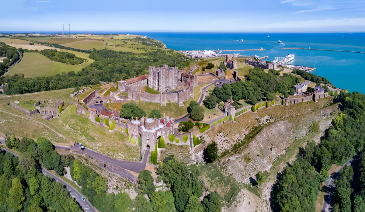
Dubris, also known as Portus Dubris and Dubrae, was a port in Roman Britain on the site of present-day Dover, Kent, England. As the closest point to continental Europe and the site of the estuary of the Dour, the site chosen for Dover was ideal for a cross-channel port. The Dour is now covered over for much of its course through the town. In the Roman era, it grew into an important military, mercantile and cross-channel harbour and — with Rutupiae (Richborough Roman fort) — one of the two starting points of the road later known as Watling Street. It was fortified and garrisoned initially by the Classis Britannica, and later by troops based in a Saxon Shore Fort.
Excerpt from Wikipedia under CC BY-SA 4.0. See the source article linked in Sources below.
- Coordinates
- 51.1285, 1.3230
- County
- Kent
- District
- Dover
- Parish
- Dover
- Postcode
- CT16 1HU
- Parliamentary constituency
- Dover and Deal
- Nearest railway station
- Dover Priory — 1.3 km
- Official site
- www.english-heritage.org.uk
Sources
- wikidata: Q2105460 (CC0)
- wikipedia: Dubris (CC BY-SA 4.0)
- commons: View South from Dover Castle keep.jpg (CC BY-SA 4.0)
Other places nearby
Loading nearby places…
Nearby
 📷 5
📷 5Lighthouses · South East England
Dubris Pharos
Dubris Pharos — Roman lighthouse in Dover, England.
 📷 5
📷 5Castles · South East England
Dover Castle
Dover Castle — medieval castle in Dover, Kent, England, UK.
 📷 5
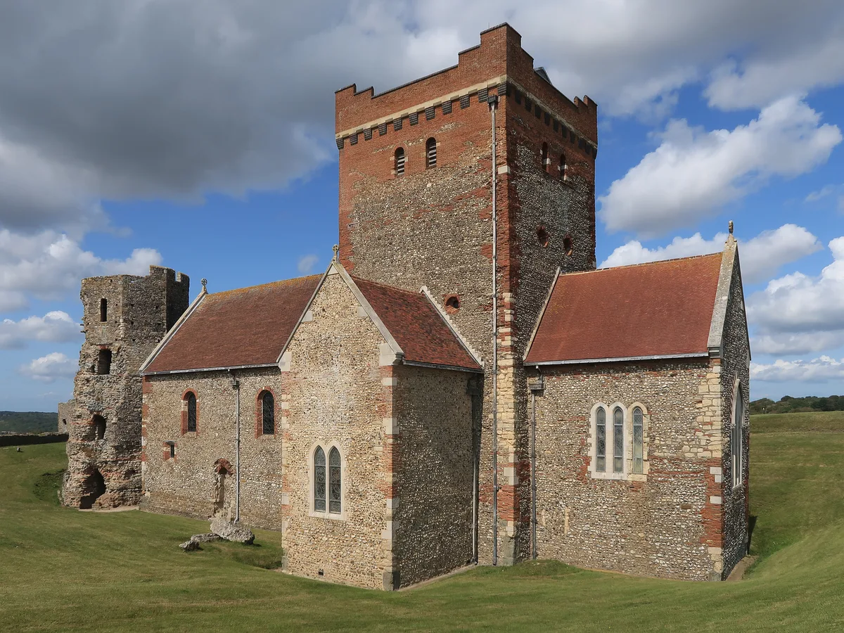
📷 5Historic churches · South East England
St Mary sub Castro, Dover
St Mary sub Castro, Dover is a historic church in the United Kingdom.
 📷 5
📷 5Historic houses · South East England
Queen Elizabeth's Pocket Pistol
Queen Elizabeth's Pocket Pistol — a Grade II*-listed historic house in england-south-east, United Kingdom.
 📷 5
📷 5Museums · South East England
Arthur's Hall
Arthur's Hall — a museum in england-south-east, United Kingdom.
 📷 5
📷 5Museums · South East England
PWRR & Queens Regiment Museum
PWRR & Queens Regiment Museum — a museum in england-south-east, United Kingdom.
More places in this region
 Flagship📷 10
Hill forts · South East England
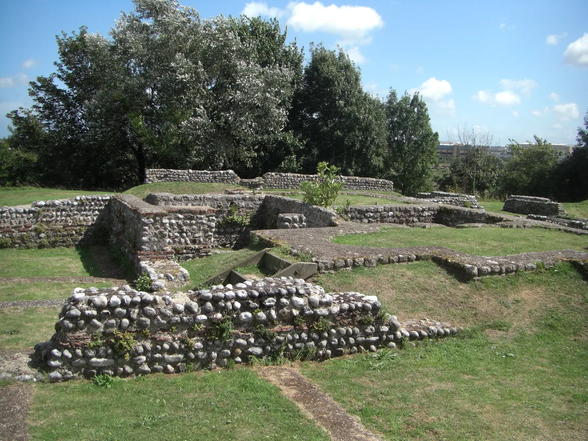
Castrum Anderitum
Castrum Anderitum — 3rd century Roman fort in the province of Britannia.
 Flagship📷 10
Hill forts · South East England
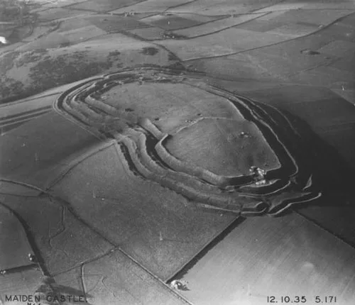
Maiden Castle
Maiden Castle — Iron Age hill fort in Dorset, England, UK.
 Flagship📷 10
Hill forts · South East England
Portus Adurni
Portus Adurni is a hill fort in the United Kingdom.
 Flagship📷 10
Hill forts · South East England
Richborough Roman Fort
Richborough Roman Fort — Roman fort at Richborough, Ash, United Kingdom.
Frequently asked questions
- Where is Dubris?
- Dubris is in Kent, South-East England, United Kingdom (postcode CT16 1HU), in the parish of Dover.
- Is Dubris a protected site?
- Yes — Dubris is part of the Kent Downs National Landscape (AONB).
- Is Dubris free to visit?
- Yes, Dubris is free to enter.
- How do I get to Dubris?
- The nearest railway station is Dover Priory, about 1.3 km away. Drivers can navigate to postcode CT16 1HU.