Hill forts · South West England
Drizzlecombe
Drizzlecombe — area in Dartmoor of archaeological significance.

Wikimedia Commons contributors — see linked file page for photographer and licence licence
Plan your visit
- Typical visit
- 1 h–2 h
- Free entry
- Dog-friendly
About
Drizzlecombe is a hill fort in the United Kingdom. Wikidata describes it as: "area in Dartmoor of archaeological significance". Coordinates: 50.4844°, -3.9881°.
Photo gallery
Protected designations
- Site of Special Scientific Interest: South Dartmoor SSSI
Designations sourced from Natural England open data under OGL v3.
From the Wikipedia article
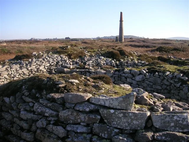
Drizzlecombe or Thrushelcombe is an area of Dartmoor in the county of Devon, England, containing a number of Bronze Age stone rows, cairns and menhirs. There are three principal stone rows each with an associated barrow and terminal menhir. Most of the artifacts are on the southwest slope of Hartor Hill. The tallest menhir, which at 14 ft (4.3 m) high is the largest on Dartmoor, was re-erected by Sabine Baring-Gould, R. Hansford Worth and others in 1893. Drizzlecombe is located on the western side of Dartmoor, about 4 miles (6.4 km) east of the village of Yelverton, to the west of the upper reaches of the River Plym. Nearby is the large but damaged cairn known as Giant's Basin; many of its stones were removed by warreners to build their rabbit-warrens at Ditsworthy, lower down the river. Higher up the slope and overlooking these monuments is a village of stone hut circles, akin to the one at Grimspound. To the north-east lie the extensive remains of Eylesbarrow tin mine and north-west is the concentric Yellowmead stone circle. The area also includes the Neolithic Dartmoor kistvaens, or tombs.
Excerpt from Wikipedia under CC BY-SA 4.0. See the source article linked in Sources below.
- Coordinates
- 50.4844, -3.9881
- County
- Devon
- District
- West Devon
- Parish
- Sheepstor
- Postcode
- PL20 6PG
- Parliamentary constituency
- South West Devon
Sources
- wikidata: Q950572 (CC0)
- wikipedia: Drizzlecombe (CC BY-SA 4.0)
- commons: Drizzlecombe kist 5.JPG (CC BY-SA 4.0)
Other places nearby
Loading nearby places…
Nearby
 📷 3
📷 3Archaeological sites · South West England
Drizzlecombe South Row
Drizzlecombe South Row — a archaeological in england-south-west, United Kingdom.
 📷 3
📷 3Archaeological sites · South West England
Giants Basin
Giants Basin — a archaeological in england-south-west, United Kingdom.
📷 3Archaeological sites · South West England
Drizzlecombe East Row
Drizzlecombe East Row — a archaeological in england-south-west, United Kingdom.
📷 3Archaeological sites · South West England
Drizzlecombe Bronze Age Complex
Drizzlecombe Bronze Age Complex — a archaeological in england-south-west, United Kingdom.
 📷 3
📷 3Archaeological sites · South West England
Mill remains.
Mill remains. — a archaeological in england-south-west, United Kingdom.
 📷 3
📷 3Archaeological sites · South West England
Tin Workings
Tin Workings — a archaeological in england-south-west, United Kingdom.
More places in this region
 📷 5
📷 5Hill forts · South West England
Ballowall Barrow
Ballowall Barrow — archaeological site in St Just, Cornwall, England, UK.
 📷 5
📷 5Hill forts · South West England
Barnstaple Castle
Barnstaple Castle — castle in Devon, England, UK.
 📷 5
📷 5Hill forts · South West England
Bartinney Castle
Bartinney Castle — Iron Age enclosure in Cornwall, England, UK.
 📷 5
📷 5Hill forts · South West England
Berry's Wood
Berry's Wood — iron Age hill fort in south Devon, England, UK.
Frequently asked questions
- Where is Drizzlecombe?
- Drizzlecombe is in Devon, South-West England, United Kingdom (postcode PL20 6PG), in the parish of Sheepstor.
- Is Drizzlecombe a protected site?
- Yes — Drizzlecombe is part of the South Dartmoor SSSI Site of Special Scientific Interest.
- Is Drizzlecombe free to visit?
- Yes, Drizzlecombe is free to enter.
- How do I get to Drizzlecombe?
- Drivers can navigate to postcode PL20 6PG. It sits within the South West Devon parliamentary constituency.