Reservoirs & lochs · West Midlands
Draycote Water
Draycote Water — reservoir in the United Kingdom.

Wikimedia Commons contributors — see linked file page for photographer and licence licence
Plan your visit
- Typical visit
- 1 h–2.5 h
- Nearest railway station
- Rugby · 9.2 km
- Free entry
- Dog-friendly
About
Draycote Water is a reservoir in the United Kingdom. It covers approximately 244 km². Wikidata describes it as: "reservoir in the United Kingdom". Coordinates: 52.3173°, -1.3413°.
Photo gallery
From the Wikipedia article
Draycote Water is a 240-hectare (590-acre) reservoir and country park near the village of Dunchurch, 3.75 miles (6 km) south of Rugby in Warwickshire, England, owned and operated by Severn Trent Water. It draws its water from the River Leam, and supplies drinking water to Rugby and Coventry. It is named after the nearby hamlet of Draycote and is the largest body of water within Warwickshire. The reservoir was created in the 1960s and was opened in 1970, with a new pipe and pump installed in 2012. It has a capacity of up to 5 billion gallons (23 million m³) and a maximum depth of 70 feet (21 m). It is a site for birdwatching and has a bird hide, with a feeding station sponsored by the West Midland Bird Club. Severn-Trent manage an adjacent 20 acres (8 ha) country park. Draycote is used by cyclists, runners, windsurfers, fly fishers and for boating. Fishing is for brown trout and rainbow trout from the banks or from boats. A farm to the north east of the site has a herd of alpacas.
Excerpt from Wikipedia under CC BY-SA 4.0. See the source article linked in Sources below.
Background
Description
Draycote Water is an artificial reservoir, which supplies water to southern and eastern Warwickshire, in particular Rugby (via Barby Storage Reservoir) and Coventry. Owned and managed by Severn Trent Water, it is located just to the south of the M45 motorway in the hamlet of Draycote, which is close to Dunchurch. It is accessed from the A426 road, at . The reservoir has no natural inlets, its water being obtained by pumping from the nearby River Leam and from nearby Stanford Reservoir which obtains its water from the River Avon. Draycote Water was built between 1967 and 1969, to cope with rising demand in eastern and southern Warwickshire, and opened in 1970. Severn Trent responded by…
Sourced from Wikipedia under CC BY-SA 4.0.
- Coordinates
- 52.3173, -1.3413
- County
- Warwickshire
- District
- Rugby
- Parish
- Bourton and Draycote
- Postcode
- CV23 8ES
- Parliamentary constituency
- Kenilworth and Southam
- Nearest railway station
- Rugby — 9.2 km
Sources
- wikidata: Q3715180 (CC0)
- wikipedia: Draycote Water (CC BY-SA 4.0)
- commons: Draycote Water.jpg (CC BY-SA 4.0)
Other places nearby
Loading nearby places…
Nearby
 📷 3
📷 3Towns & cities · West Midlands
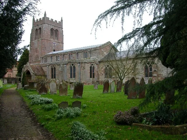
Draycote
Draycote — village in Warwickshire, England, UK.
 Flagship📷 3
Towns & cities · West Midlands
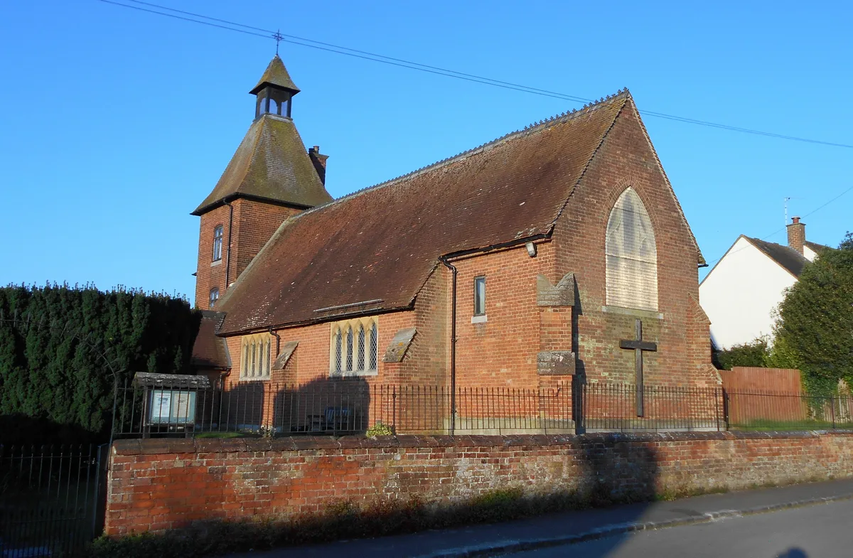
Leamington Hastings
Leamington Hastings — village and civil parish in Warwickshire, United Kingdom.
 📷 3
📷 3Memorials & monuments · West Midlands
Birdingbury War Memorial
Birdingbury War Memorial — Grade II listed building-listed memorial in england-west-midlands, United Kingdom.
 📷 3
📷 3Historic houses · West Midlands
School House
School House — house in Bourton and Draycote, Rugby, Warwickshire, England, UK.
Caravan parks · West Midlands
Manor Farm Caravan Site
Manor Farm Caravan Site — a caravan park in england west midlands.
 Flagship📷 5
Towns & cities · West Midlands
Thurlaston
Thurlaston — village and civil parish in Warwickshire, United Kingdom.
More places in this region
 Flagship📷 3
Reservoirs & lochs · West Midlands
Netherton Reservoir
Netherton Reservoir — reservoir in West Midlands, England, UK.
 📷 3
📷 3Reservoirs & lochs · West Midlands
Abingdon Reservoir
Abingdon Reservoir — proposed reservoir in Oxfordshire, England, UK.
 📷 3
📷 3Reservoirs & lochs · West Midlands
Aston Reservoir
Aston Reservoir — reservoir in Birmingham, West Midlands, England, UK.
 📷 3
📷 3Reservoirs & lochs · West Midlands
Babbs Mill Lake
Babbs Mill Lake — reservoir in West Midlands, England, UK.
Frequently asked questions
- Where is Draycote Water?
- Draycote Water is in West Midlands, in the United Kingdom — coordinates 52.3173°, -1.3413°. The nearest railway station is Rugby, around 9.2 km away.
- Is Draycote Water free to visit?
- Yes — admission to Draycote Water is free.