Museums · West Midlands
Dawley
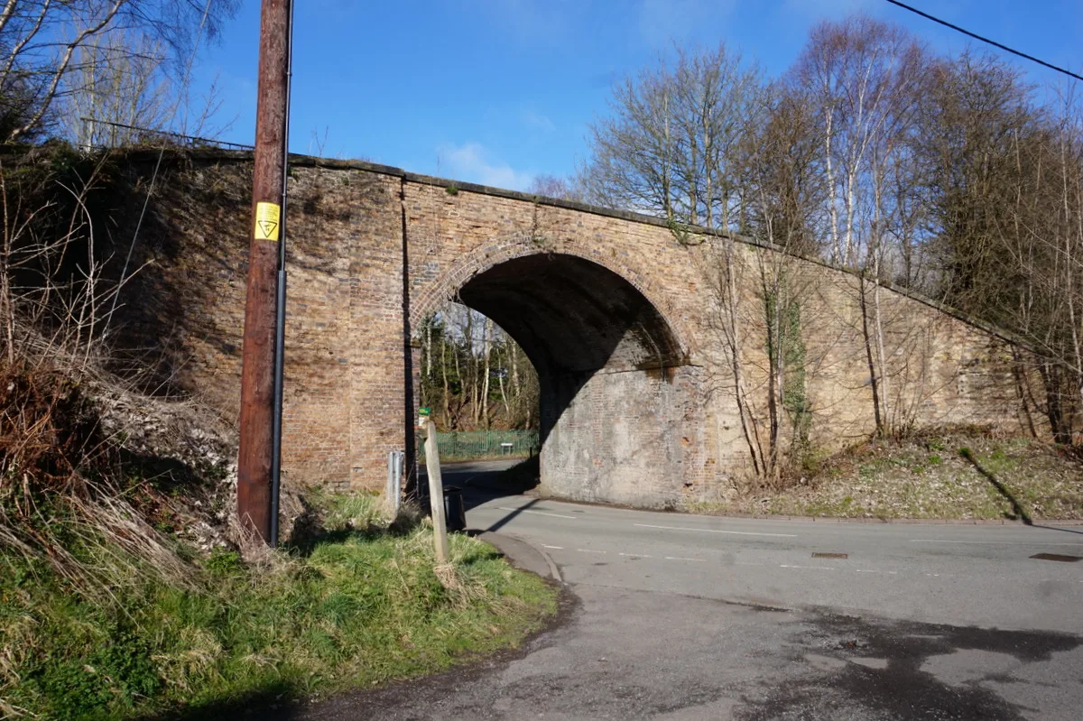
Dawley ( DAW-lee) is a former mining town and civil parish in the borough of Telford and Wrekin, Shropshire, England. It was originally proposed to be the main centre of the 'Dawley New Town' plan in

Ian S — CC BY-SA 2.0 via Wikimedia Commons licence
Plan your visit
- Typical visit
- 1.5 h–3 h
- Best time of year
- Year-round
- Family-friendly
- Limited wheelchair access
About
Dawley ( DAW-lee) is a former mining town and civil parish in the borough of Telford and Wrekin, Shropshire, England. It was originally proposed to be the main centre of the 'Dawley New Town' plan in 1963, however it was decided in 1968 to name the new town as 'Telford', after the engineer and road-builder Thomas Telford. Dawley is one of the older settlements in Shropshire, being mentioned in the Domesday Book (1086). It is divided into Dawley Magna ("Great Dawley") and Little Dawley (also shown as Dawley Parva ("Little Dawley") on older maps).
Photo gallery
From the Wikipedia article
Dawley ( DAW-lee) is a former mining town and civil parish in the borough of Telford and Wrekin, Shropshire, England. It was originally proposed to be the main centre of the 'Dawley New Town' plan in 1963, however it was decided in 1968 to name the new town as 'Telford', after the engineer and road-builder Thomas Telford. Dawley is one of the older settlements in Shropshire, being mentioned in the Domesday Book (1086). It is divided into Dawley Magna ("Great Dawley") and Little Dawley (also shown as Dawley Parva ("Little Dawley") on older maps).
Excerpt from Wikipedia under CC BY-SA 4.0. See the source article linked in Sources below.
Background
History
Dawley is mentioned in the Domesday Book and is therefore one of the older settlements in Shropshire. There was a castle in Dawley, but it was demolished around 1648. The site is unknown, although the Castle Pools (on the old quarry site) and Castle Ironworks (built by the Darby family, one of whom commissioned the world-famous Iron Bridge) possibly indicate the general area where it may have stood. Prior to the landscaping that followed the creation of Telford New Town, extensive ruins were detectable next to the Castle Pools and are shown on old maps as being the location of the castle, but, in the 1980s, the whole area was buried under thick topsoil and planted with trees. Ironbridge is…
Sourced from Wikipedia under CC BY-SA 4.0.
- Coordinates
- 52.6630, -2.4670
- District
- Telford and Wrekin
- Parish
- Great Dawley
- Postcode
- TF4 3JR
- Parliamentary constituency
- Telford
- Official site
- greatdawley.org
Sources
- wikipedia: Dawley (CC BY-SA 4.0)
Other places nearby
Loading nearby places…
Nearby
 📷 3
📷 3Heritage railways · West Midlands
Telford Steam Railway
Telford Steam Railway is a heritage railway in the United Kingdom.
 📷 3
📷 3Memorials & monuments · West Midlands
Second Lieutenant Clifford Wallace Jenson USAAF
Second Lieutenant Clifford Wallace Jenson USAAF — a memorial in england-west-midlands, United Kingdom.
 📷 3
📷 3Natural landmarks · West Midlands
Stirchley Chimney
Stirchley Chimney — a other in england-west-midlands, United Kingdom.
 📷 3
📷 3Zoos & aquariums · West Midlands
Exotic Zoo Wildlife Park
Exotic Zoo Wildlife Park — a zoo aquarium in england-west-midlands, United Kingdom.
 📷 3
📷 3Historic bridges · West Midlands
Former Canal Bridge About 130 Metres South Of Methodist Chapel
Former Canal Bridge About 130 Metres South Of Methodist Chapel — Grade II listed building-listed bridge in england-west-midlands, United Kingdom.
 📷 4
📷 4Other places · West Midlands
South Telford Heritage Trail
The South Telford Heritage Trail is a circular, waymarked walking route that passes by forty-nine heritage sites in the English town of Telford.
More museums in this region
 📷 5
📷 5Museums · West Midlands
A Real Birmingham Family
A Real Birmingham Family — Public artwork (sculpture) by Gillian Wearing.
 📷 3
📷 3Museums · West Midlands
Abington Abbey
Abington Abbey — stately home, now museum, in Abington Park, Northampton, England, UK.
.jpg?width=1200) 📷 5
📷 5Museums · West Midlands
Aspire
Aspire — Public artwork (sculpture) by Anuradha Patel.
 📷 3
📷 3Museums · West Midlands
Aston Martin Heritage Trust Museum
Aston Martin Heritage Trust Museum — Automobile museum in Drayton St Leonard, England.
Frequently asked questions
- Where is Dawley?
- Dawley is in West Midlands, in the United Kingdom — coordinates 52.6630°, -2.4670°.
- Is Dawley wheelchair accessible?
- Partially — OpenStreetMap notes limited wheelchair access at Dawley. Check ahead for specific facilities.