Castles · Scottish Lowlands
Cruggleton Castle
Cruggleton Castle — castle in Dumfries and Galloway, Scotland, UK.

Wikimedia Commons contributors — see linked file page for photographer and licence licence
Plan your visit
- Typical visit
- 1.5 h–3 h
- Family-friendly
- Limited wheelchair access
About
Cruggleton Castle is a castle in the United Kingdom — fortified architecture from the medieval, Tudor, or Victorian-revival period. Heritage designation: scheduled monument. Wikidata describes it as: "castle in Dumfries and Galloway, Scotland, UK". Coordinates: 54.7572°, -4.3573°.
Photo gallery
Heritage listing
Cruggleton Castle is a multi-period archaeological site on the coast of the Machars, in the historical county of Wigtownshire in south-west Scotland. It is located at Cruggleton Point, around 4.5 kilometres (2.8 mi) east of Whithorn and 6 kilometres (3.7 mi) south-east of Sorbie. Excavations in the 1970s and 1980s revealed several periods of use, from the 1st century AD to the 17th century. The first stone tower was built in the 13th century, on an earlier motte. The castle is located on a high outcrop of shale, which forms a promontory on the east-facing cliff edge, about 40 metres (130 ft) above sea level.
From Historic Environment Scotland under OGL v3.
From the Wikipedia article
Cruggleton Castle is a multi-period archaeological site on the coast of the Machars, in the historical county of Wigtownshire in south-west Scotland. It is located at Cruggleton Point, around 4.5 kilometres (2.8 mi) east of Whithorn and 6 kilometres (3.7 mi) south-east of Sorbie. Excavations in the 1970s and 1980s revealed several periods of use, from the 1st century AD to the 17th century. The first stone tower was built in the 13th century, on an earlier motte. The castle is located on a high outcrop of shale, which forms a promontory on the east-facing cliff edge, about 40 metres (130 ft) above sea level. The name "Cruggleton" is taken to derive from the rocky nature of the site.
Excerpt from Wikipedia under CC BY-SA 4.0. See the source article linked in Sources below.
Background
History
Excavations on the site revealed the remains of a late Iron Age hut circle, and of a timber hall dated to the early medieval period. During the 12th or 13th century, the rock outcrop was raised to form a motte and a timber tower was built. During this time, Cruggleton Castle was possibly a seat of the Lords of Galloway, passing to the Earls of Buchan. The earliest stone tower and curtain wall was built between the late 13th and early 15th centuries. In the 1290s, John Comyn, Earl of Buchan, had a licence from Edward I to dig for lead in the Calf of Man, to cover eight towers of the castle. Cruggleton, also known as "The Black Rock of Cree", has been associated with the stronghold on the…
Sourced from Wikipedia under CC BY-SA 4.0.
- Coordinates
- 54.7572, -4.3573
- District
- Dumfries and Galloway
- Postcode
- DG8 8HL
- Parliamentary constituency
- Dumfries and Galloway
Sources
- wikidata: Q5189926 (CC0)
- wikipedia: Cruggleton Castle (CC BY-SA 4.0)
- commons: Cruggleton Castle.jpg (CC BY-SA 4.0)
Other places nearby
Loading nearby places…
Nearby
 📷 3
📷 3Castles · Scottish Lowlands
Cruggleton Castle (ruined)
Cruggleton Castle (ruined) — a castle in scotland-lowlands, United Kingdom.
 📷 5
📷 5Historic churches · Scottish Lowlands
Cruggleton Old Parish Church and Burial Ground
Cruggleton Old Parish Church and Burial Ground — category A listed building-listed church in scotland-lowlands, United Kingdom.
Vineyards · Scottish Lowlands
Dinnans
Dinnans — a UK vineyard in scotland lowlands, producing English or Welsh wine from cool-climate grape varieties.
 📷 3
📷 3Historic houses · Scottish Lowlands
Galloway House
Galloway House — house in Dumfries and Galloway, Scotland, UK.
Vineyards · Scottish Lowlands
Dinnans
Dinnans — a UK vineyard in scotland lowlands, producing English or Welsh wine from cool-climate grape varieties.
Campsites · Scottish Lowlands
Garlieston Caravan Club Site
Garlieston Caravan Club Site — a campsite in scotland lowlands.
More castles in this region
 📷 3
📷 3Castles · Scottish Lowlands
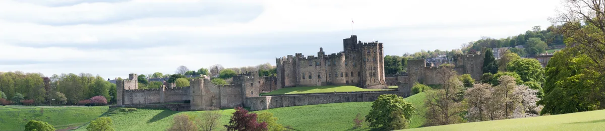
Alnwick Castle
Alnwick Castle — castle and stately home in Alnwick, Northumberland, England, UK; seat of the Duke of Northumberland, England, UK.
 ★ Iconic📷 4
Castles · Scottish Lowlands
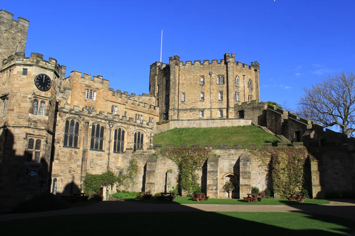
Durham Castle
Durham Castle — Grade I listed historic house museum in Durham, England, UK.
 📷 3
📷 3Castles · Scottish Lowlands
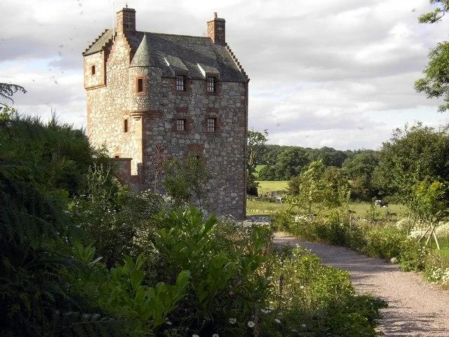
Abbot's Tower
Abbot's Tower — castle in Dumfries and Galloway, Scotland, UK.
 📷 3
📷 3Castles · Scottish Lowlands
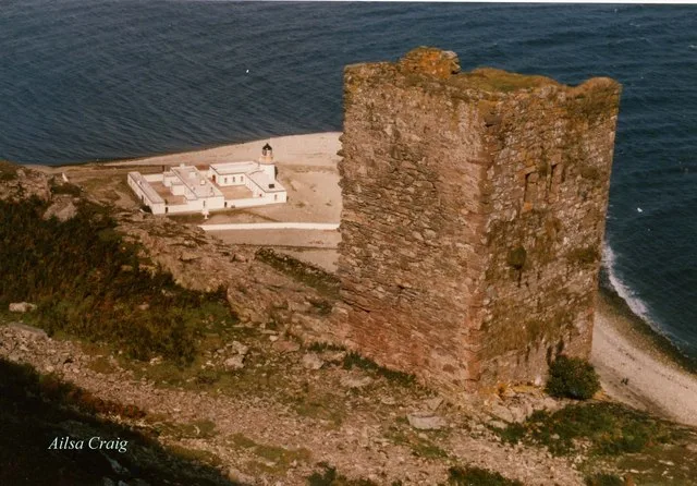
Ailsa Craig Castle
Ailsa Craig Castle — castle in South Ayrshire, Scotland, UK.
Frequently asked questions
- Where is Cruggleton Castle?
- Cruggleton Castle is in the Scottish Lowlands, United Kingdom (postcode DG8 8HL).
- Is Cruggleton Castle a listed building?
- Cruggleton Castle is officially recognised as scheduled monument listed.
- Does Cruggleton Castle charge admission?
- Cruggleton Castle typically charges admission. Check the official site for current ticket prices and opening hours.
- How do I get to Cruggleton Castle?
- Drivers can navigate to postcode DG8 8HL. It sits within the Dumfries and Galloway parliamentary constituency.