Castles · South West England
Crewkerne
Crewkerne ( KROO-kərn) is a town and electoral ward in south Somerset, England, 9 miles (14 km) southwest of Yeovil and 7 miles (11 km) east of Chard. A separate civil parish of West Crewkerne include

John Evans — CC BY-SA 2.0 via Wikimedia Commons licence
Plan your visit
- Typical visit
- 1.5 h–3 h
- Family-friendly
- Limited wheelchair access
About
Crewkerne ( KROO-kərn) is a town and electoral ward in south Somerset, England, 9 miles (14 km) southwest of Yeovil and 7 miles (11 km) east of Chard. A separate civil parish of West Crewkerne includes the hamlets of Clapton, Coombe, Woolminstone and Henley, and borders the county of Dorset to the south. The town is on the main headwater of the River Parrett, the A30 road and the West of England railway line. The earliest written record of Crewkerne is in the 899 will of Alfred the Great who left it to his youngest son Æthelweard. After the Norman Conquest it was held by William the Conqueror and in the Domesday Survey of 1086 was described as a royal manor. Crewkerne Castle was possibly a Norman motte castle. The town grew up in the late mediaeval period around the textile industry, its wealth demonstrated in the 15th-century Church of St Bartholomew. During the 18th and 19th centuries the main industry was cloth making, including webbing, and sails for the Royal Navy. Local ecological sites include the Bincombe Beeches local nature reserve and the Millwater biological Site of Special Scientific Interest. Crewkerne railway station is served by South Western Railway. The town is the birthplace of several notable people and has varied cultural and sporting facilities including those at Wadham School.
Photo gallery
From the Wikipedia article
Crewkerne ( KROO-kərn) is a town and electoral ward in south Somerset, England, 9 miles (14 km) southwest of Yeovil and 7 miles (11 km) east of Chard. A separate civil parish of West Crewkerne includes the hamlets of Clapton, Coombe, Woolminstone and Henley, and borders the county of Dorset to the south. The town is on the main headwater of the River Parrett, the A30 road and the West of England railway line. The earliest written record of Crewkerne is in the 899 will of Alfred the Great who left it to his youngest son Æthelweard. After the Norman Conquest it was held by William the Conqueror and in the Domesday Survey of 1086 was described as a royal manor. Crewkerne Castle was possibly a Norman motte castle. The town grew up in the late mediaeval period around the textile industry, its wealth demonstrated in the 15th-century Church of St Bartholomew. During the 18th and 19th centuries the main industry was cloth making, including webbing, and sails for the Royal Navy. Local ecological sites include the Bincombe Beeches local nature reserve and the Millwater biological Site of Special Scientific Interest. Crewkerne railway station is served by South Western Railway. The town is the birthplace of several notable people and has varied cultural and sporting facilities including those at Wadham School.
Excerpt from Wikipedia under CC BY-SA 4.0. See the source article linked in Sources below.
Background
History
, AD 873–888, mentions land at Crucern (11th-century copy, British Library Stowe MS 944, ff. 29v–33r)]] The name Crewkerne is thought to be derived from Cruc-aera; from the British cruc – a spur of a hill, and the Old English aera – a house, especially a storehouse. The town was known as Crocern, or Cruaern in the 899 will of Alfred the Great when he left it to his younger son Æthelweard, and by 1066 the manor was held by Edith Swanneck, mistress of King Harold. After the Norman Conquest the Domesday Survey of 1086 shows the so-named manor was feudally royal, a possession of William the Conqueror, and the church estate was given to the Abbaye-aux-Hommes in Caen, Normandy. In 1499, John de…
Sourced from Wikipedia under CC BY-SA 4.0.
- Coordinates
- 50.8820, -2.7900
- District
- Somerset
- Parish
- Crewkerne
- Postcode
- TA18 8AA
- Parliamentary constituency
- Yeovil
- Official site
- www.crewkerne-tc.gov.uk
Sources
- wikipedia: Crewkerne (CC BY-SA 4.0)
Other places nearby
Loading nearby places…
Nearby
 📷 5
📷 5Historic churches · South West England
Church of St Bartholomew, Crewkerne
Church of St Bartholomew, Crewkerne — church in South Somerset, England, UK.
 📷 3
📷 3Historic bridges · South West England
Old Viney Bridge Mill
Old Viney Bridge Mill — Grade II listed building-listed bridge in england-south-west, United Kingdom.
 📷 3
📷 3Museums · South West England
Crewkerne Museum
Crewkerne Museum — a museum in england-south-west, United Kingdom.
 📷 3
📷 3Memorials & monuments · South West England
Crewkerne War Memorial
Crewkerne War Memorial — Grade II listed building-listed memorial in england-south-west, United Kingdom.
 📷 5
📷 5Theatres · South West England
Crewkerne Town Hall
Crewkerne Town Hall — a cinema heritage in england-south-west, United Kingdom.
 📷 3
📷 3Theatres · South West England
Victoria Hall
Victoria Hall is a theatre in the United Kingdom.
More castles in this region
 📷 5
📷 5Castles · South West England
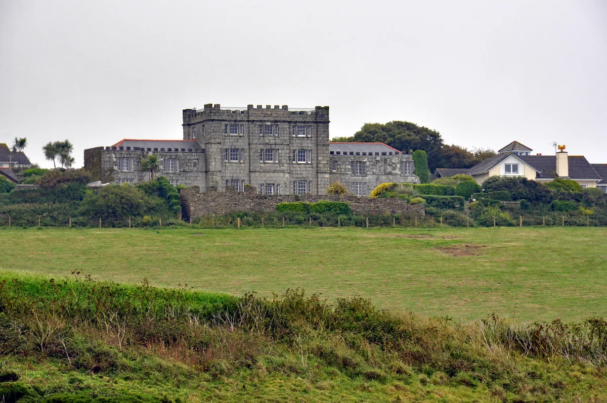
Acton Castle
Acton Castle — Cornish historic building.
 📷 5
📷 5Castles · South West England
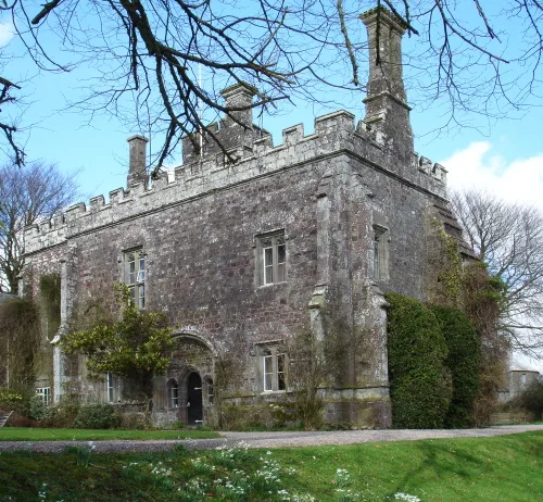
Affeton Castle
Affeton Castle — castle in East Worlington, Devon, England, UK.
 📷 5
📷 5Castles · South West England
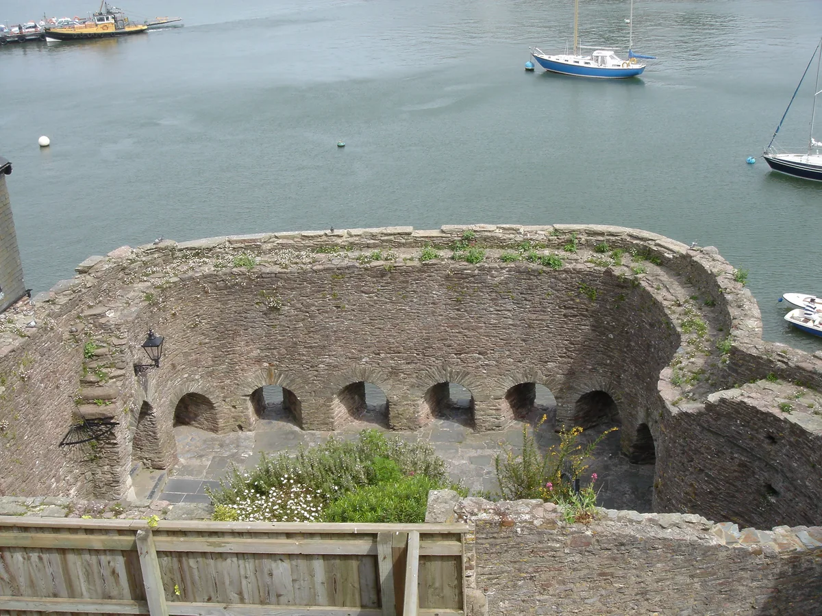
Bayard's Cove Fort
Bayard's Cove Fort — castle in Devon, England, UK.
 📷 5
📷 5Castles · South West England
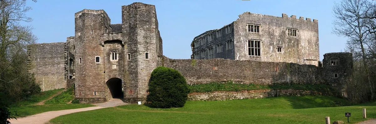
Berry Pomeroy Castle
Berry Pomeroy Castle — Grade I listed English country house in South Hams, United Kingdom.
Frequently asked questions
- Where is Crewkerne?
- Crewkerne is in South-West England, United Kingdom (postcode TA18 8AA), in the parish of Crewkerne.
- Does Crewkerne charge admission?
- Crewkerne typically charges admission. Check the official site for current ticket prices and opening hours.
- How do I get to Crewkerne?
- Drivers can navigate to postcode TA18 8AA. It sits within the Yeovil parliamentary constituency.