Towns & cities · West Midlands
Cranfield
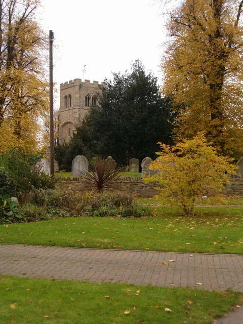
Cranfield — village and civil parish in Bedfordshire, England.

Wikimedia Commons contributors — see linked file page for photographer and licence licence
Plan your visit
- Typical visit
- 3 h–6 h
- Nearest railway station
- Lidlington · 4.6 km
- Free entry
- Family-friendly
- Dog-friendly
About
Cranfield is a town, city, village or settlement in the United Kingdom. Recent population estimates put it at around 4,909 people. Address: MK43. Wikidata describes it as: "village and civil parish in Bedfordshire, England". Coordinates: 52.0699°, -0.6081°.
Photo gallery
From the Wikipedia article
Cranfield is a village and civil parish in the west of Bedfordshire, England, situated between Bedford and Milton Keynes. It had a population of 4,909 in 2001, increasing to 5,369 at the 2011 census. The parish is in Central Bedfordshire unitary authority. It is best known for being the home of Cranfield University and Cranfield Airport (an airfield). The hamlet of Bourne End is located just north of Cranfield, and is part of the civil parish. Wharley End was a separate settlement, but now forms the northern part of Cranfield village, by the university.
Excerpt from Wikipedia under CC BY-SA 4.0. See the source article linked in Sources below.
- Coordinates
- 52.0699, -0.6081
- District
- Central Bedfordshire
- Parish
- Cranfield
- Postcode
- MK43
- Parliamentary constituency
- Mid Bedfordshire
- Population
- 4,909
- Nearest railway station
- Lidlington — 4.6 km
- Official site
- www.neighbourhood.statistics.gov.uk
Sources
- wikidata: Q1522979 (CC0)
- wikipedia: Cranfield (CC BY-SA 4.0)
- commons: Cranfield - geograph.org.uk - 277478.jpg (CC BY-SA 4.0)
Other places nearby
Loading nearby places…
Nearby
 📷 3
📷 3Memorials & monuments · West Midlands
Cranfield War Memorial
Cranfield War Memorial — Grade II listed building-listed memorial in england-west-midlands, United Kingdom.
 📷 3
📷 3Historic churches · West Midlands
Church of St Peter & St Paul, Cranfield
Church of St Peter & St Paul, Cranfield — church in Cranfield, Bedfordshire, England, UK.
 📷 5
📷 5Historic churches · West Midlands
Cranfield University Mosque
Cranfield University Mosque — a church in england-west-midlands, United Kingdom.
 📷 5
📷 5Natural landmarks · West Midlands
Cranfield University
Cranfield University — a university in england-west-midlands, United Kingdom.
 📷 3
📷 3Manor houses · West Midlands
Chicheley Manor
Chicheley Manor — Grade II listed building-listed manor in england-west-midlands, United Kingdom.
Campsites · West Midlands
Lower Woodend Farm
Lower Woodend Farm — a campsite in england west midlands.
More towns in this region
 Flagship📷 3
Towns & cities · West Midlands
Adderbury
Adderbury — village and civil parish in Cherwell district, Oxfordshire, England.
 Flagship📷 3
Towns & cities · West Midlands
Admington
Admington — village in Warwickshire, England, UK.
 Flagship📷 3
Towns & cities · West Midlands
Aldington
Aldington — village in Worcestershire, United Kingdom.
 Flagship📷 5
Towns & cities · West Midlands
Anstey
Anstey — large village in Leicestershire, England.
Frequently asked questions
- Where is Cranfield?
- Cranfield is in the West Midlands, United Kingdom (postcode MK43), in the parish of Cranfield.
- Is Cranfield free to visit?
- Yes, Cranfield is free to enter.
- How do I get to Cranfield?
- The nearest railway station is Lidlington, about 4.6 km away. Drivers can navigate to postcode MK43.