Other places · North East England
County Durham
Also known as: Swydd Durham, Contae Durham, Konteth Durham
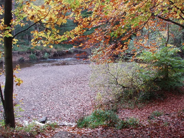
County Durham in England North East, United Kingdom.

peter robinson — CC BY-SA 2.0 via Wikimedia Commons licence
Plan your visit
- Typical visit
- 1 h–2 h
About
County Durham is a place of interest in England North East, United Kingdom — drawn from open-data sources for visitor reference. See the linked Wikipedia article for the full description.
Photo gallery
From the Wikipedia article
County Durham, also called Durham, is a ceremonial county in North East England. The county borders Northumberland and Tyne and Wear to the north, the North Sea to the east, North Yorkshire to the south, and Cumbria to the west. The largest settlement is Darlington. The county has an area of 2,676 square kilometres (1,033 sq mi) and had an estimated population of 894,025 in 2024. The centre and east of the county are more densely populated than the west, and the major settlements include Hartlepool on the south-east coast, Stockton-on-Tees in the south-east, Darlington in the south, and the city of Durham in the north-centre. Stockton-on-Tees is part of the Teesside conurbation, which extends into North Yorkshire. Barnard Castle is the largest town in the west of the county. For local government purposes the county comprises the unitary authority areas of County Durham, Darlington, Hartlepool, and part of Stockton-on-Tees. Durham County Council is part of the North East Combined Authority, and the councils of the other three areas are part of the Tees Valley Combined Authority. The part of Tyne and Wear south of the River Tyne was historically part of County Durham, and the part of Durham south of the River Tees was historically part of the North Riding of Yorkshire. The west of the county contains part of the North Pennines uplands, a national landscape. The hills are the source of the rivers Tees and Wear, which flow east and form the valleys of Teesdale and Weardale respectively. The east of the county is flatter, and the two rivers meander through it; the Tees forms the boundary with North Yorkshire in its lower reaches, and the Wear exits the county near Chester-le-Street in the north-east. The county's coast is characterised by tall limestone and dolomite cliffs and is a site of special scientific interest. What is now County Durham was on the border of Roman Britain, and contains survivals of this era at sites such as Binchester Roman Fort. In the…
Excerpt from Wikipedia under CC BY-SA 4.0. See the source article linked in Sources below.
Background
Description
of the county shown in John Speed's map of the county in his Theatre of the Empire of Great Britaine, 1611. These boundaries remained in use for administrative purposes until the local government reforms starting in the 1960s. A depiction of the city of Durham is inset in the top right.]] The historic boundaries of County Durham included a main body covering the catchment of the Pennines in the west, the River Tees in the south, the North Sea in the east and the Rivers Tyne and Derwent in the north. The county palatinate also had a number of liberties: the Bedlingtonshire, Islandshire and Norhamshire exclaves within Northumberland, and the Craikshire exclave within the North Riding of…
Sourced from Wikipedia under CC BY-SA 4.0.
- Coordinates
- 54.6667, -1.8333
- District
- County Durham
- Parish
- Hamsterley
- Postcode
- DL13 3NH
- Parliamentary constituency
- Bishop Auckland
- Official site
- www.countydurhamlieutenancy.co.uk
Sources
- wikidata: Q23082 (CC0)
- wikipedia: County Durham (CC BY-SA 4.0)
Other places nearby
Loading nearby places…
Nearby
Campsites · Scottish Lowlands
Green Acres Hamsterley
Green Acres Hamsterley — a campsite in scotland lowlands.
 📷 3
📷 3Chapels · Scottish Lowlands
Hamsterley Baptist Chapel
Hamsterley Baptist Chapel — chapel in Hamsterley, County Durham, England, UK.
 📷 3
📷 3Memorials & monuments · Scottish Lowlands
Hamsterley War Memorial
Hamsterley War Memorial is a memorial in the United Kingdom.
 📷 4
📷 4Memorials & monuments · North East England
Hamsterley
Hamsterley in England North East, United Kingdom.
 📷 3
📷 3Archaeological sites · Scottish Lowlands
Hamsterley Forest
Hamsterley Forest — near Bishop Auckland.
 📷 3
📷 3Historic bridges · Scottish Lowlands
Howlea Bridge Over Bedburn Beck
Howlea Bridge Over Bedburn Beck — Grade II listed building-listed bridge in scotland-lowlands, United Kingdom.
More places in this region
.jpg?width=1200) 📷 3
📷 3Other places · North East England
Stockton Flyer
Stockton Flyer — Public artwork (installation).
 📷 3
📷 3Other places · North East England
Temenos
Temenos — Public artwork (sculpture) by Anish Kapoor.
 📷 5
📷 5Other places · North East England
Appleby Horse Fair
The Appleby Horse Fair, previously known as Appleby New Fair, is an annual gathering of Romani people (Gypsies) and Travellers in Appleby-in-Westmorland in Cumbria, England. The horse fair is held eac
 📷 5
📷 5Other places · North East England
Locomotion No. 1
Locomotion No. 1 (originally named Active) is an early steam locomotive that was built in 1825 by the pioneering railway engineers George and Robert Stephenson at their manufacturing firm, Robert Step
Frequently asked questions
- Where is County Durham?
- County Durham is in North East England, in the United Kingdom — coordinates 54.6667°, -1.8333°.