Museums · North West England
Colne
Colne () is a market town and civil parish in the Borough of Pendle in Lancashire, England. The town is 3 miles (5 km) northeast of Nelson, 6 miles (10 km) northeast of Burnley and 25 mi (40 km) east

Gordon Hatton — CC BY-SA 2.0 via Wikimedia Commons licence
_-_geograph.org.uk_-_5728790.jpg)
Plan your visit
- Typical visit
- 1.5 h–3 h
- Best time of year
- Year-round
- Family-friendly
- Limited wheelchair access
About
Colne () is a market town and civil parish in the Borough of Pendle in Lancashire, England. The town is 3 miles (5 km) northeast of Nelson, 6 miles (10 km) northeast of Burnley and 25 mi (40 km) east of Preston. The town should not be confused with the unrelated Colne Valley around the River Colne near Huddersfield in West Yorkshire. Colne is close to the southern entrance to the Aire Gap, the lowest crossing of the Pennine watershed. The M65 terminates west of the town and from here two main roads take traffic onwards towards the Yorkshire towns of Skipton (A56) and Keighley (A6068). Colne railway station is the terminus of the East Lancashire railway line. Colne adjoins the Pendle parishes of Foulridge, Laneshaw Bridge, Trawden Forest, Nelson, Barrowford and Blacko.
Photo gallery
From the Wikipedia article
Colne () is a market town and civil parish in the Borough of Pendle in Lancashire, England. The town is 3 miles (5 km) northeast of Nelson, 6 miles (10 km) northeast of Burnley and 25 mi (40 km) east of Preston. The town should not be confused with the unrelated Colne Valley around the River Colne near Huddersfield in West Yorkshire. Colne is close to the southern entrance to the Aire Gap, the lowest crossing of the Pennine watershed. The M65 terminates west of the town and from here two main roads take traffic onwards towards the Yorkshire towns of Skipton (A56) and Keighley (A6068). Colne railway station is the terminus of the East Lancashire railway line. Colne adjoins the Pendle parishes of Foulridge, Laneshaw Bridge, Trawden Forest, Nelson, Barrowford and Blacko.
Excerpt from Wikipedia under CC BY-SA 4.0. See the source article linked in Sources below.
Background
History
Settlement in the area can be traced back to the Stone Age. A Mesolithic camp site, a Bronze Age burial site and stone tools from the Bronze and Stone Ages have been discovered at nearby Trawden. There are also the remains of an Iron Age fort, dating from the 6th century BC, above Colne at Castercliff. Although a Roman road passes through nearby Barnoldswick, and some Roman coins have been discovered, there is no conclusive evidence of the Romans having occupied the area. There is, however, some debate among local historians as to whether the Romans may have stayed at Castercliff. From the early 6th century to the late 10th century, Colne came under Northumbrian and then Viking rule,…
Sourced from Wikipedia under CC BY-SA 4.0.
- Coordinates
- 53.8554, -2.1756
- County
- Lancashire
- District
- Pendle
- Parish
- Colne
- Postcode
- BB8 0AE
- Parliamentary constituency
- Pendle and Clitheroe
- Phone
- +44 1282 661234
- Official site
- www.themuni.co.uk
Sources
- wikipedia: Colne (CC BY-SA 4.0)
Other places nearby
Loading nearby places…
Nearby
 📷 3
📷 3Memorials & monuments · North West England
Colne War Memorial
Colne War Memorial — Grade II listed building-listed memorial in england-north-west, United Kingdom.
📷 4Theatres · North West England
The Muni
The Muni is a theatre in the United Kingdom.
📷 5Memorials & monuments · North West England
Wallace Hartley
Wallace Hartley — a memorial in england-north-west, United Kingdom.
 📷 3
📷 3Theatres · North West England
Pendle Hippodrome
Pendle Hippodrome is a theatre in the United Kingdom.
 📷 4
📷 4Theatres · North West England
Pendle Hippodrome Theatre
Pendle Hippodrome Theatre in England North West, United Kingdom.
 📷 3
📷 3Historic churches · North West England
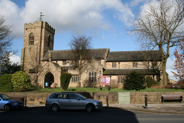
St Bartholomew's Church, Colne
St Bartholomew's Church, Colne — Grade I listed church in Colne, Pendle, Lancashire, England, UK.
More museums in this region
 📷 3
📷 3Museums · North West England
Abbot Hall Art Gallery
Abbot Hall Art Gallery — Grade I listed art museum in Kendal, United Kingdom.
 📷 4
📷 4Museums · North West England
Bancroft Shed
Bancroft Shed — mill museum in Barnoldswick, Pendle, Lancashire, England, UK.
 📷 3
📷 3Museums · North West England
Blackburn Museum and Art Gallery
Blackburn Museum and Art Gallery — museum in Lancashire, England.
 📷 5
📷 5Museums · North West England
Bolton Steam Museum
Bolton Steam Museum — industrial museum in England, United Kingdom.
Frequently asked questions
- Where is Colne?
- Colne is in North West England, in the United Kingdom — coordinates 53.8554°, -2.1756°.
- Is Colne wheelchair accessible?
- Partially — OpenStreetMap notes limited wheelchair access at Colne. Check ahead for specific facilities.