Mountains & hills · North East England
Clough Head
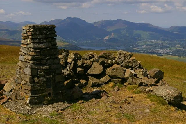
Clough Head — Named summit at 726 m.

Wikimedia Commons contributors — see linked file page for photographer and licence licence
Plan your visit
- Typical visit
- 3 h–8 h
- Best time of year
- Late spring – early autumn (May–Oct)
- Nearest railway station
- Threlkeld Quarry · 1.8 km
- Free entry
- Dog-friendly
About
Clough Head is a named summit in the United Kingdom. Wikidata describes it as: "Named summit at 726 m.". Coordinates: 54.5936°, -3.0324°.
Photo gallery
Protected designations
- Site of Special Scientific Interest: River Derwent and Tributaries SSSI
- Site of Special Scientific Interest: River Eden and Tributaries SSSI
Designations sourced from Natural England open data under OGL v3.
From the Wikipedia article
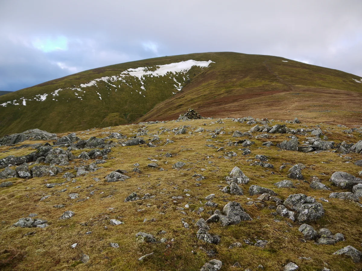
Clough Head ( ) (meaning: hill-top above the ravine) is a fell, or hill, in the English Lake District. It marks the northern end of the main ridge of the Helvellyn range and is often walked as part of the ridge walk. The fell stands south of the village of Threlkeld and the A66 road, and it forms the steep eastern side of the tranquil valley of St John's in the Vale. On its western side the fell displays a dark mass of rocky crags and a deep-set rocky ravine. On the other side it has smooth grassy slopes. Beneath the north face is the steep valley or clough from which Clough Head gets its name. Also beneath the steep northern face lies the lower hill of Threlkeld Knotts, a granite hill which has been much quarried round its margin. A number of different types of rock are found on and around Clough Head, which were formed in very different circumstances. These include deep-sea sedimentation, effusive volcanic lava flows, explosive volcanism, an intrusion of granite, mineralisation and finally glacial sculpting. To understand the geology of Clough Head is to understand much of the geology of the Lake District. An old route known as the Old Coach Road passes beneath Clough Head. Most of the fell is Open Access land, which walkers can enter from either end of the Old Coach Road, or from a lane south of the village of Threlkeld. Four main routes lead to the summit.
Excerpt from Wikipedia under CC BY-SA 4.0. See the source article linked in Sources below.
- Coordinates
- 54.5936, -3.0324
- District
- Cumberland
- Parish
- St John's Castlerigg and Wythburn
- Postcode
- CA12 4TS
- Parliamentary constituency
- Penrith and Solway
- Nearest railway station
- Threlkeld Quarry — 1.8 km
Sources
- osm: n6151333439 (ODbL)
- wikipedia: Clough Head (CC BY-SA 4.0)
- commons: Trig Point at Clough Head - geograph.org.uk - 232507.jpg (CC BY-SA 4.0)
Other places nearby
Loading nearby places…
Nearby
 📷 3
📷 3Natural landmarks · North East England
Clough Head
Clough Head — mountain in United Kingdom.
 📷 3
📷 3Archaeological sites · Scottish Lowlands
Threlkeld Common Settlement
Threlkeld Common Settlement — a archaeological in scotland-lowlands, United Kingdom.
 📷 3
📷 3Historic bridges · North East England
Bridge North West Of Bram Crag
Bridge North West Of Bram Crag — Grade II listed building-listed bridge in england-north-east, United Kingdom.
 📷 3
📷 3Museums · Scottish Lowlands
Threlkeld Quarry & Mining Museum
Threlkeld Quarry & Mining Museum — a museum in scotland-lowlands, United Kingdom.
 📷 3
📷 3Mountains & hills · North East England
Great Dodd
Great Dodd — Named summit at 857 m.
 📷 3
📷 3Natural landmarks · North East England
Great Dodd
Great Dodd — mountain in the Lake District, Cumbria, United Kingdom.
More mountains in this region
 📷 3
📷 3Mountains & hills · North East England
Angletarn Pikes
Angletarn Pikes — Named summit at 566 m.
 📷 3
📷 3Mountains & hills · North East England
Angletarn Pikes South Top
Angletarn Pikes South Top — Named summit at 563.6 m.
 📷 3
📷 3Mountains & hills · North East England
Ard Crags
Ard Crags — Named summit at 581 m.
 📷 3
📷 3Mountains & hills · North East England
Arnison Crag
Arnison Crag — Named summit at 433 m.
Frequently asked questions
- Where is Clough Head?
- Clough Head is in North-East England, United Kingdom (postcode CA12 4TS), in the parish of St John's Castlerigg and Wythburn.
- Is Clough Head a protected site?
- Yes — Clough Head is part of the River Derwent and Tributaries SSSI Site of Special Scientific Interest and the River Eden and Tributaries SSSI Site of Special Scientific Interest.
- Is Clough Head free to visit?
- Yes, Clough Head is free to enter.
- How do I get to Clough Head?
- The nearest railway station is Threlkeld Quarry, about 1.8 km away. Drivers can navigate to postcode CA12 4TS.