Other places · Scottish Lowlands
Clasp
Clasp — Public artwork (sculpture) by Antony Gormley.

Adrian Taylor — CC BY-SA 2.0 via Wikimedia Commons licence
Plan your visit
- Typical visit
- 1 h–2 h
- Nearest railway station
- Haymarket · 0.2 km
About
Clasp is a place of interest in the United Kingdom. Wikidata describes it as: "Public artwork (sculpture) by Antony Gormley.". Coordinates: 54.9790°, -1.6145°.
Photo gallery
Place summary
Clasp is located in the Scottish Lowlands, within the unparished area of Newcastle upon Tyne, postcode NE1. It is classified under the category of 'other' and serves as an example of contemporary architecture in the region.
AI-generated from the structured facts on this page (operator, designation, listing, era). Not a substitute for visiting.
- Coordinates
- 54.9790, -1.6145
- District
- Newcastle upon Tyne
- Parish
- Newcastle upon Tyne, unparished area
- Postcode
- NE1 7RH
- Parliamentary constituency
- Newcastle upon Tyne Central and West
- Nearest railway station
- Haymarket — 0.2 km
- Official site
- www.antonygormley.com
Sources
- osm: n8439473054 (ODbL)
Other places nearby
Loading nearby places…
Nearby
 📷 3
📷 3Other places · North East England
Newcastle University Students' Union
Newcastle University Students' Union in England North East, United Kingdom.
 📷 4
📷 4Other places · North East England
Culture Lab
Culture Lab in England North East, United Kingdom.
 📷 3
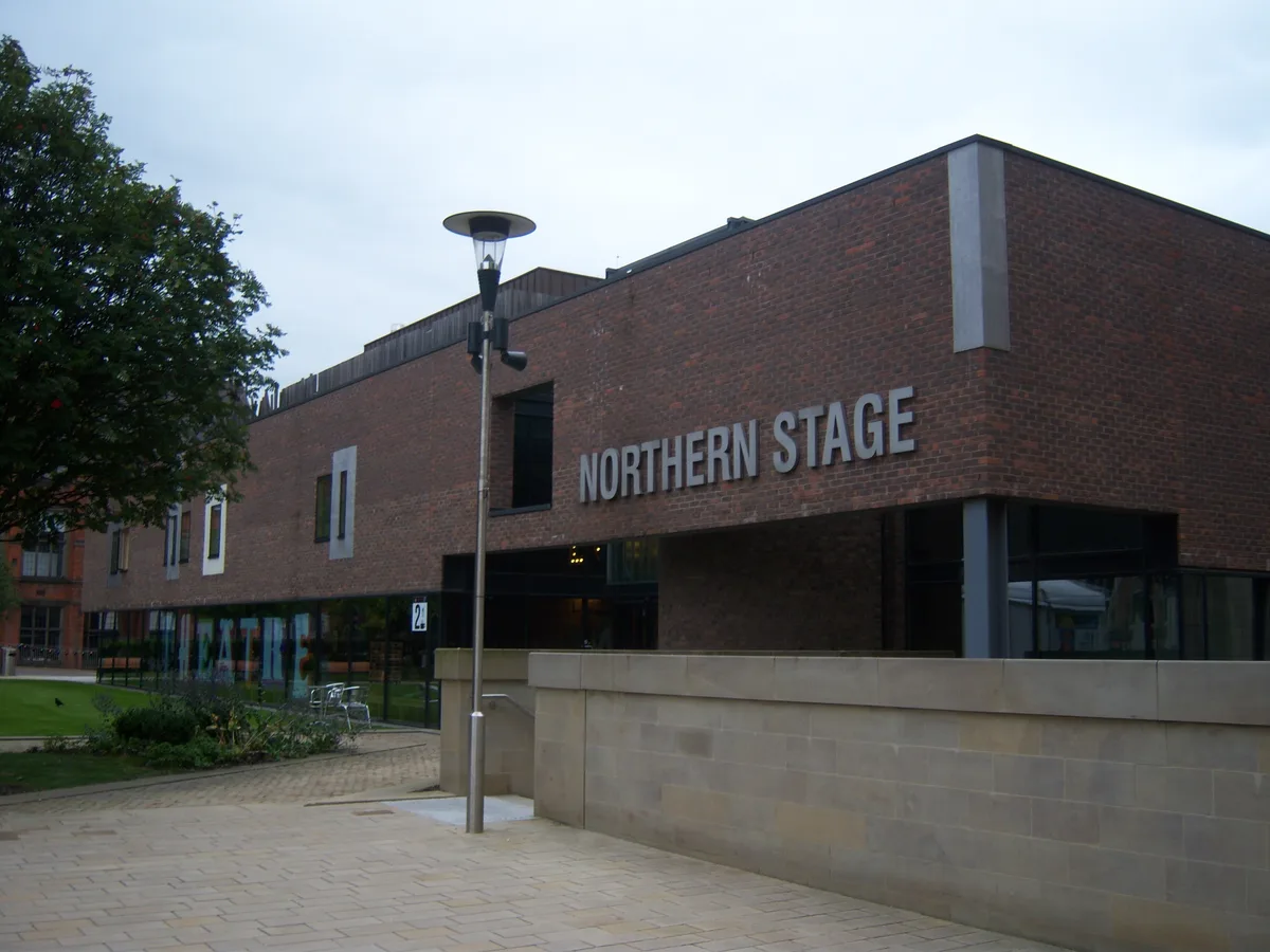
📷 3Theatres · Scottish Lowlands
Northern Stage
Northern Stage is a theatre in the United Kingdom.
 📷 3
📷 3Other places · Scottish Lowlands
Generation
Generation — Public artwork (sculpture) by Joseph Hillier.
 📷 3
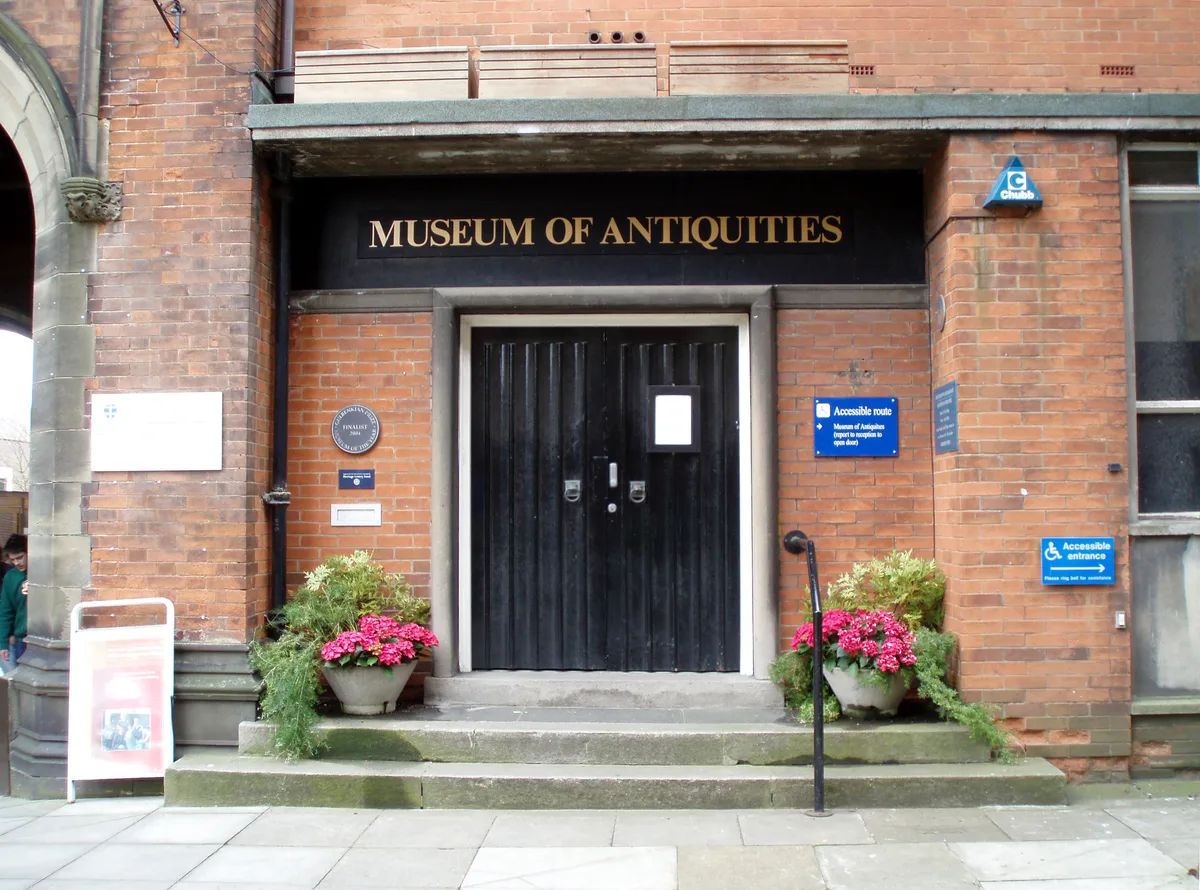
📷 3Museums · Scottish Lowlands
Museum of Antiquities
Museum of Antiquities — archaeology museum in Newcastle upon Tyne, England.
 📷 3
📷 3Natural landmarks · Scottish Lowlands
Student Forum
Student Forum — a other in scotland-lowlands, United Kingdom.
More places in this region
 📷 3
📷 3Other places · Scottish Lowlands
Bakethin Hide
Bakethin Hide — Public artwork by Newcastle University.
.jpg?width=1200) 📷 3
📷 3Other places · Scottish Lowlands
Burns Statue
Burns Statue — Public artwork (statue) by Amelia Paton Hill.
 📷 3
📷 3Other places · Scottish Lowlands
Chrysalis
Chrysalis — Public artwork (sculpture) by Sam Brewster.
 📷 3
📷 3Other places · Scottish Lowlands
Cone
Cone — Public artwork (sculpture) by Andy Goldsworthy.
Frequently asked questions
- Where is Clasp?
- Clasp is in Scottish Lowlands, in the United Kingdom — coordinates 54.9790°, -1.6145°. The nearest railway station is Haymarket, around 0.2 km away.