Country parks · South East England
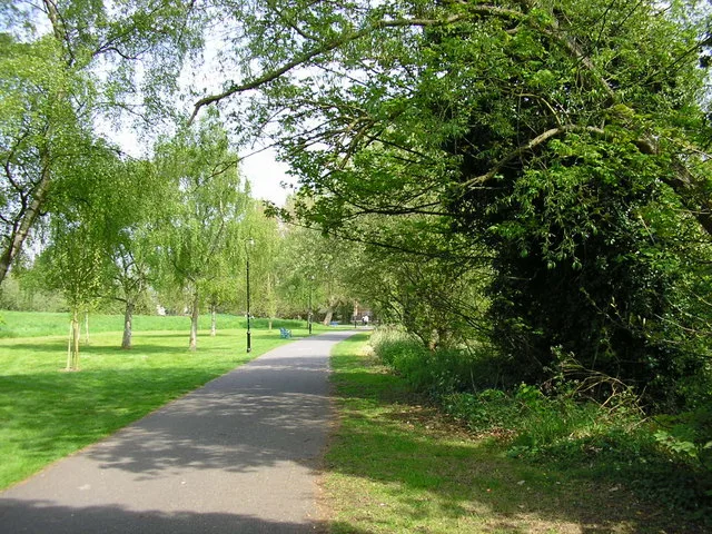
Christchurch Meadows
Christchurch Meadows — riverside park in Reading, England.

Wikimedia Commons contributors — see linked file page for photographer and licence licence
Plan your visit
- Typical visit
- 1.5 h–3 h
- Nearest railway station
- Reading · 0.5 km
- Free entry
- Family-friendly
- Dog-friendly
About
Christchurch Meadows is a country park in the United Kingdom. Wikidata describes it as: "riverside park in Reading, England". Coordinates: 51.4636°, -0.9692°.
Photo gallery
From the Wikipedia article
Christchurch Meadows is a park in Reading, Berkshire, England, located next to the River Thames. It stretches along the north (Caversham) side of the river, between Caversham Bridge and Reading Bridge, and is linked to the south (Reading) bank by the Christchurch Bridge, a pedestrian and cycle bridge built in 2015. The name of the meadow derives from Christ Church in Oxford, whose dean owned 25 acres (10 ha) of farmland in Reading. Christchurch Meadows form part of a series of riverside open spaces, managed by Reading Borough Council, that stretch along one or other side of the River Thames throughout its passage through Reading. From west to east these are Thameside Promenade, Caversham Court, Christchurch Meadows, Hills Meadow, View Island and King's Meadow. The park takes the form of a grass meadow along the river's edge, with specimen trees and shrubs along the bank. At the eastern end there is a fenced children’s play area, with a paddling/boating pool and picnic tables, and a number of sports pitches. A distinctive line of Lombardy poplars edges the eastern boundary. At the western end, the Caversham War Memorial and the Reading University Boat Club can be found. A metalled footpath and cycleway runs along the river bank and provides an alternative to the formal route of the Thames Path long distance footpath, which runs along the built-up southern bank of the river between Reading and Caversham bridges. A second metalled footpath and cycleway connects the northern end of Christchurch Bridge with Gosbrook Road in Caversham, and intersects with the riverside path.
Excerpt from Wikipedia under CC BY-SA 4.0. See the source article linked in Sources below.
- Coordinates
- 51.4636, -0.9692
- District
- Reading
- Parish
- Reading, unparished area
- Postcode
- RG4 8ET
- Parliamentary constituency
- Reading Central
- Nearest railway station
- Reading — 0.5 km
- Opening
- | map = United Kingdom Reading
- Official site
- www.reading.gov.uk
Sources
- wikidata: Q112765006 (CC0)
- wikipedia: Christchurch Meadows, Reading (CC BY-SA 4.0)
- commons: View from Reading Bridge - geograph.org.uk - 1268035.jpg (CC BY-SA 4.0)
Other places nearby
Loading nearby places…
Nearby
 📷 5
📷 5Historic bridges · South East England
Christchurch Bridge
Christchurch Bridge is a historic bridge in the United Kingdom.
 📷 5
📷 5Country parks · South East England
Hills Meadow
Hills Meadow — riverside park in Reading, England.
 📷 5
📷 5Historic bridges · South East England
Reading Bridge
Reading Bridge is a historic bridge in the United Kingdom.
 📷 5
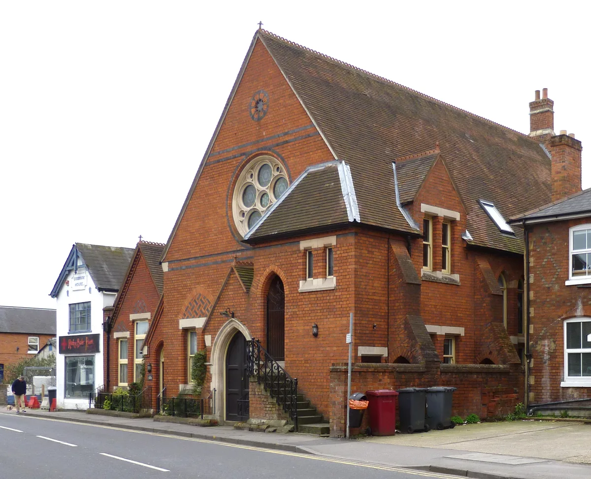
📷 5Historic churches · South East England
West Memorial Hall
West Memorial Hall — church in Caversham, Reading, Berkshire, England, UK.
 📷 5
📷 5Public art & sculpture · South East England
Face carved out of fallen tree
Face carved out of fallen tree — a public art in england-south-east, United Kingdom.
 📷 5
📷 5Forests & woodlands · South East England
View Island
View Island is a forest or woodland in the United Kingdom.
More places in this region
 Flagship📷 10
Country parks · South East England
Forbury Gardens
Forbury Gardens — park in Reading, Berkshire, England, UK.
 📷 5
📷 5Country parks · South East England
Arthur Newbery Park
Arthur Newbery Park — public park in Tilehurst, Reading, UK.
 📷 5
📷 5Country parks · South East England
Baiter Park
Baiter Park — waterfront area of Poole, Dorset.
 📷 5
📷 5Country parks · South East England
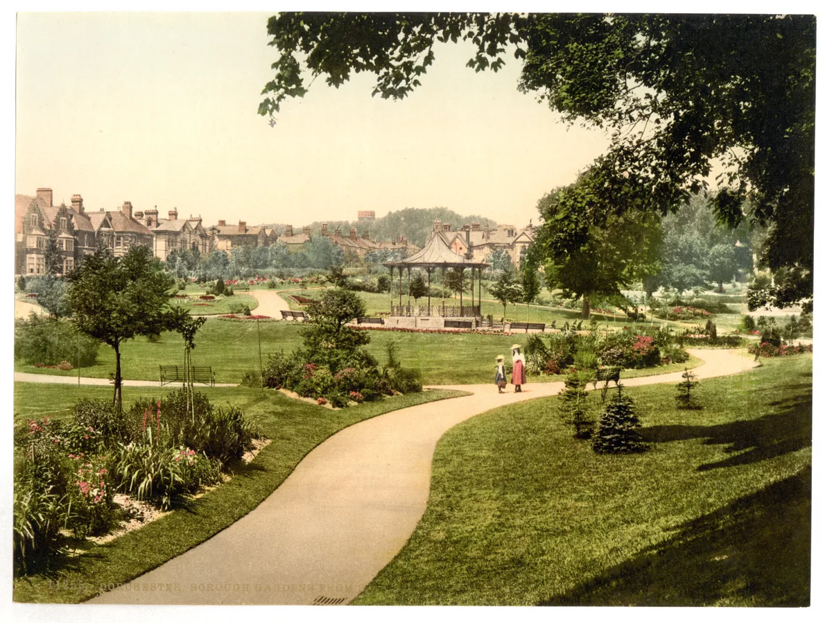
Borough Gardens
Borough Gardens — park in Dorchester, Dorset, England, UK.
Frequently asked questions
- Where is Christchurch Meadows?
- Christchurch Meadows is in South-East England, United Kingdom (postcode RG4 8ET), in the parish of Reading, unparished area.
- Who owns Christchurch Meadows?
- Christchurch Meadows is owned by | visitation_num =.
- Is Christchurch Meadows free to visit?
- Yes, Christchurch Meadows is free to enter.
- How do I get to Christchurch Meadows?
- The nearest railway station is Reading, about 0.5 km away. Drivers can navigate to postcode RG4 8ET.