Castles · North West England
Castlesteads, Greater Manchester
Castlesteads is an Iron Age promontory fort, situated on the east bank of the River Irwell on a natural promontory in Bury, Greater Manchester (grid reference SD79691299). It is listed as a scheduled

David Dixon — CC BY-SA 2.0 via Wikimedia Commons licence
Plan your visit
- Typical visit
- 1.5 h–3 h
- Family-friendly
- Limited wheelchair access
About
Castlesteads is an Iron Age promontory fort, situated on the east bank of the River Irwell on a natural promontory in Bury, Greater Manchester (grid reference SD79691299). It is listed as a scheduled monument. Excavated pottery indicates the site was occupied between 200BC and 250AD.
Photo gallery
From the Wikipedia article
Castlesteads is an Iron Age promontory fort, situated on the east bank of the River Irwell on a natural promontory in Bury, Greater Manchester (grid reference SD79691299). It is listed as a scheduled monument. Excavated pottery indicates the site was occupied between 200BC and 250AD.
Excerpt from Wikipedia under CC BY-SA 4.0. See the source article linked in Sources below.
- Coordinates
- 53.6129, -2.3070
- District
- Bury
- Parish
- Bury, unparished area
- Postcode
- BL8 1DA
- Parliamentary constituency
- Bury North
- Official site
- www.eastlancsrailway.org.uk
Sources
- wikipedia: Castlesteads, Greater Manchester (CC BY-SA 4.0)
Other places nearby
Loading nearby places…
Nearby
Vineyards · North West England
Castlesteads
Castlesteads — a UK vineyard in england north west, producing English or Welsh wine from cool-climate grape varieties.
Campsites · North West England
Burrs Country Park Caravan Club
Burrs Country Park Caravan Club — a campsite in england north west.
 📷 4
📷 4Public art & sculpture · North West England
Stone Cycle
Stone Cycle — a public art in england-north-west, United Kingdom.
 📷 3
📷 3Parks · North West England
Burrs Country Park
Burrs Country Park — park in United Kingdom.
 📷 3
📷 3Country parks · North West England
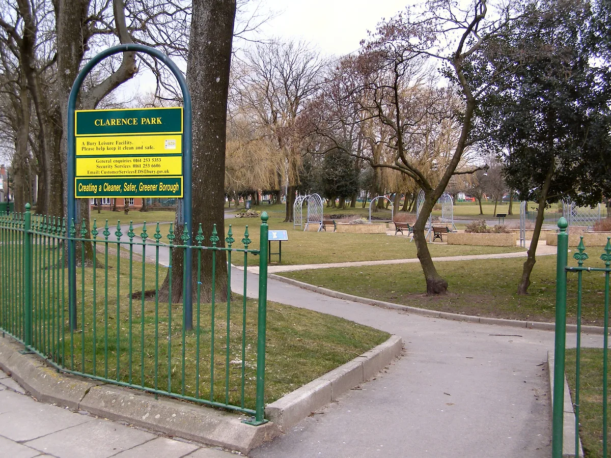
Clarence Park
Clarence Park — urban park in Bury, Greater Manchester, England.
 📷 3
📷 3Public art & sculpture · North West England
Locomotive "Bury"
Locomotive "Bury" — a public art in england-north-west, United Kingdom.
More castles in this region
 📷 5
📷 5Castles · North West England
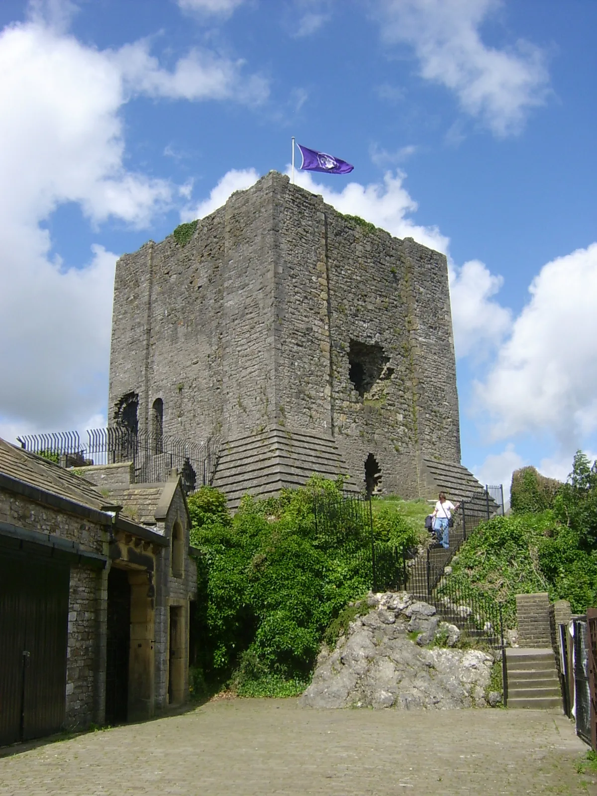
Clitheroe Castle
Clitheroe Castle — castle in Lancashire, England, UK.
 📷 3
📷 3Castles · North West England
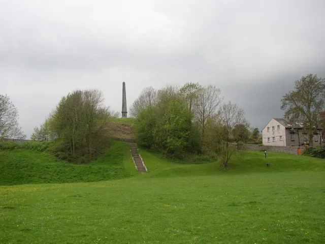
Castle Howe
Castle Howe — Castle in Cumbria, England.
 📷 3
📷 3Castles · North West England
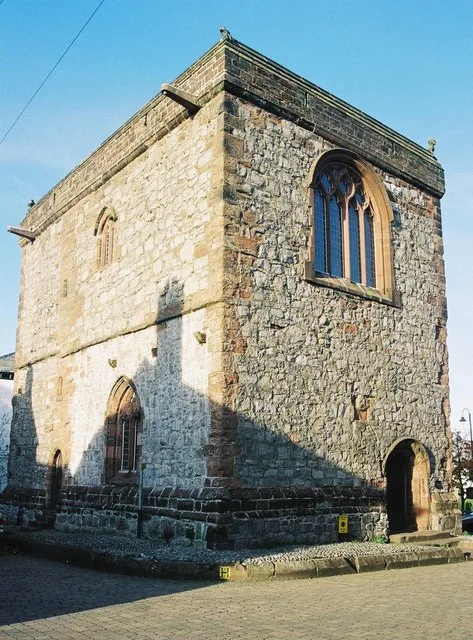
Dalton Castle
Dalton Castle — Grade I listed local museum in Dalton Town with Newton, Westmorland and Furness, Cumbria , England, UK.
 📷 5
📷 5Castles · North West England
Dobroyd Castle
Dobroyd Castle — castle in Todmorden, West Yorkshire, England, UK.
Frequently asked questions
- Where is Castlesteads, Greater Manchester?
- Castlesteads, Greater Manchester is in North-West England, United Kingdom (postcode BL8 1DA), in the parish of Bury, unparished area.
- Does Castlesteads, Greater Manchester charge admission?
- Castlesteads, Greater Manchester typically charges admission. Check the official site for current ticket prices and opening hours.
- How do I get to Castlesteads, Greater Manchester?
- Drivers can navigate to postcode BL8 1DA. It sits within the Bury North parliamentary constituency.