Mountains & hills · Central Scotland
Castle Rock
Also known as: Creag a' Chaisteil, Creag an Chaisteil
Castle Rock — Named summit at 130 m.

Wikimedia Commons contributors — see linked file page for photographer and licence licence
Plan your visit
- Typical visit
- 3 h–8 h
- Best time of year
- Late spring – early autumn (May–Oct)
- Nearest railway station
- Edinburgh Waverley · 0.7 km
- Free entry
- Family-friendly
- Dog-friendly
About
Castle Rock is a named summit in the United Kingdom. Also known as: Creag a' Chaisteil, Creag an Chaisteil. Wikidata describes it as: "Named summit at 130 m.". Coordinates: 55.9482°, -3.1997°.
Photo gallery
From the Wikipedia article
Castle Rock (Scottish Gaelic: Creag a' Chaisteil, Scottish Gaelic pronunciation: [ˈkʰʲɾʲekˈaˈxaʃtʰʲɪl]) is a volcanic plug in the middle of Edinburgh upon which Edinburgh Castle sits. The rock is estimated to have formed some 350 million years ago during the early Carboniferous period. It is the remains of a volcanic pipe which cut through the surrounding sedimentary rock, before cooling to form very hard dolerite, a coarser-grained equivalent of basalt. Subsequent glacial erosion was resisted more by the dolerite, which protected the softer rock to the east, leaving a crag and tail formation. The summit of the castle rock is 130 m (430 ft) above sea level, with rocky cliffs to the south, west and north, rearing up to 80 m (260 ft) from the surrounding landscape. This means that the only readily accessible route to the castle lies to the east, where the ridge slopes more gently. The defensive advantage of such a site is clear, but the geology of the rock also presents difficulties, since basalt is an extremely poor aquifer. Providing water to the Upper Ward of the castle was problematic, and despite the sinking of a 28 m (92 ft) deep well, the water supply often ran out during drought or siege, for example during the Lang Siege of 1573.
Excerpt from Wikipedia under CC BY-SA 4.0. See the source article linked in Sources below.
- Coordinates
- 55.9482, -3.1997
- District
- City of Edinburgh
- Postcode
- EH1 2JY
- Parliamentary constituency
- Edinburgh East and Musselburgh
- Nearest railway station
- Edinburgh Waverley — 0.7 km
- Official site
- books.google.com
Sources
- osm: n3969496784 (ODbL)
- wikipedia: Castle Rock (Edinburgh) (CC BY-SA 4.0)
- commons: EdinburghCastle2003.jpg (CC BY-SA 4.0)
Other places nearby
Loading nearby places…
Nearby
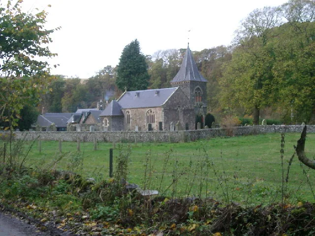
 📷 3
📷 3Historic houses · Central Scotland
The Great Hall
The Great Hall — a other in scotland-central, United Kingdom.
Vineyards · Central Scotland
Edinburgh Castle
Edinburgh Castle — a UK vineyard in scotland central, producing English or Welsh wine from cool-climate grape varieties.
 📷 3
📷 3Palaces · Central Scotland
Royal Palace
Royal Palace — a palace in scotland-central, United Kingdom.
 📷 4
📷 4Memorials & monuments · Central Scotland
Scottish National War Memorial
Scottish National War Memorial is a memorial in the United Kingdom.
 📷 3
📷 3Natural landmarks · Central Scotland
Queen Ann Building
Queen Ann Building — a other in scotland-central, United Kingdom.
📷 3Museums · Central Scotland
Prisoners of War Museum
Prisoners of War Museum — a museum in scotland-central, United Kingdom.
More mountains in this region
 📷 3
📷 3Mountains & hills · Central Scotland
Abbey Hill
Abbey Hill — Named summit at 278 m.
 📷 3
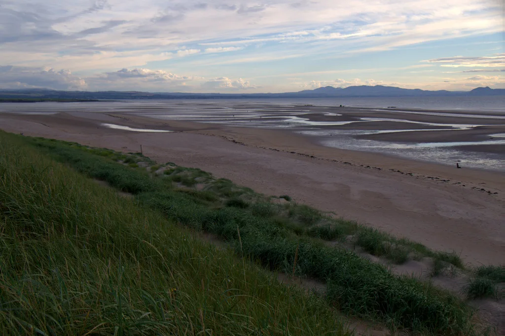
📷 3Mountains & hills · Central Scotland
Aberlady Bay
Aberlady Bay — bay on the north coast of East Lothian, Scotland, UK.
 📷 3
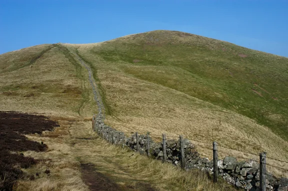
📷 3Mountains & hills · Central Scotland
Allermuir Hill
Allermuir Hill — Named summit at 493 m.
 📷 3
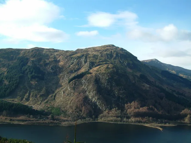
📷 3Mountains & hills · Central Scotland
Ardnandave
Ardnandave — Named summit at 715 m.
Frequently asked questions
- Where is Castle Rock?
- Castle Rock is in central Scotland, United Kingdom (postcode EH1 2JY).
- Is Castle Rock free to visit?
- Yes, Castle Rock is free to enter.
- How do I get to Castle Rock?
- The nearest railway station is Edinburgh Waverley, about 0.7 km away. Drivers can navigate to postcode EH1 2JY.