Reservoirs & lochs · East Midlands
Carsington Water
Also known as: Llyn Carsington
Carsington Water — reservoir in Derbyshire, United Kingdom.

Wikimedia Commons contributors — see linked file page for photographer and licence licence
Plan your visit
- Typical visit
- 1 h–2.5 h
- Nearest railway station
- Idridgehay · 4.8 km
- Free entry
- Dog-friendly
About
Carsington Water is a reservoir in the United Kingdom. Wikidata describes it as: "reservoir in Derbyshire, United Kingdom". Coordinates: 53.0583°, -1.6306°.
Photo gallery
From the Wikipedia article
Carsington Water is a reservoir, operated by Severn Trent Water, between Wirksworth and Kniveton in Derbyshire, England. The reservoir takes water from the River Derwent at Ambergate during winter months, pumping up to the reservoir by 10.5-kilometre (6.5 mi) long tunnels and aqueduct. Water is released back into the river during summer months for water abstraction and treatment further downstream. It is England's ninth-largest reservoir with a capacity of 36,331 megalitres. Planning for the reservoir started in the 1960s and construction started in 1979. In 1984, there was a partial collapse of the dam before it was filled. The dam was removed before the construction of a new dam began in 1989. The finished reservoir was opened by Queen Elizabeth II in 1992. The reservoir is a major centre for leisure activities including walking, cycling, fly fishing, birdwatching, sailing, canoeing, and windsurfing. The land surrounding the reservoir, in particular the facilities around the visitor centre, has hosted events including a music festival, the Festival of the Peak.
Excerpt from Wikipedia under CC BY-SA 4.0. See the source article linked in Sources below.
- Coordinates
- 53.0583, -1.6306
- County
- Derbyshire
- District
- Derbyshire Dales
- Parish
- Kirk Ireton
- Postcode
- DE6 3LA
- Parliamentary constituency
- Derbyshire Dales
- Nearest railway station
- Idridgehay — 4.8 km
Sources
- wikidata: Q933452 (CC0)
- wikipedia: Carsington Water (CC BY-SA 4.0)
- commons: Carsington Water - geograph.org.uk - 10298.jpg (CC BY-SA 4.0)
Other places nearby
Loading nearby places…
Nearby
Mountain bike trails · East Midlands
Carsington Water Cycle Route
Carsington Water Cycle Route — a mtb trail in england east midlands.
 📷 3
📷 3Natural landmarks · East Midlands
Carsington Water Visitor Centre
Carsington Water Visitor Centre — a natural landmark in england-east-midlands, United Kingdom.
 📷 5
📷 5Public art & sculpture · East Midlands
Gnome
Gnome — a public art in england-east-midlands, United Kingdom.
Campsites · East Midlands
Uppertown Farm
Uppertown Farm — a campsite in england east midlands.
 📷 3
📷 3Natural landmarks · East Midlands
Millfields
Millfields — a other in england-east-midlands, United Kingdom.
Caravan parks · East Midlands
Carsington Water Caravan Club Site
Carsington Water Caravan Club Site — a caravan park in england east midlands.
More places in this region
 Flagship📷 5
Reservoirs & lochs · East Midlands
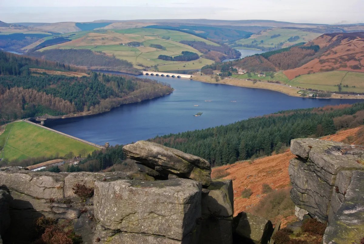
Ladybower Reservoir
Ladybower Reservoir — reservoir in Derbyshire, England.
 📷 3
📷 3Reservoirs & lochs · East Midlands
Toddbrook Reservoir
Toddbrook Reservoir — reservoir in Derbyshire, England, UK.
 📷 3
📷 3Reservoirs & lochs · East Midlands
Agden Reservoir
Agden Reservoir — reservoir in South Yorkshire, England, UK.
 📷 5
📷 5Reservoirs & lochs · East Midlands
Arnfield Reservoir
Arnfield Reservoir — reservoir in Derbyshire, England, UK.
Frequently asked questions
- Where is Carsington Water?
- Carsington Water is in East Midlands, in the United Kingdom — coordinates 53.0583°, -1.6306°. The nearest railway station is Idridgehay, around 4.8 km away.
- Is Carsington Water free to visit?
- Yes — admission to Carsington Water is free.