Towns & cities · Scottish Highlands
Cardross
Also known as: Càrdanros
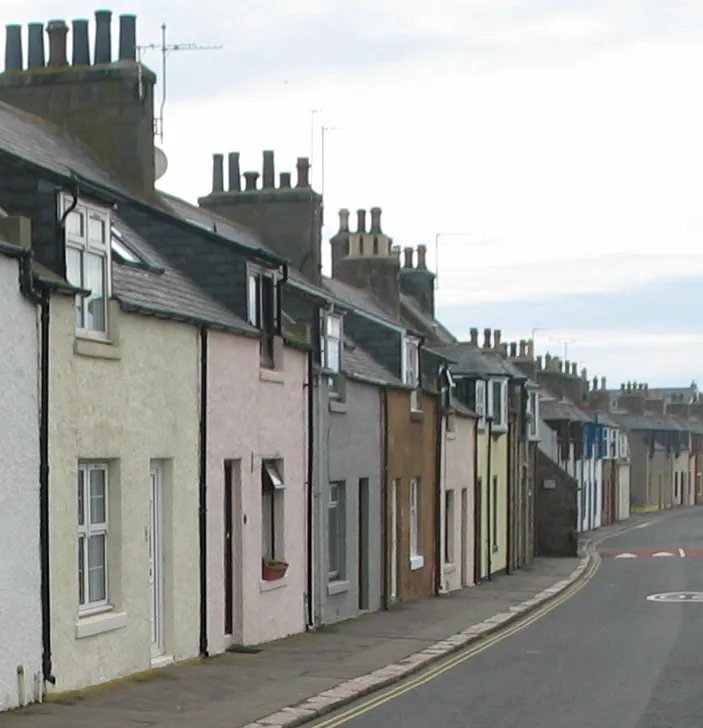
Cardross — village in Argyll and Bute, Scotland.

Wikimedia Commons contributors — see linked file page for photographer and licence licence
Plan your visit
- Typical visit
- 3 h–6 h
- Nearest railway station
- Cardross · 1.4 km
- Free entry
- Family-friendly
- Dog-friendly
About
Cardross is a town, city, village or settlement in the United Kingdom. Recent population estimates put it at around 2,110 people. Wikidata describes it as: "village in Argyll and Bute, Scotland". Coordinates: 55.9667°, -4.6333°.
Photo gallery
Official information
Set on the fringe of the Scottish Highlands, Loch Lomond and the Trossachs National Park, the home of Sir Archie and Lady Orr Ewing.
Read more on the official property page.
From the Wikipedia article
Cardross (Scottish Gaelic: Càrdainn Ros) is a large village with a population of 2,032 (2022) in Scotland, on the north side of the Firth of Clyde, situated halfway between Dumbarton and Helensburgh. Cardross is in the historic geographical county of Dunbartonshire but the modern political local authority of Argyll and Bute. Cardross Village took its name from the historic parish in which it is located and where King Robert the Bruce lived the final years of his life. The Parish of Cardross stretched in area from the River Leven on the west side of Dumbarton to Camus Eskan (near Helensburgh), and stretched as far north to include the village of Renton in the Vale of Leven. The distinction between Cardross village and Cardross Parish is particularly important for students of Scottish history. King Robert the Bruce's documented association with ’Cardross’ occurred three centuries prior to the existence of the modern-day village, and at a time when the name referred to the ecclesiastical parish and its church, Cardross Kirk. The original piece of land known as ’Cardross’ is at the eastern edge of the historic parish and the western point of the confluence of the River Clyde and River Leven at the town of Dumbarton, facing across to Dumbarton Rock and Castle. Today the land is known as “sand point” and sits on the edge of Dumbarton's Levengrove Park. The site of medieval Cardross Kirk, and its remains, sits within Levengrove Park.
Excerpt from Wikipedia under CC BY-SA 4.0. See the source article linked in Sources below.
Background
History
During the era when Cardross was part of the Common Brittonic-speaking Hen Ogledd and ruled over by the Kingdom of Strathclyde, the Catholic Church founded a monastery by at least the 6th-century upon the present site of St Mahew's Roman Catholic Church. Following his victory in the Scottish Wars of Independence, King Robert the Bruce purchased the portions of lands of Pillanflatt lying on the western bank of the River Leven, Dunbartonshire, in the Parish of Cardross from the Earl of Lennox in 1326. In 1329, the Bruce died at the manorial house that he built there. A field on the bank of River Leven south of the village of Renton, West Dunbartonshire, called the Mains of Cardross, is…
Sourced from Wikipedia under CC BY-SA 4.0.
- Coordinates
- 55.9667, -4.6333
- District
- Argyll and Bute
- Postcode
- G82 5ES
- Parliamentary constituency
- Argyll, Bute and South Lochaber
- Population
- 2,110
- Nearest railway station
- Cardross — 1.4 km
Sources
- wikidata: Q212088 (CC0)
- wikipedia: Cardross (CC BY-SA 4.0)
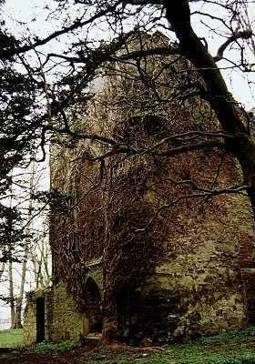
- commons: Geilston House.jpg (CC BY-SA 4.0)
Other places nearby
Loading nearby places…
Nearby
 📷 4
📷 4Gardens · Scottish Highlands
St Peter's Seminary
St Peter's Seminary — a garden in scotland-highlands, United Kingdom.
 📷 3
📷 3Castles · Scottish Highlands
Kilmahew Castle
Kilmahew Castle — castle in Argyll and Bute, Scotland, UK.
 📷 5
📷 5Historic churches · Scottish Highlands
Former Parish Church, Main Road, Cardross
Former Parish Church, Main Road, Cardross — category B listed building-listed church in scotland-highlands, United Kingdom.
 📷 5
📷 5Historic bridges · Scottish Highlands
Moore's Bridge
Moore's Bridge — category C listed building-listed bridge in scotland-highlands, United Kingdom.
 📷 5
📷 5Memorials & monuments · Scottish Highlands
War Memorial, Main Road, Cardross
War Memorial, Main Road, Cardross — category B listed building-listed memorial in scotland-highlands, United Kingdom.
📷 3Memorials & monuments · Scottish Highlands
John Reginald Noble Graham VC Memorial
John Reginald Noble Graham VC Memorial — a memorial in scotland-highlands, United Kingdom.
More towns in this region
 Flagship📷 3
Towns & cities · Scottish Highlands
Cruden Bay
Cruden Bay — village in Aberdeenshire, Scotland, UK.
 Flagship📷 3
Towns & cities · Scottish Highlands
Inverness
Inverness — city in the Highlands of Scotland, United Kingdom.
 Flagship📷 3
Towns & cities · Scottish Highlands
Kyle of Lochalsh
Kyle of Lochalsh — village in Highland, Scotland, UK.
 📷 4
📷 4Towns & cities · Scottish Highlands
Aberchirder
Aberchirder — village in Aberdeenshire, Scotland, UK.
Frequently asked questions
- Where is Cardross?
- Cardross is in the Scottish Highlands, United Kingdom (postcode G82 5ES).
- Is Cardross free to visit?
- Yes, Cardross is free to enter.
- How do I get to Cardross?
- The nearest railway station is Cardross, about 1.4 km away. Drivers can navigate to postcode G82 5ES.