Harbours & ports · Scottish Lowlands
Cairnryan Harbour
Cairnryan Harbour — human settlement in Dumfries and Galloway, Scotland, UK.

Michael Dibb — CC BY-SA 2.0 via Wikimedia Commons licence
Plan your visit
- Typical visit
- 45 min–1.5 h
- Nearest railway station
- Stranraer · 7.2 km
- Family-friendly
- Dog-friendly
About
Cairnryan Harbour is a harbour in the United Kingdom. Wikidata describes it as: "human settlement in Dumfries and Galloway, Scotland, UK". Coordinates: 54.9742°, -5.0301°.
Photo gallery
From the Wikipedia article
Cairnryan Harbour is a roll-on ferry terminal on Loch Ryan in south west Scotland north of Stranraer. In World War II it was developed as an emergency west coast port facility, in case Liverpool or the Clyde ports were put out of commission by enemy action.
Excerpt from Wikipedia under CC BY-SA 4.0. See the source article linked in Sources below.
- Coordinates
- 54.9742, -5.0301
- District
- Dumfries and Galloway
- Postcode
- DG9 8RB
- Parliamentary constituency
- Dumfries and Galloway
- Nearest railway station
- Stranraer — 7.2 km
Sources
- wikidata: Q5017704 (CC0)
- wikipedia: Cairnryan Harbour (CC BY-SA 4.0)
Other places nearby
Loading nearby places…
Nearby
 📷 3
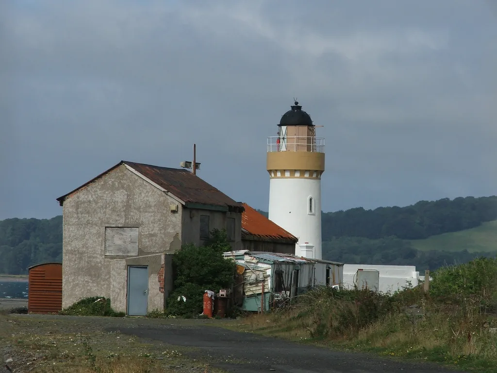
📷 3Lighthouses · Scottish Lowlands
Lochryan Lighthouse
Lochryan Lighthouse — lighthouse in Dumfries and Galloway, Scotland, UK.
.jpg?width=1200) 📷 3
📷 3Historic houses · Scottish Lowlands
Lochryan House
Lochryan House — house in Dumfries and Galloway, Scotland, UK.
 📷 5
📷 5Historic churches · Scottish Lowlands
Lochryan Church And Burial-Ground
Lochryan Church And Burial-Ground — category C listed building-listed church in scotland-lowlands, United Kingdom.
Campsites · Scottish Lowlands
Cairnryan Heights Holiday Park
Cairnryan Heights Holiday Park — a campsite in scotland lowlands.
 📷 3
📷 3Archaeological sites · Scottish Lowlands
High Croach
High Croach — a archaeological in scotland-lowlands, United Kingdom.
 📷 3
📷 3Beaches · Scottish Lowlands
Wig Sands
Wig Sands is a beach in the United Kingdom.
More places in this region
_12.jpg?width=1200) 📷 3
📷 3Harbours & ports · Scottish Lowlands
Alnmouth harbour
Alnmouth harbour — harbour at Alnmouth, Northumberland, England, UK.
 📷 3
📷 3Harbours & ports · Scottish Lowlands
Ayr Harbour
Ayr Harbour — harbor in Ayr, South Ayrshire, Scotland, UK.
 📷 3
📷 3Harbours & ports · Scottish Lowlands
Barlochan Port
Barlochan Port — tidal harbour on Urr Water, Dumfries and Galloway, Scotland, UK.
 📷 3
📷 3Harbours & ports · Scottish Lowlands
Craster harbour
Craster harbour — harbour at Craster, Northumberland, England, UK.
Frequently asked questions
- Where is Cairnryan Harbour?
- Cairnryan Harbour is in Scottish Lowlands, in the United Kingdom — coordinates 54.9742°, -5.0301°. The nearest railway station is Stranraer, around 7.2 km away.