Mountains & hills · North Wales
Cadair Bronwen
Also known as: Cader Fronwen, Cader Bronwen;Cader Fronwen, Cadair Fronwen
Cadair Bronwen — Named summit at 784 m.

Wikimedia Commons contributors — see linked file page for photographer and licence licence
Plan your visit
- Typical visit
- 3 h–8 h
- Best time of year
- Late spring – early autumn (May–Oct)
- Nearest railway station
- Corwen · 8.9 km
- Free entry
- Dog-friendly
About
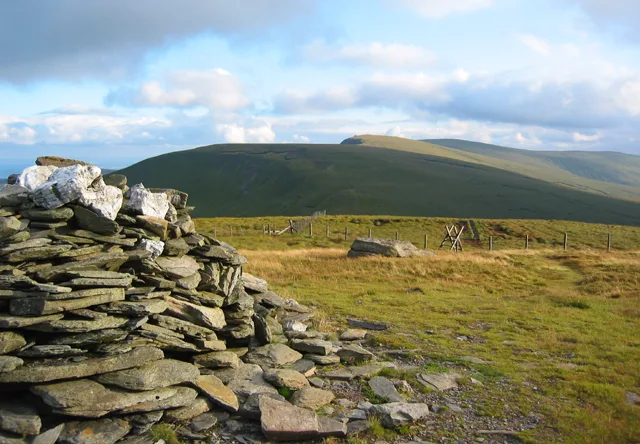
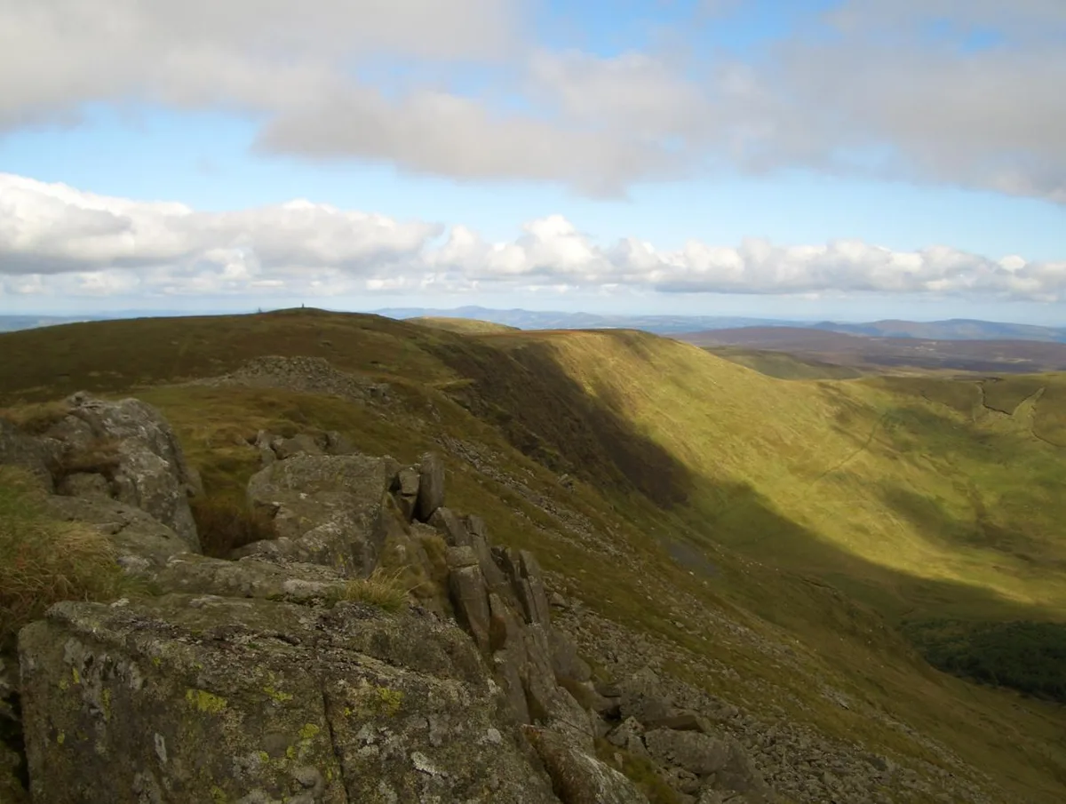
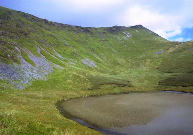
Cadair Bronwen is a named summit in the United Kingdom. Also known as: Cader Fronwen, Cader Bronwen;Cader Fronwen. Wikidata describes it as: "Named summit at 784 m.". Coordinates: 52.9015°, -3.3729°.
Photo gallery
From the Wikipedia article
Cadair Bronwen is a mountain in North Wales and forms part of the Berwyn range. To the south are the higher Berwyn summits, including Cadair Berwyn. To the north lies Moel yr Henfaes and Moel Fferna, which top the north end of the Berwyn range. Cadair Bronwen used to be accompanied by a Nuttall top, Cadair Bronwen North-East Top, 700 m (2,300 ft). This top was deleted in 2007 after re-surveying. Its summit is the highest point in the unitary authority of Wrexham.
Excerpt from Wikipedia under CC BY-SA 4.0. See the source article linked in Sources below.
- Coordinates
- 52.9015, -3.3729
- Address
- Denbighshire / Wrexham, Wales
- Nearest railway station
- Corwen — 8.9 km
Sources
- osm: n2189485308 (ODbL)
- wikipedia: Cadair Bronwen (CC BY-SA 4.0)
- commons: Cadair Bronwen.jpg (CC BY-SA 4.0)
Other places nearby
Loading nearby places…
Nearby
 📷 3
📷 3Natural landmarks · North Wales
Cadair Bronwen
Cadair Bronwen — mountain (783.4m) in Denbighshire.
 📷 3
📷 3Mountains & hills · North Wales
Craig Berwyn
Craig Berwyn — a mountain in wales-north, United Kingdom, 790 m.
 📷 4
📷 4Mountains & hills · North Wales
Tomle
Tomle — a mountain in wales-north, United Kingdom, 741 m.
 📷 3
📷 3Mountains & hills · North Wales
Cadair Berwyn North Top
Cadair Berwyn North Top — Named summit at 827 m.
 📷 3
📷 3Memorials & monuments · North Wales
Wayfarer Memorial
Wayfarer Memorial — a memorial in wales-north, United Kingdom.
 📷 3
📷 3Natural landmarks · North Wales
Cadair Berwyn
Cadair Berwyn — mountain (832m) in Powys.
More mountains in this region
 📷 5
📷 5Mountains & hills · North Wales
Cemlyn Bay and lagoon
Cemlyn Bay and lagoon — Site of Special Scientific Interest in Wales.
 📷 3
📷 3Mountains & hills · North Wales
Aberffraw Bay
Aberffraw Bay — bay on the west coast of Anglesey, in Wales, UK.
 📷 3
📷 3Mountains & hills · North Wales
Allt-fawr
Allt-fawr — Named summit at 698 m.
 📷 3
📷 3Mountains & hills · North Wales
Aran Benllyn
Aran Benllyn — Named summit at 884 m.
Frequently asked questions
- Where is Cadair Bronwen?
- Cadair Bronwen is in North Wales, in the United Kingdom — coordinates 52.9015°, -3.3729°. The nearest railway station is Corwen, around 8.9 km away.
- Is Cadair Bronwen free to visit?
- Yes — admission to Cadair Bronwen is free.